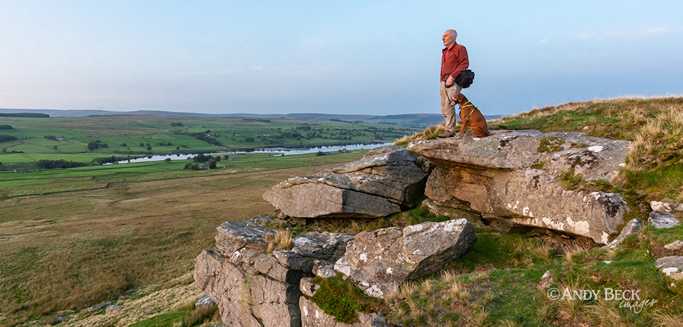
Teesdale. This landscape is where I call home. Consequently it will feature heavily on this website with plenty of walks and photographs and artwork complete with route cards, location details and other points of interest. The map shown below roughly delineates the area of Teesdale that I use for this page and is for guidance only. It is made up of the natural watershed of the upper reaches of the River Tees and its tributaries as well as the administrative boundaries at the eastern end.

If you are viewing this page on a mobile device you may need to turn it into the horizontal to see the whole table below.
On Location Teesdale
A list of photographic locations and walks in Teesdale from Andy Beck| Location | date | walk or location | |
|---|---|---|---|
| Winter at Egglestone Abbey | 9th January 2025 | Photographic location | 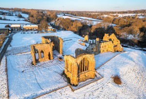 |
| West Loups’s Abandoned Farmstead | 24th March 2024 | walk | 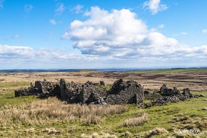 |
| Low Force Teesdale | 27th April 2021 | Photographic location | 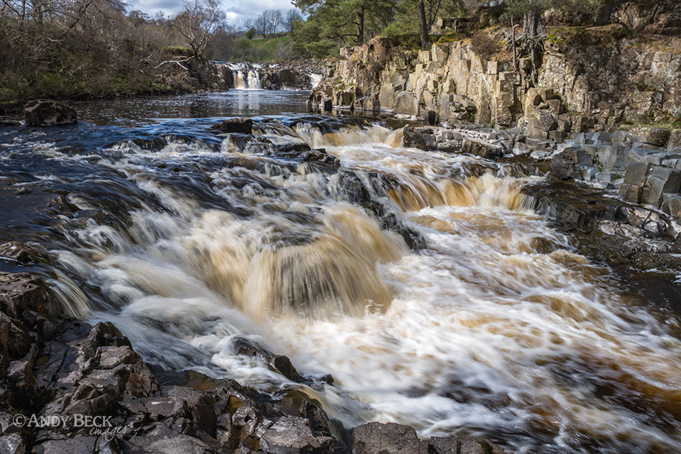 |
| Cotherstone Moor | 27th April 2021 | Walk/ photographic location | 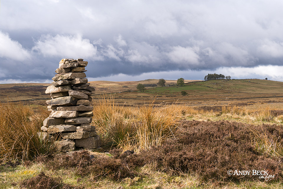 |
| Winter Wonderland at Bowes | 12th February 2021 | Walk |  |
| Winter at Bowes Museum | 15th Jan 2021 | Photographic location |  |
| Snow around Bowes Village | 15th Jan 2021 | Photographic location | 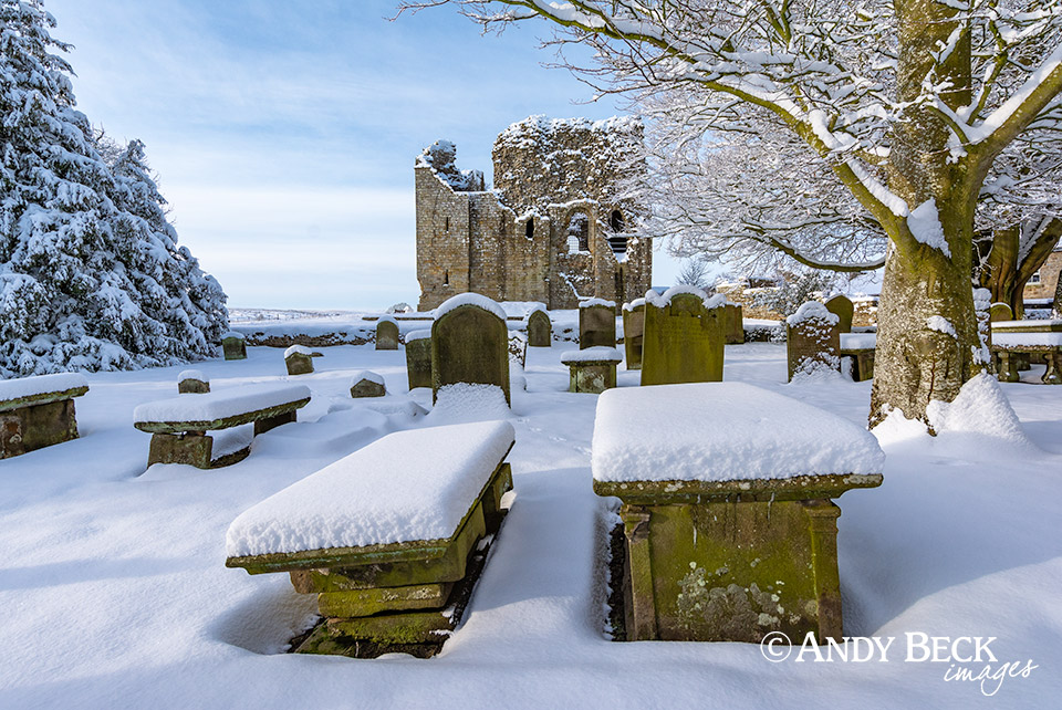 |
| Upper Teesdale in Snow | 29th Jan 2020 | Photographic location | 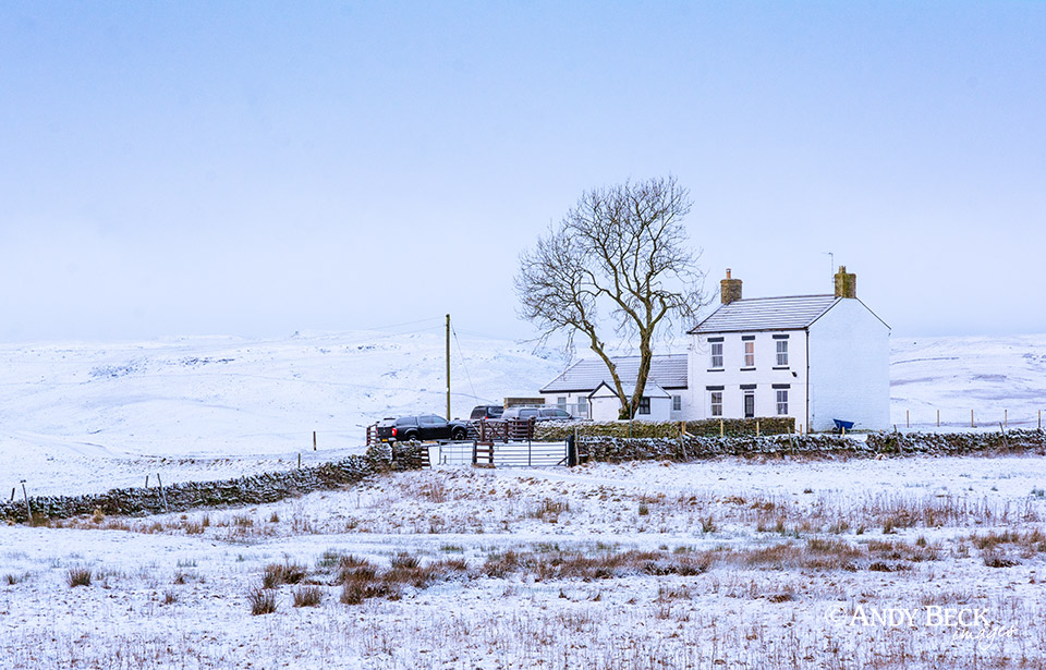 |
| Sheep and snow at Bowes | 6th Jan 2021 | Photographic location | 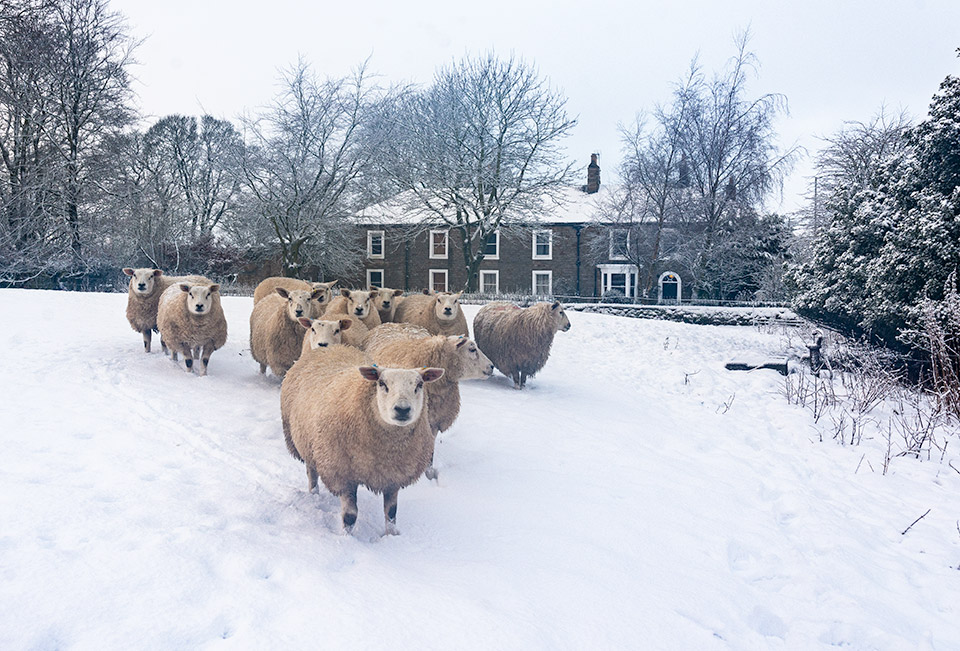 |
| Circular walk from Bowes | 13th February 2020 | walk |  |
| Frosty dawn at Raby Castle | 26th November 2016 | Photographic location | 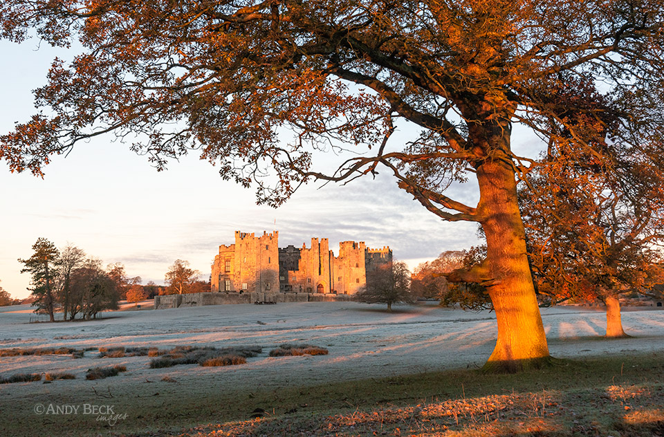 |
| High Force from Holwick | 25th December 2020 | Walking route | 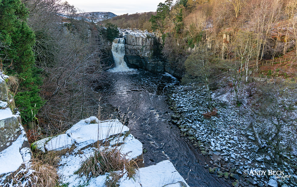 |
| Autumn snow at Low Force | 9th November 2016 | Walking route | 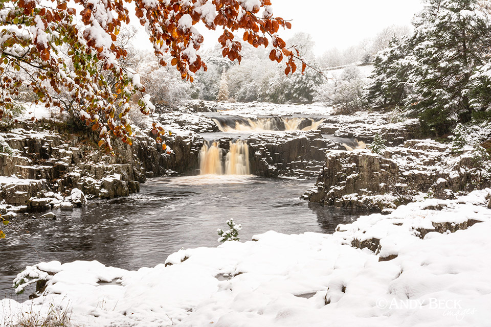 |
| Winter in Upper Teesdale | 11th February 2020 | Photographic location | 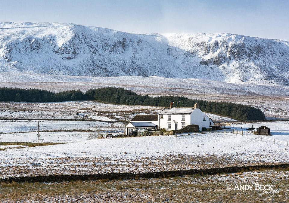 |
| Teesdale Waterfalls | 20th October 2015 | Photographic location/walk | 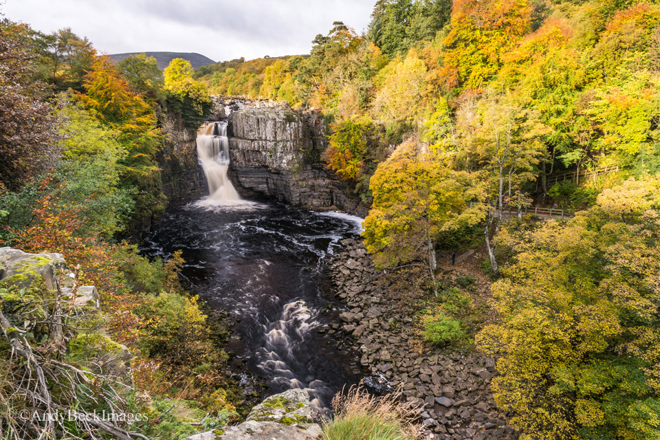 |

