A more unusual route to take in these two Wainwright Fells
On Location: 22nd April 2021
Parking: Limited parking space near St Anne’s farm, Grassgarth. Please be considerate to farmers and other users of the byway. GR: SD4417 9960
Route map: click on the arrow to play the route. GPX route available by clicking in the Plotaroute.com link at the bottom right.
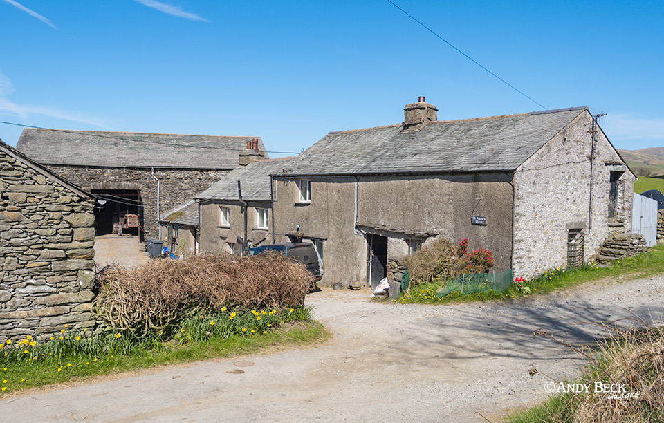
It was a glorious morning. We parked up opposite this classic lakeland homestead of St Anne’s Farm. Space here is very limited so please be considerate for other users of the area, especially the farmer.
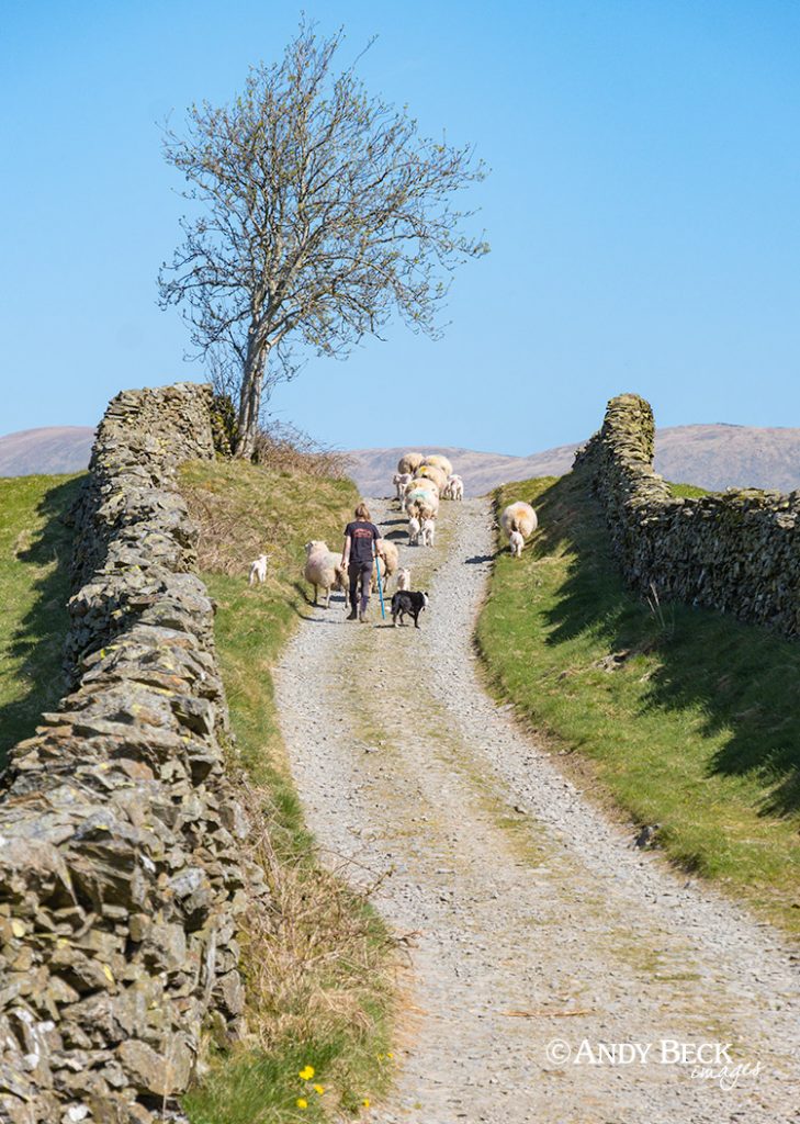
Heading north along the green lane we followed the young shepherdess as she and her dog took the ewes and lambs to fresh patures.
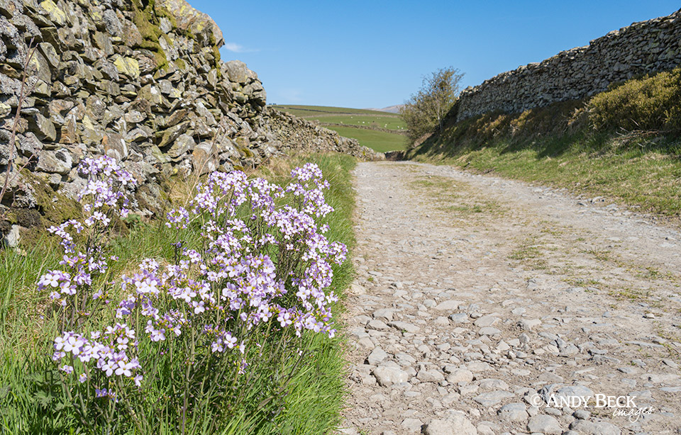
The verges of the lane had strong clusters of Cuckoo flower.
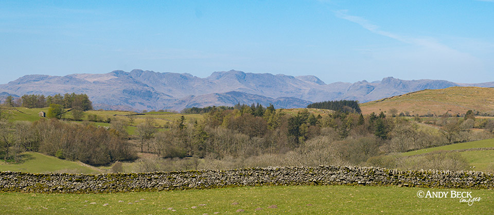
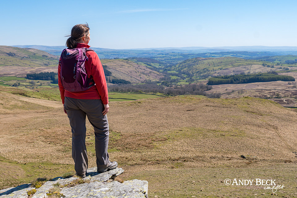
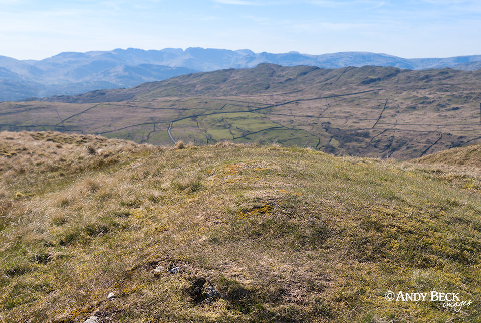
Looking over one of the walls we could see the higher lakeland fells over to the west.
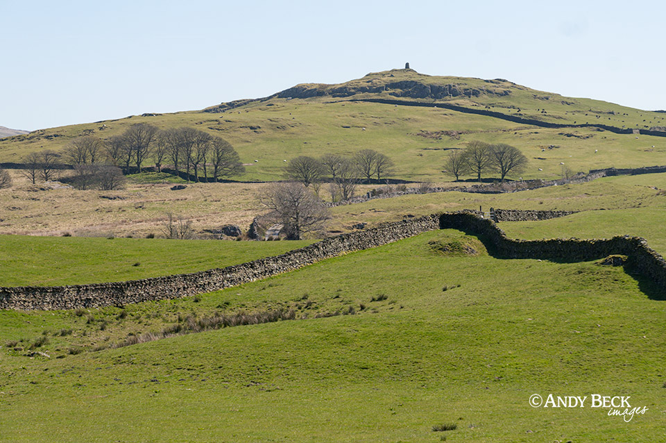
To the east, High Knott and Williamson’s monument were just over a couple of fields. That one is lined up for a visit soon.
Sour Howes will be our second fell of the day. Sallows is just off to the right on the edge of this picture.
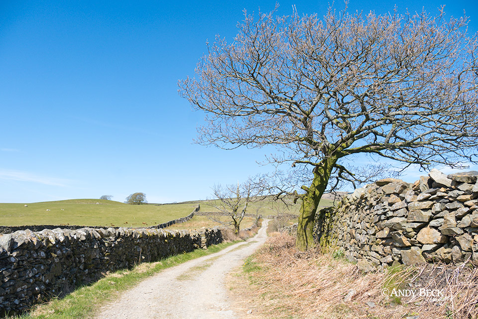
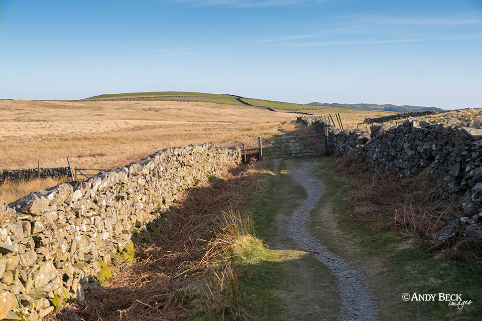
It’s a delightful lane and easy walking, especially in this warm sunshine.
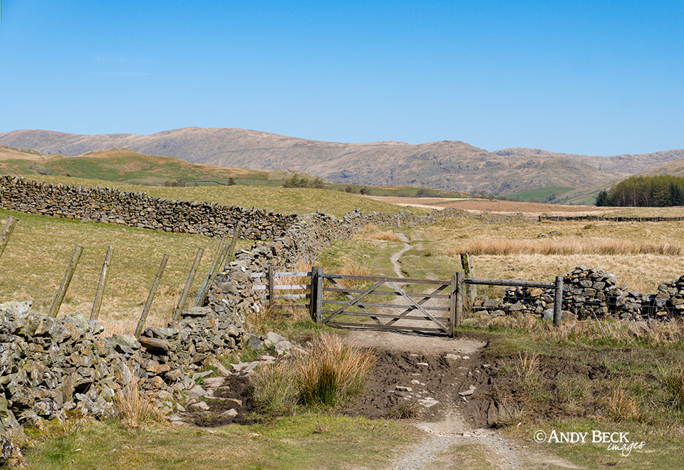
After a distance of about 1 mile the bridleway splits and we head right. This is in the direction of Kentmere and takes us past Mickle Moss.
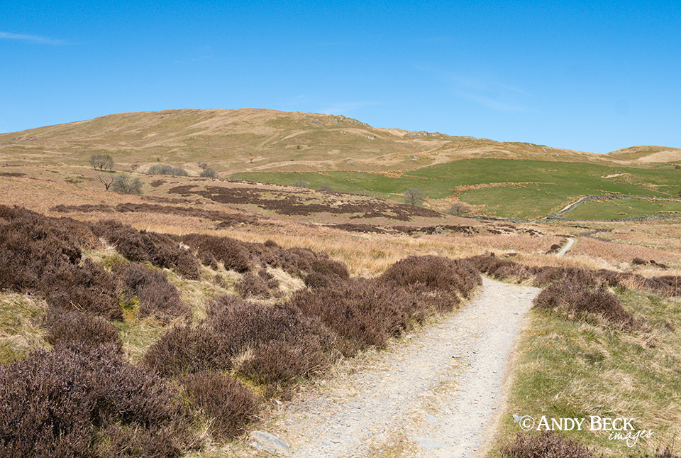
Sallows is now fully in view and we will be taking a route that takes a diagonal line up through the green pasture.
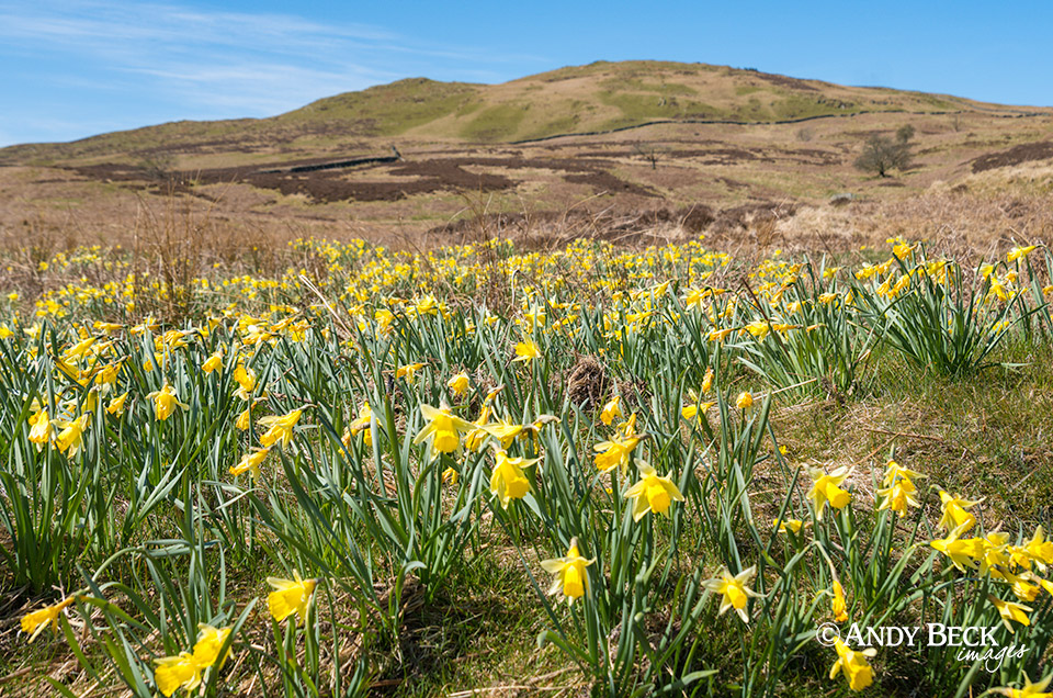
It was a pleasant surprise to find this patch of wild daffodils which were just going over but still putting on a great display.
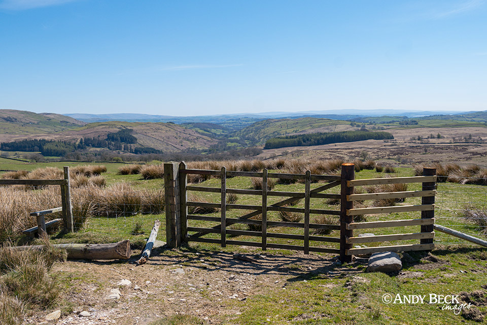
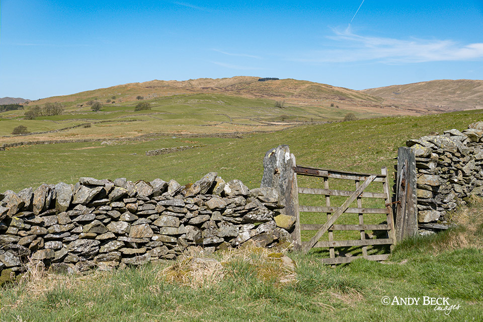
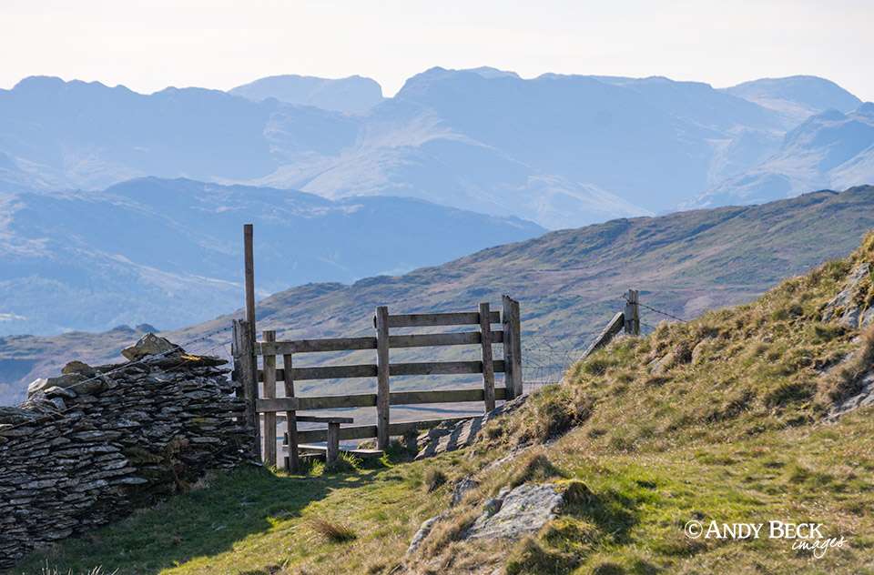
At the top of the field we crossed this stile which then took us on to a good track.
From Long Crag there is a fine view back down towards the Kentmere valley and beyond.
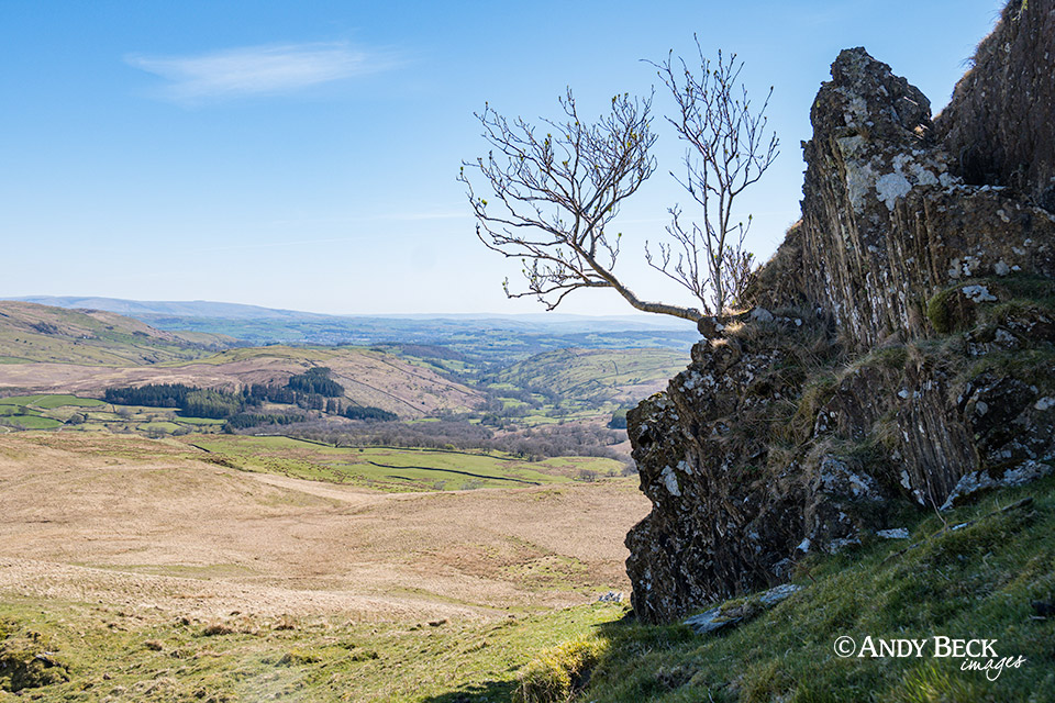
Part of the rocky outcrop of Long Crag.
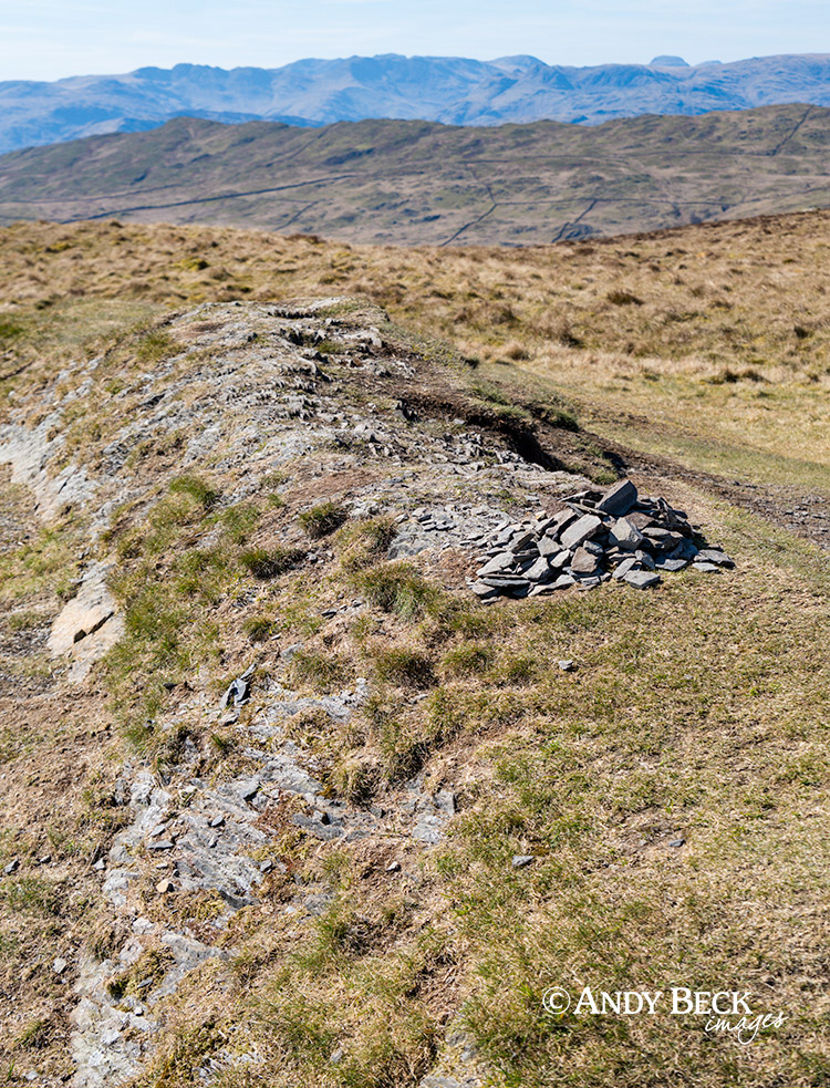
There is a line of old tumbled down grouse butts. They were marked by AW in the Pictorial Guide but now are out of use. The heather he mentions is nearly all gone.
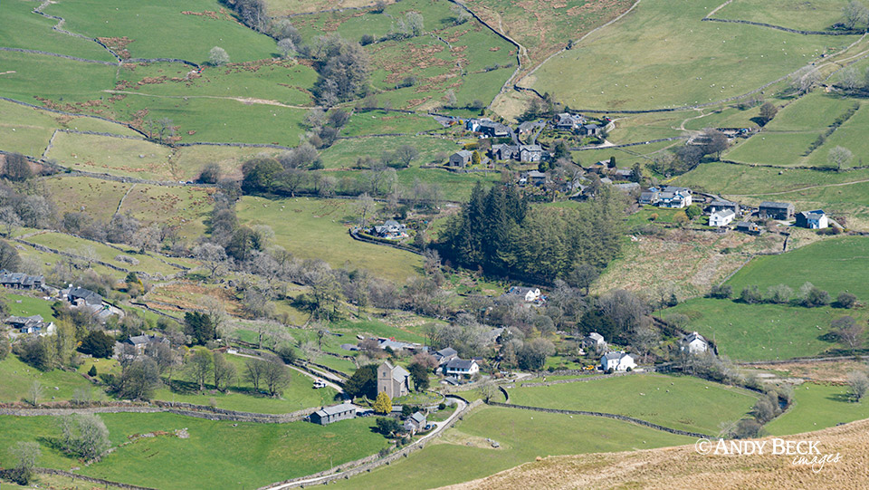
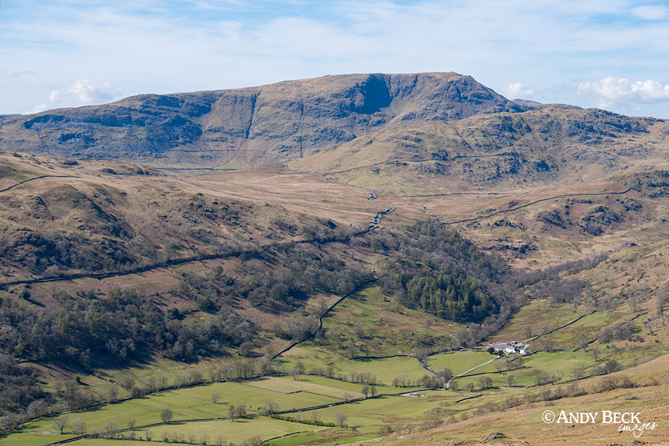
This route provides a great aerial view of Kentmere village.
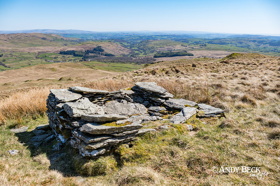
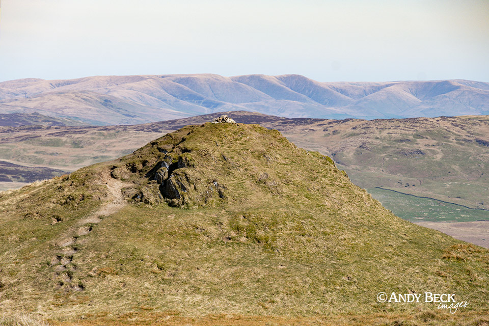
The summit of Sallows is marked but this natural ridge of rock.
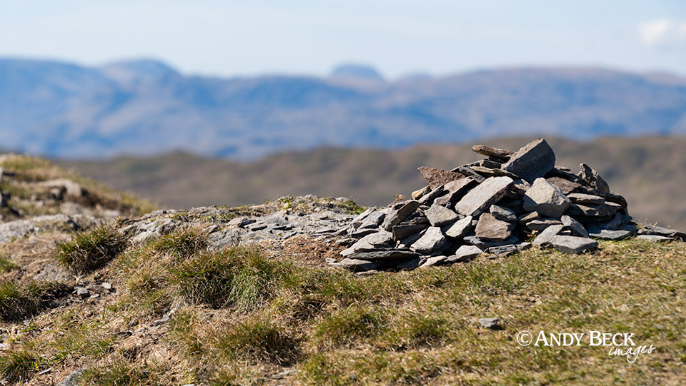
Today it was adorned by this small cairn of shale. It’s not always here.
From Sallows summit we headed west then south in the direction of Sour Howes.
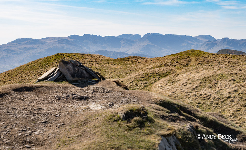
The Wainwright summit of Sour Howes. The cairn sits on top of a distinctive “peak” which is flat and eroded on the top. Again, today with a small cairn which is not alway in place.
This, the highest point of the fell, the “true summit” is about 60 west of the Wainwright top. In comparison it is not so eroded and is more of a rounded top.
There is a great view of Red Screes from here over Troutbeck Park.
The Wainwright top with the distant Howgill Fells as seen from the true summit.
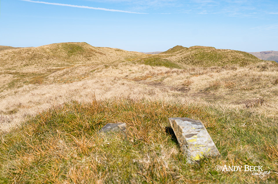
There are just two stones on this, the old trig station which gave AW the measured height of 1568′ for the Pictorial Guide. Using his 6″ scale map he also located his summit cone at this point for the chapter map. This location is some distance away from the other two tops and is at a lower elevation.
The Scafell Pikes and other high fells look impressive from here.
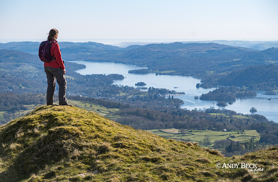
As is the view down over Windermere.
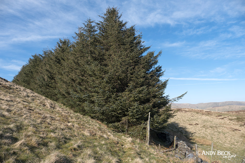
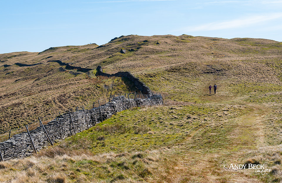
From the summits we headed south east past this plantation near Capple Howe. We descended past another line of old shooting butts to pick up the track we used earlier.
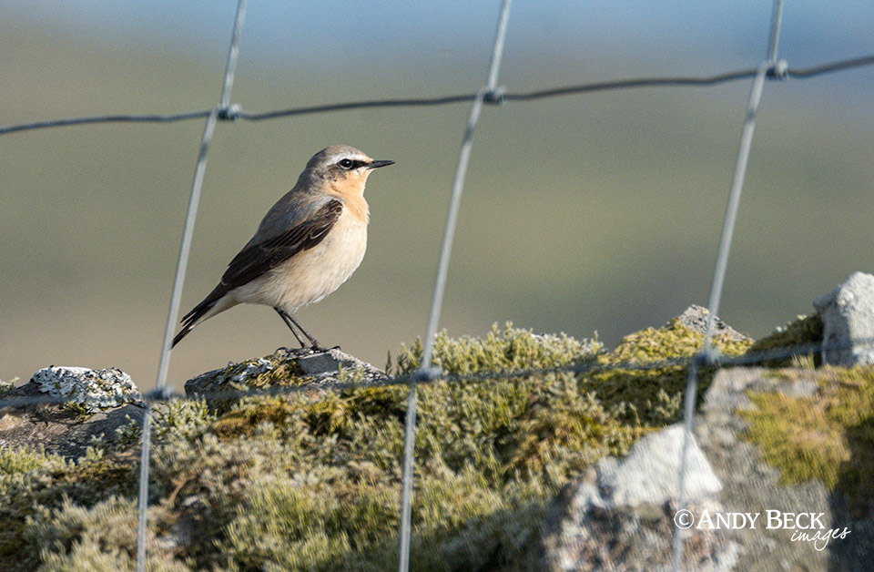
We were lucky enough to see this handsome female Wheatear sitting on the wall top.
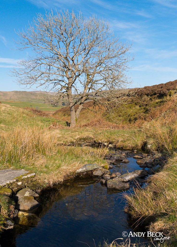
Near the bottom of the fell we crossed a small beck to reach the good track.
The sun was lower in the sky as we headed south past Mickle Moss.
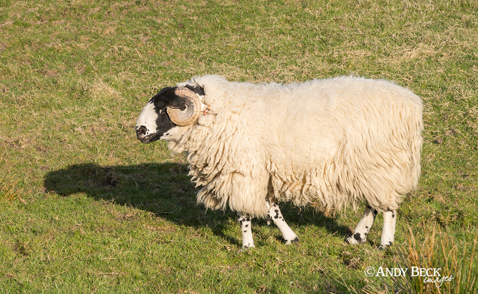
A fine looking Rough Fell Tup in the field alongside the lane.
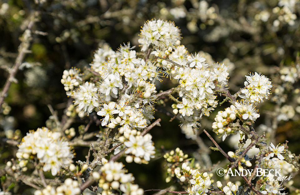
The spring blossom was now coming into full show as we reached the car back at St Anne’s Farm.
It was a fine route done on a day of glorious weather. These two fells are often done either from Kentmere or Troutbeck church but this circuit gave me a chance to explore new landscapes and pick up ideas for my Lakeland 365 project.
For more detailed information on these two fells check out the Lakeland 365 pages: Sallows and Sour Howes.
Here is the film of the day.
Thanks for watching.