Knipescar Common is one of Wainwright’s Outlying Fells and it is located just east of the village of Bampton Grange. It is one of The Lakeland 365 . This was my first visit to this low fell and I picked a rather poor day for it. However, it is an ideal location for an easy short walk with good views of the area to the west.
Date of this walk: 3/9/18
Start: small layby at GR: NY5354918050 or in Bampton Grange village.
Public transport: 111Fellrunner bus- Penrith to Burnbanks
Facilities: Food and accommodation
Walk route: Shown below. To download GPX files or other formats for this route for free click here.
Route map for Knipescar Common by Andy Beck on plotaroute.com
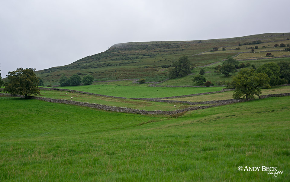
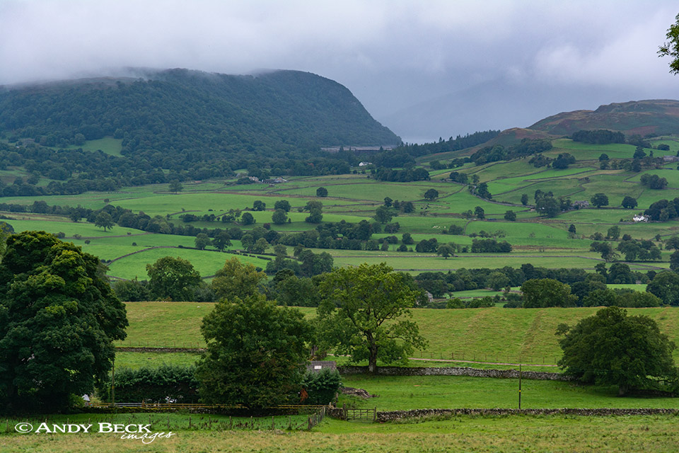
Knipescar Common as seen from the road from Bampton Grange, the “summit” is the left hand edge of this area of raised limestone.
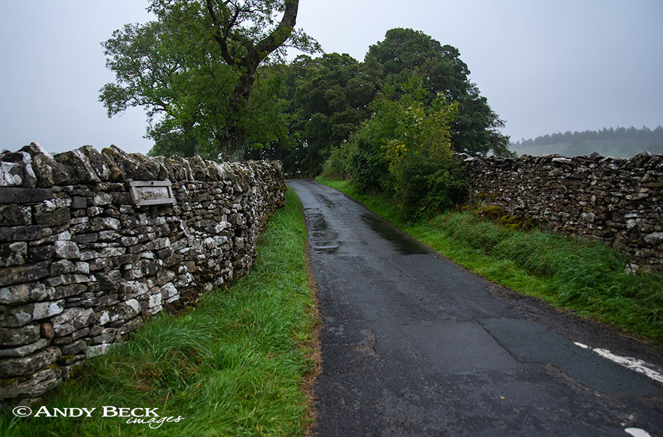
We begin the walk at the end of Scarside lane and head up towards the farm.
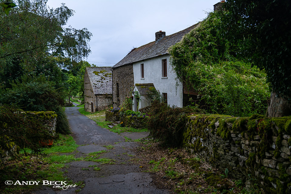
Looking back at Scarside farm back down the lane which we have just walked.
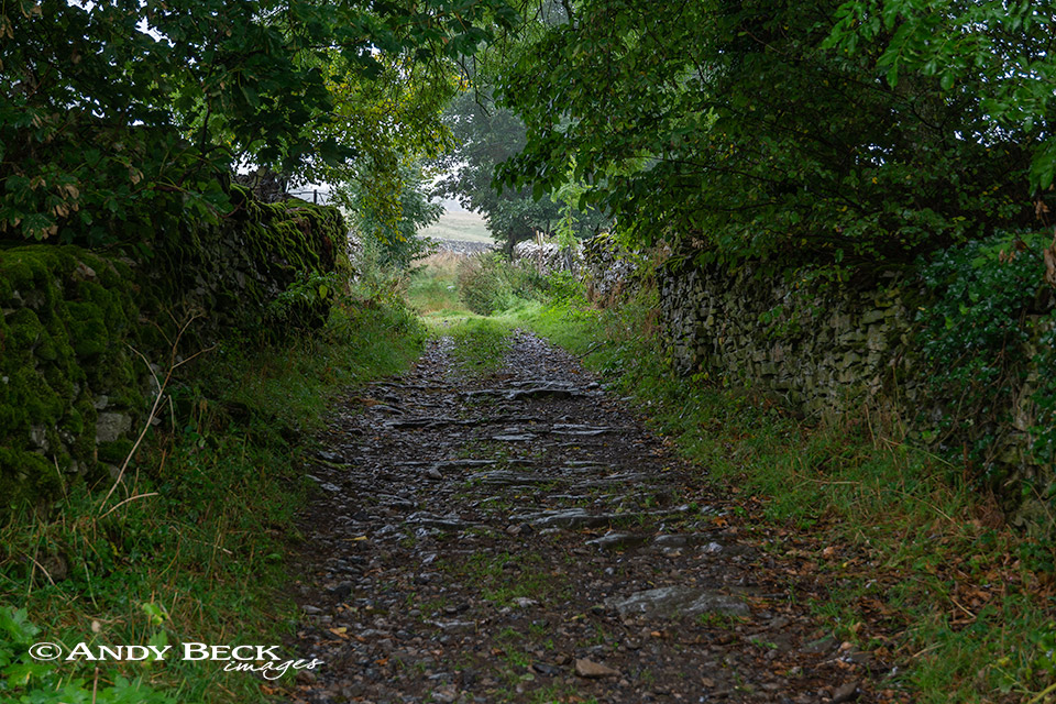
The lane now becomes enclosed and more rough but still pleasant walking.
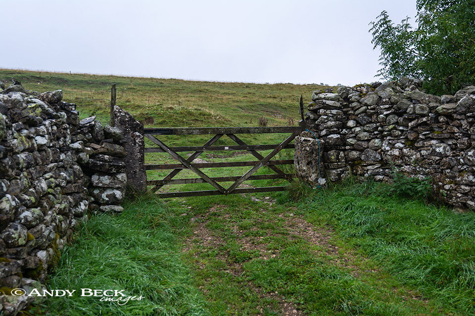
Pass through this gate to reach the common, once through you can either head up to the left in the direction of the summit or take the track to the right to visit the lime kiln shown by Wainwright in his description.
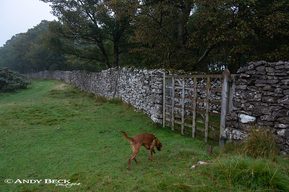
Once the height has been gained we reached this, “gate A” in the fell description, then walking alongside the high wall in the direction of the summit.
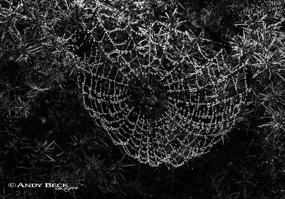
On the left is a large area of mature gorse, today it was absolutely covered with thousands of spiders webs, each bejewelled with water droplets.
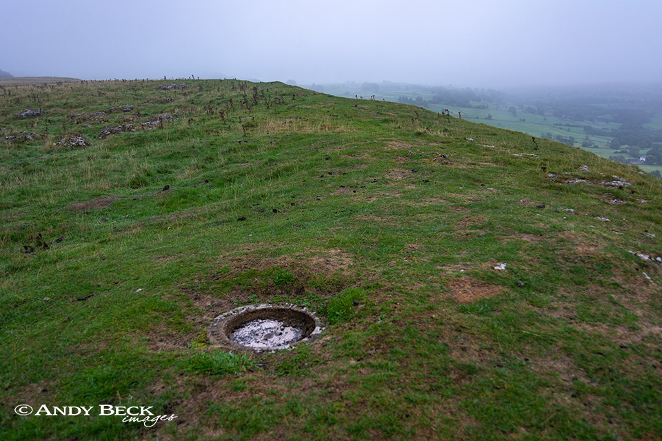
An easy stroll brings you to the OS concrete trig ring buried in the ground. This is the Wainwright summit, not the true highest point which is about 40m along the ridge in the photo.

Knipe Scar, the exposed limestone edge. The cloud lifted for a short period to reveal the valley below. On clear days the view is far more extensive.
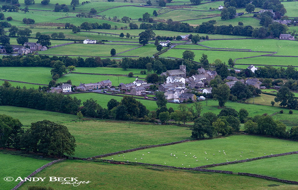
Bampton Grange from above.
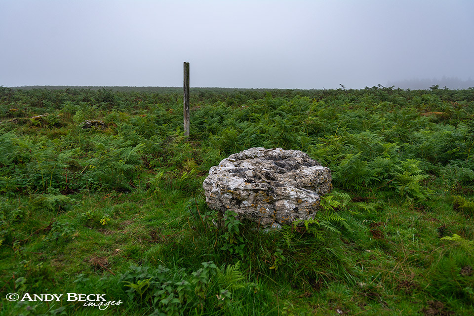
A short wander to the north-east will bring you to the area marked on the map as a stone circle. It is not easy to locate when the bracken is at full height but there is an old wooden post to mark the site. This large boulder sits in the middle of the circle and the others that make the round can be identified but they are covered with moss.
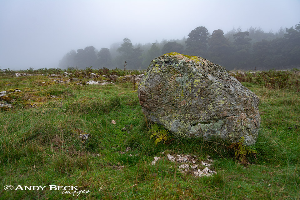
The limestone pavement here is not of high appeal for photographers or artists, this is the only decent erratic boulder.
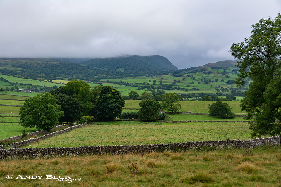
We made our way back to Scarside lane and now the cloud had cleared slightly to give us a glimpse of the entrance to Mardale.
Zooming in the Haweswater dam wall can be seen.
We retraced our outward route back past the farm down the lane to return to the start.
At only 3.5 miles and 367′ this is not a walk to sap the energy but probably better to be done later in the year when the bracken will have died back and in clear weather when the views are more extensive.