Even though I have visited the Low Fell area above Little Langdale previously as part of my reference gathering for The Wainwrights in Colour this visit was more to explore the fell on Wainwright’s original lists- Hull How as part of my new project, The Lakeland 365. The fell is only 1339′ in height but AW considered it for inclusion as part of the Pictorial Guides but it didn’t make the final cut. This was a short walk starting in Low Tilberthwaite and the areas interesting industrial history as well as the excellent views from the summit made this an enjoyable couple of hours out on the hills.
Date walked: 9/8/18
Start: car park at Low Tilberthwaite
Parking: Low Tilberthwaite (free) GR: NY30800100
Public Transport: Unknown
Facilites: Nearest in Coniston village
Walk route: Shown below. To download GPX files or other formats for this route for free click here.
Route map for Hull How From Low Tilberthwaite by Andy Beck on plotaroute.com
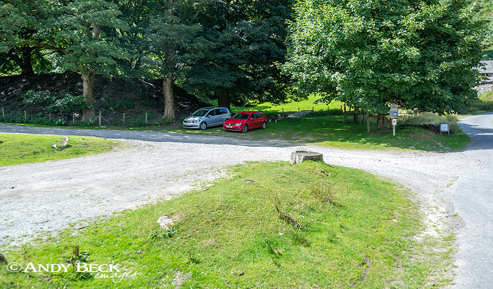
Plenty of parking spaces at Low Tilberthwaite, two separate parks either side of Yewdale Beck, both are free but there are donation boxes nearby. This is where we began our walk on this glorious summer afternoon. From here it is simply a case of following the tarmac lane north past the cottages of Low Tilberthwaite.
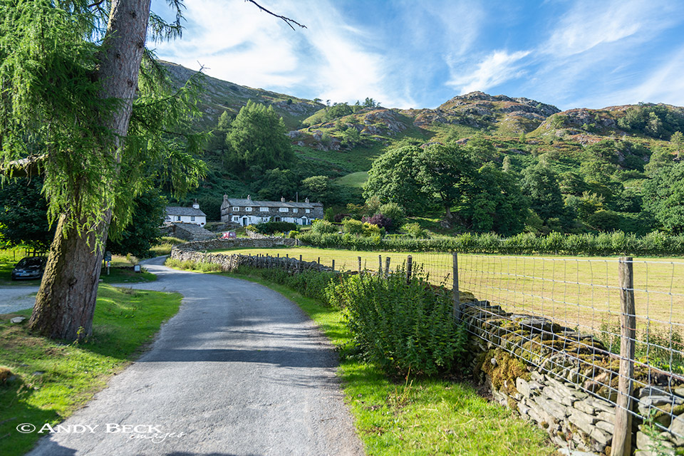
Pssing by Low Tilberthwaite we soon reach High Tilberthwaite.
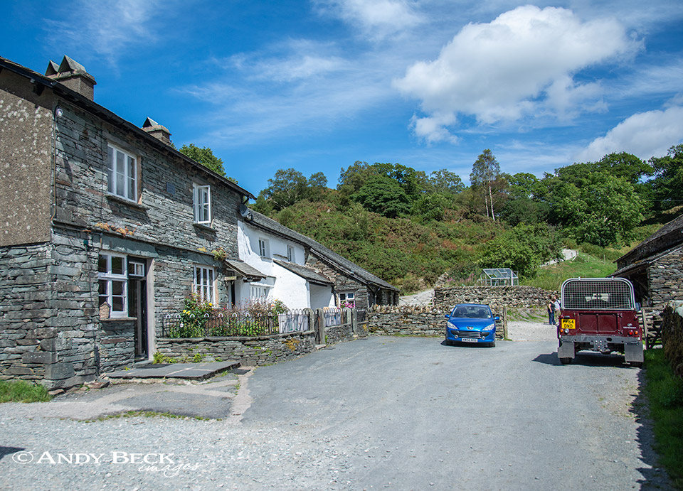
The two or three houses at the end of the lane are High Tilberthwaite, on this walk we pass through the working farm and take the rough lane that you can just see to the left of the blue car.
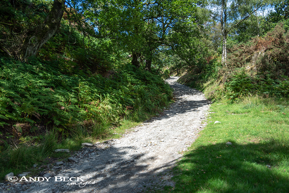
This track which would lead all the way to Little Langdale now ascends gently through a delightful woodland.
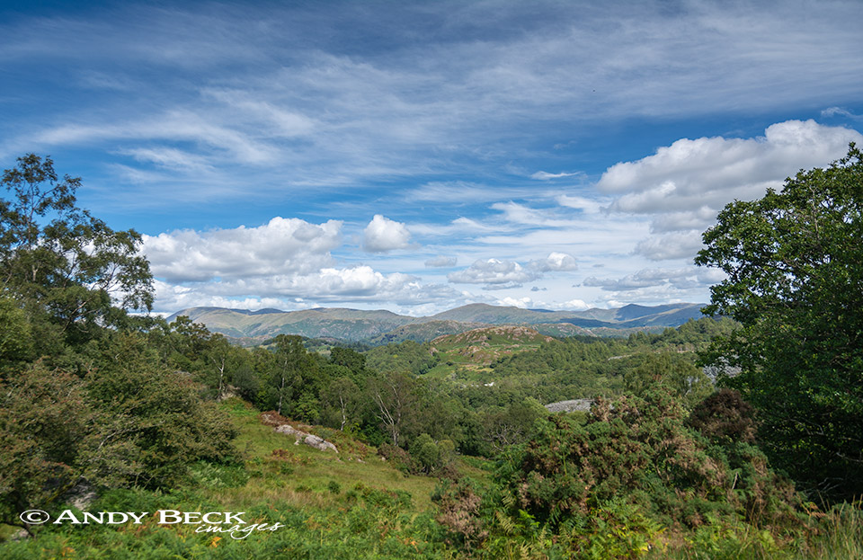
Once out of the wood the views open up to the east.
Including the distinctive Ill Bell ridge in the Far Eastern Fells.
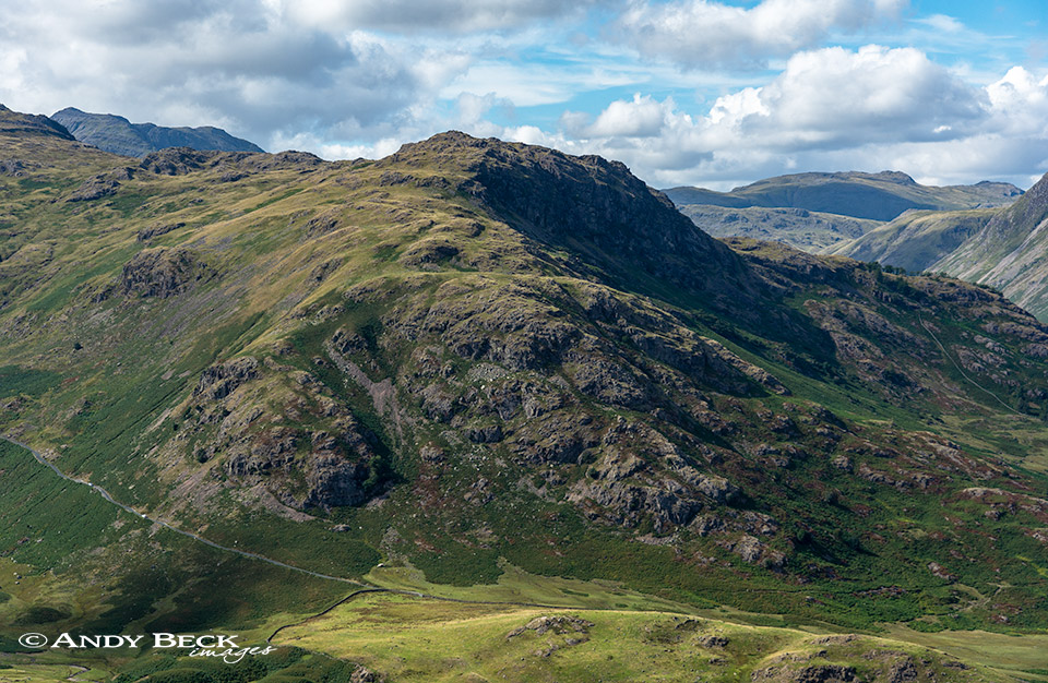
The track is firm and makes for easy walking, Low Fell being up on our left.
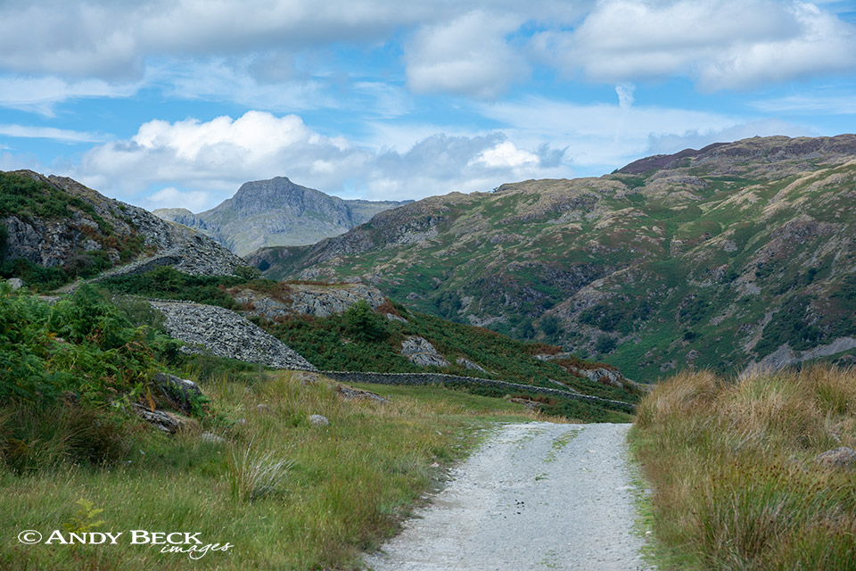
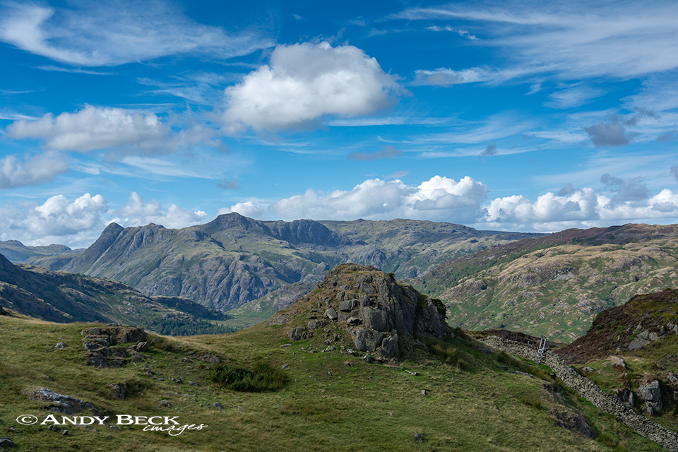
Once the highest point of the lane is reached Harrison Stickle, one of the Langdale Pikes comes boldly into view.
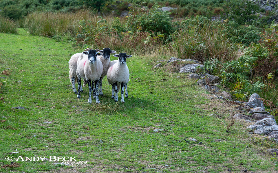
We attract the attention of a Swaledale ewe and her lambs.
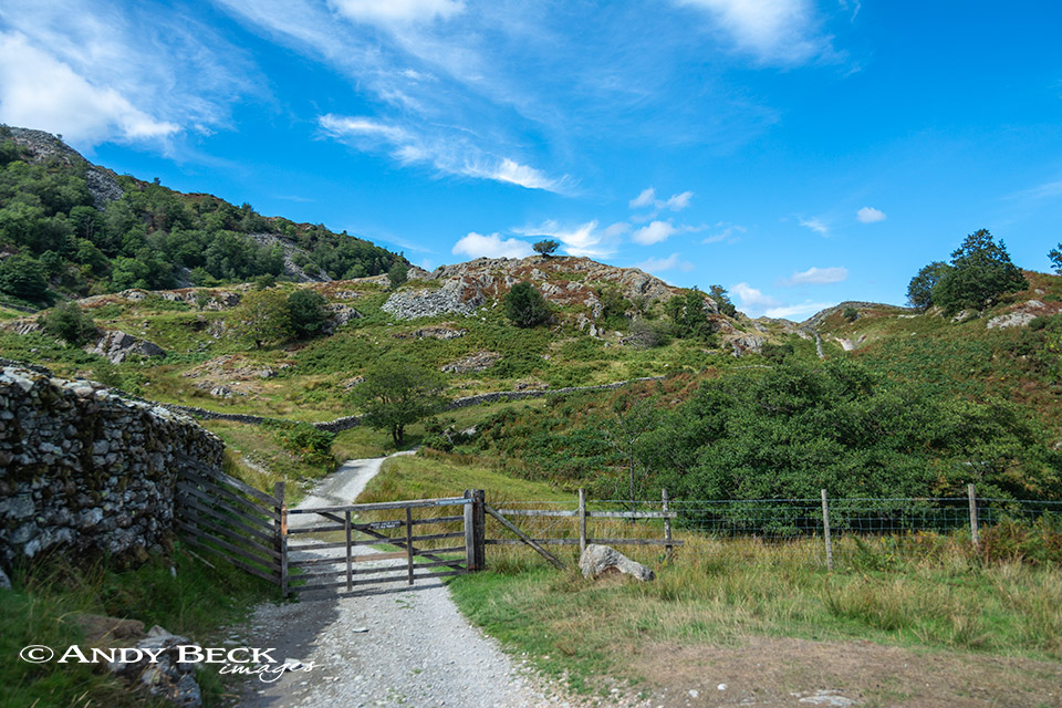
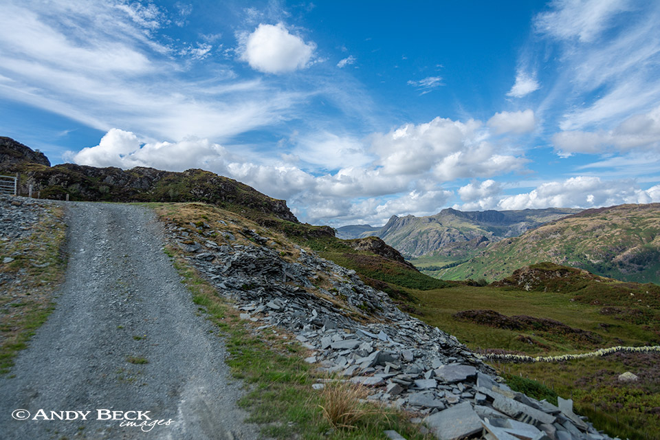
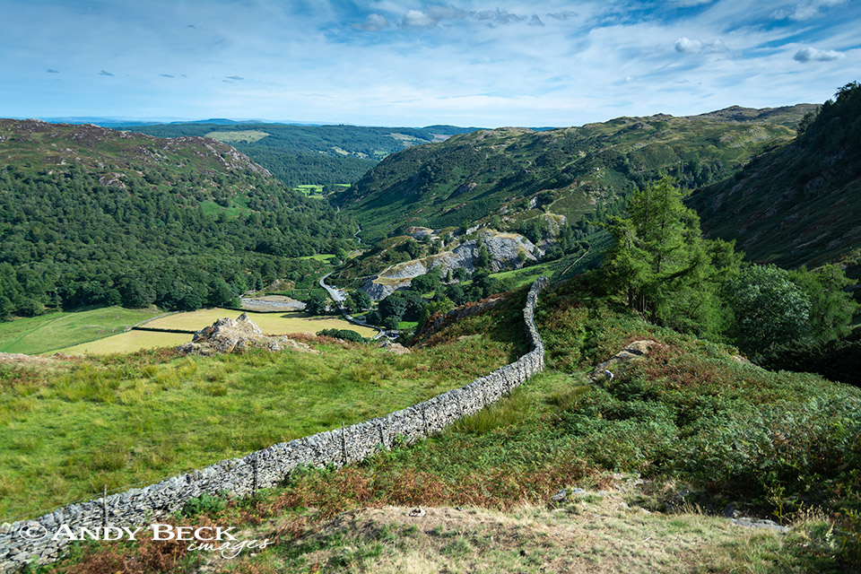
Just over the rise we take an old indistinct track off to the left which passes through a gate on the fell side and ascends on to the side of the fell on a slate base. Just by gaining this little bit of height the views come into their own.
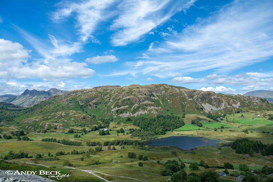
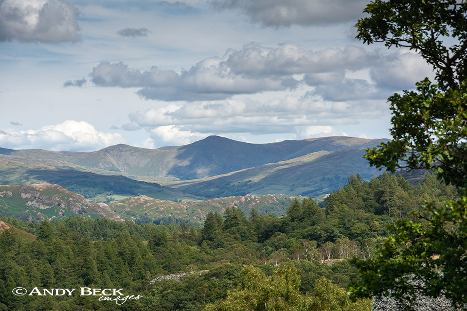
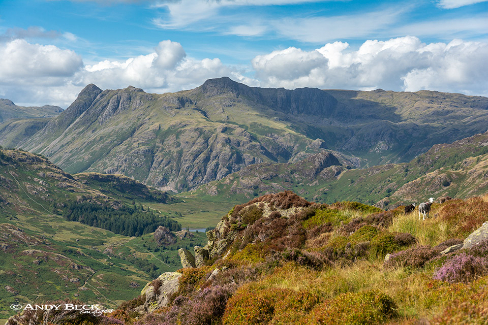
Lingmoor Fell looks totally different from this angle as it rises up behind Little Langdale Tarn.
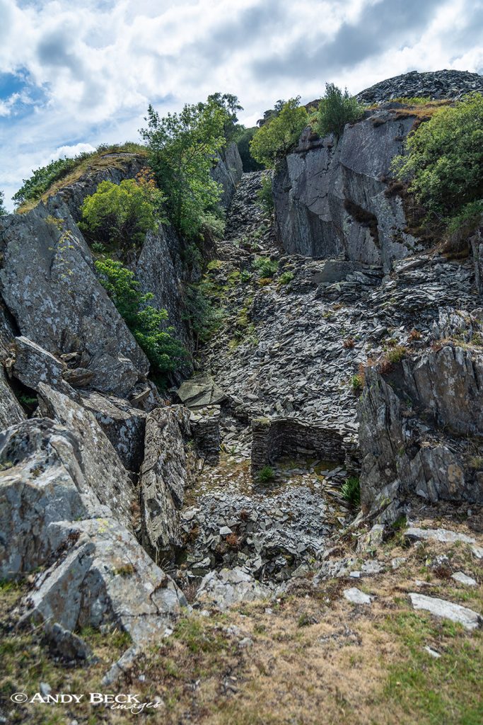
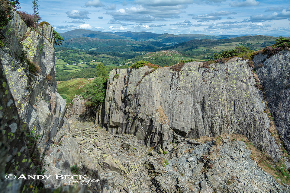
By following the old quarry track we soon reach the deep gashes in the landscape of the disused slate quarries, these vast holes are now being reclaimed by nature but you can’t help but be impressed with the skills of the quarrymen of days gone by who would have toiled for years in all weathers on this high ground.
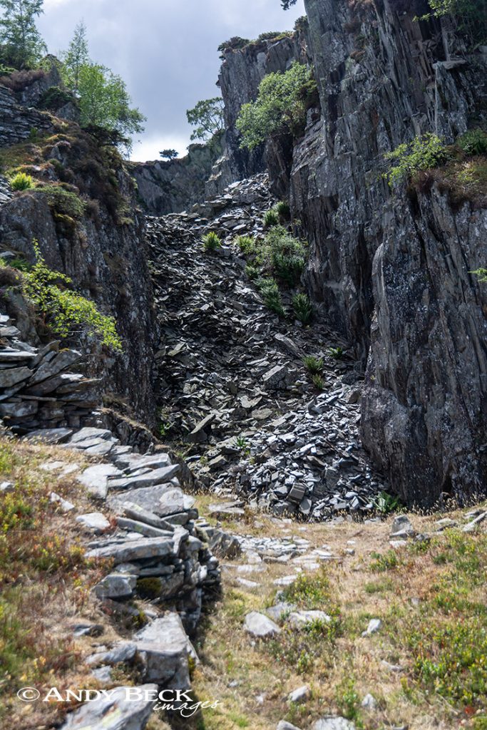
Exploring the old quarries is interesting but should be done with great care.
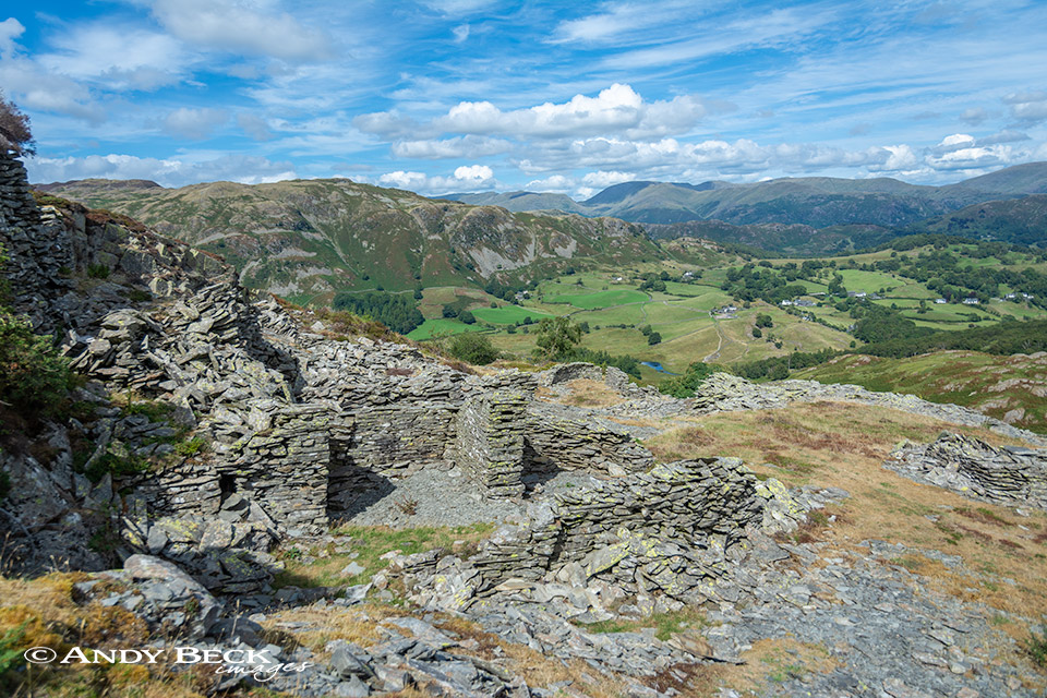
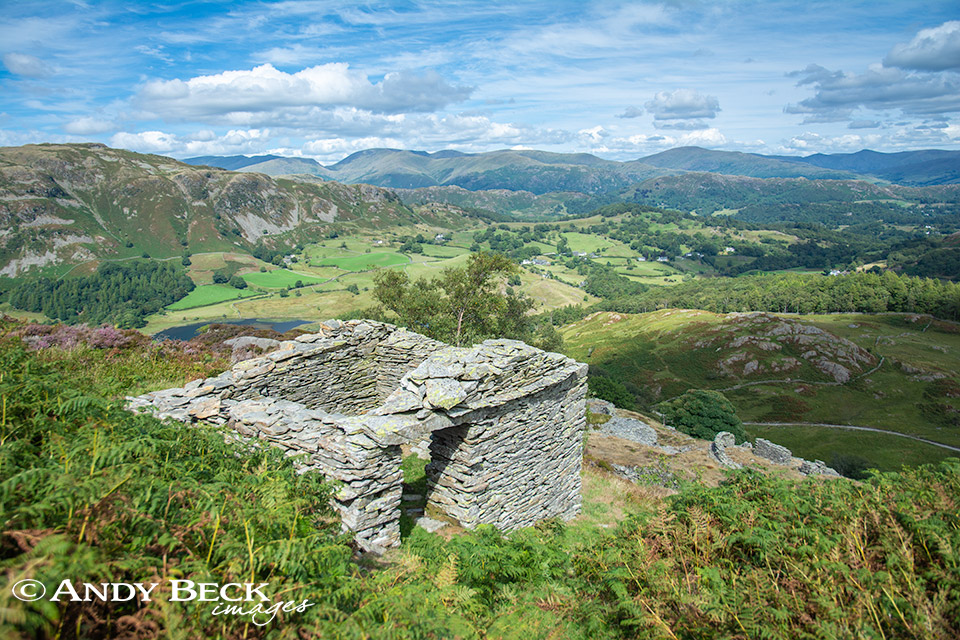
The Fairfield Horseshoe from the ruins of an old quarry hut.
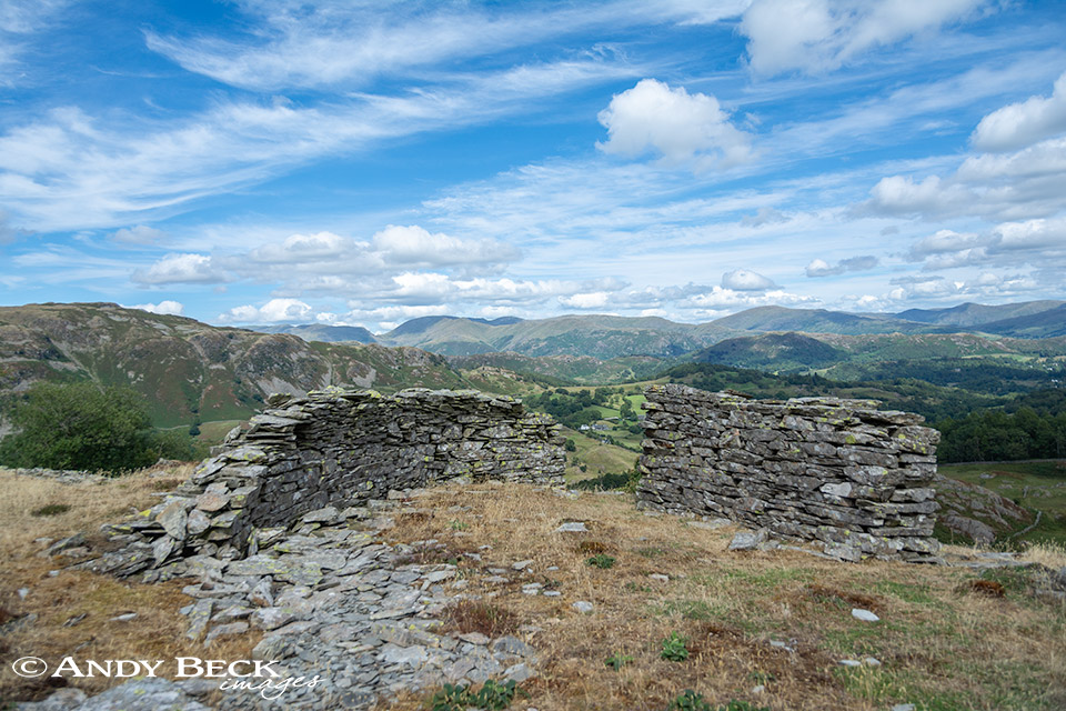
There are many old walls and huts dispersed amongst the quarries, many are almost down to ground level but many such as this are remarkably intact.
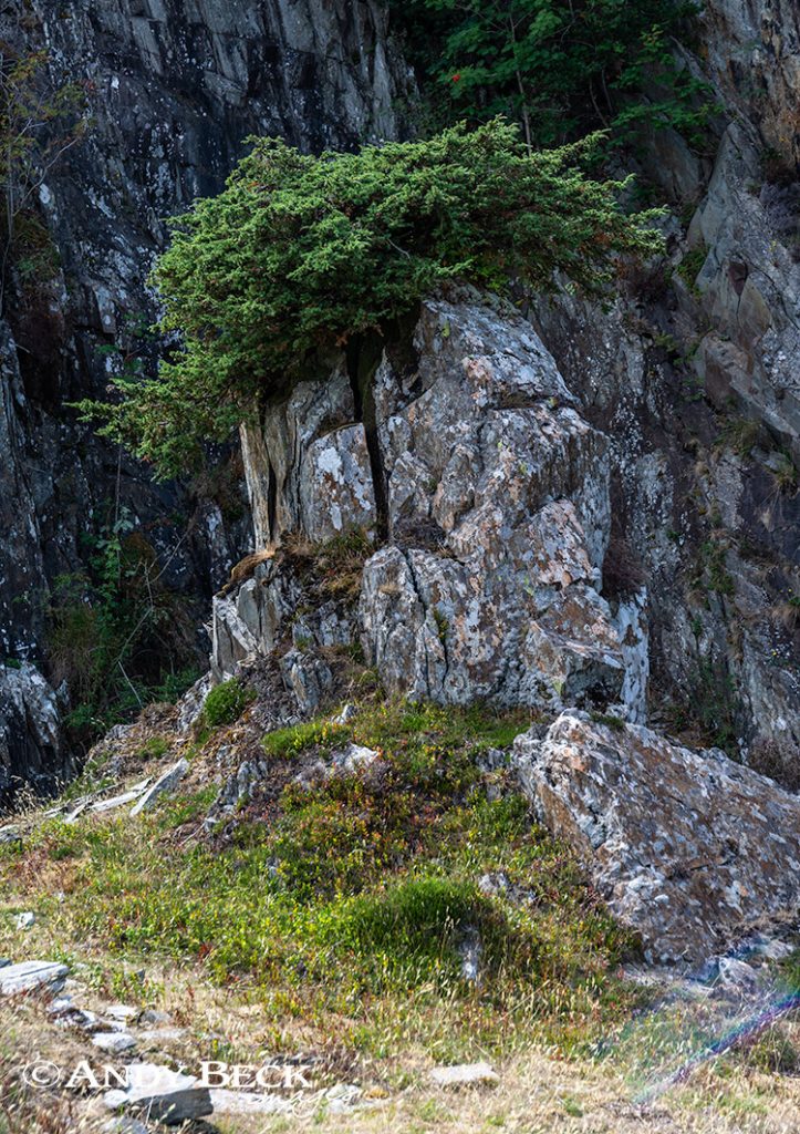
A Juniper bush has clung on to this mound of rock, remarkable how it takes up water and nutrients.
The second quarry, as impressive as the first but this one holds a secret unknown to many walkers. By carefully descending into the depths you will find at the bottom end a cave…
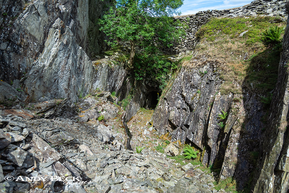
Almost hidden by a tree is a small dark cave, this is reputedly one of the hideouts of Lanty Slee and his illicit stash of goods. This was one of the locations that I had to find as part of the Wainwrights in Colour project.
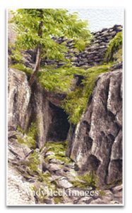
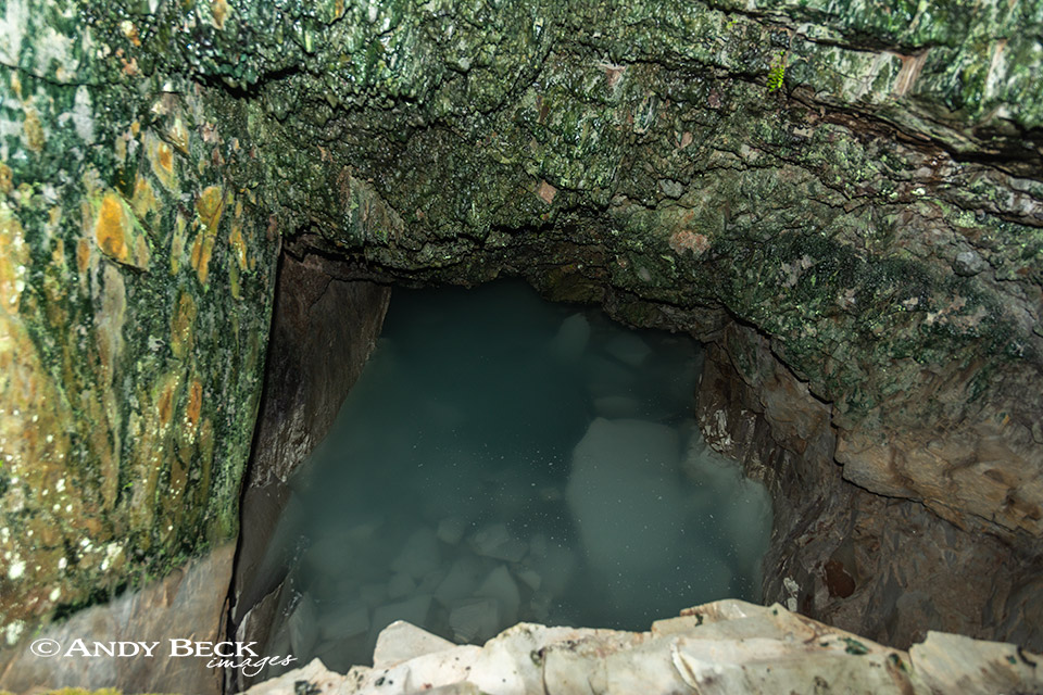
You can step a metre or two into his den but take care, the hole behind the wall is full of murky water, gone are all signs of his illegal activities.
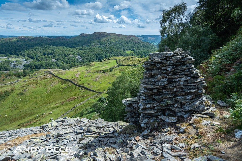
Back on the open hillside there are more slate constructions, the purpose of this pillar is unclear but it does provide a good foreground to the distant Holme Fell.
Looking down into Little Langdale
Huts such as this one look as if all they need is a roof to make them fit for purpose.

Our target for the day, Hull How from near Betsy Crag.
Another old quarry, again, hard to give a sense of scale to this cavity.
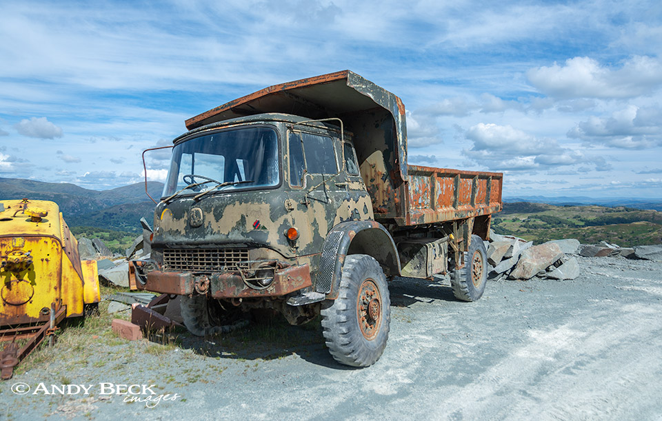
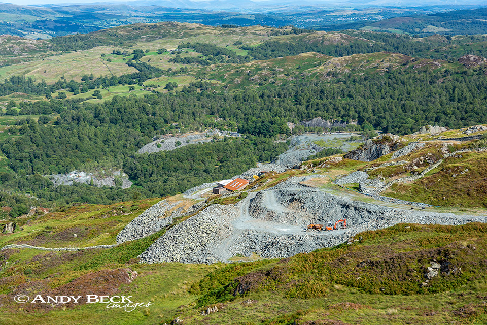
We soon reach the site of the current quarry activities, a couple of sheds surrounded by aging machinery. This old military 4 tonner has seen better days. I’ve done a fair number of miles in these trucks in my time…happy days.
After a brief chat to the father and son who operate this site we headed on up the quarry road.
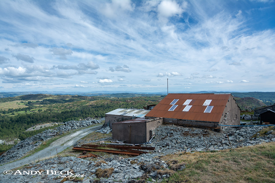
Looking back at the sheds, a grand view they have from their workshops, well on today anyway.
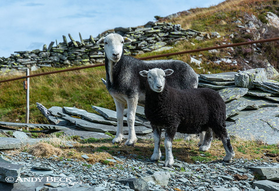
Other locals eye us up as we head up towards Hull How.
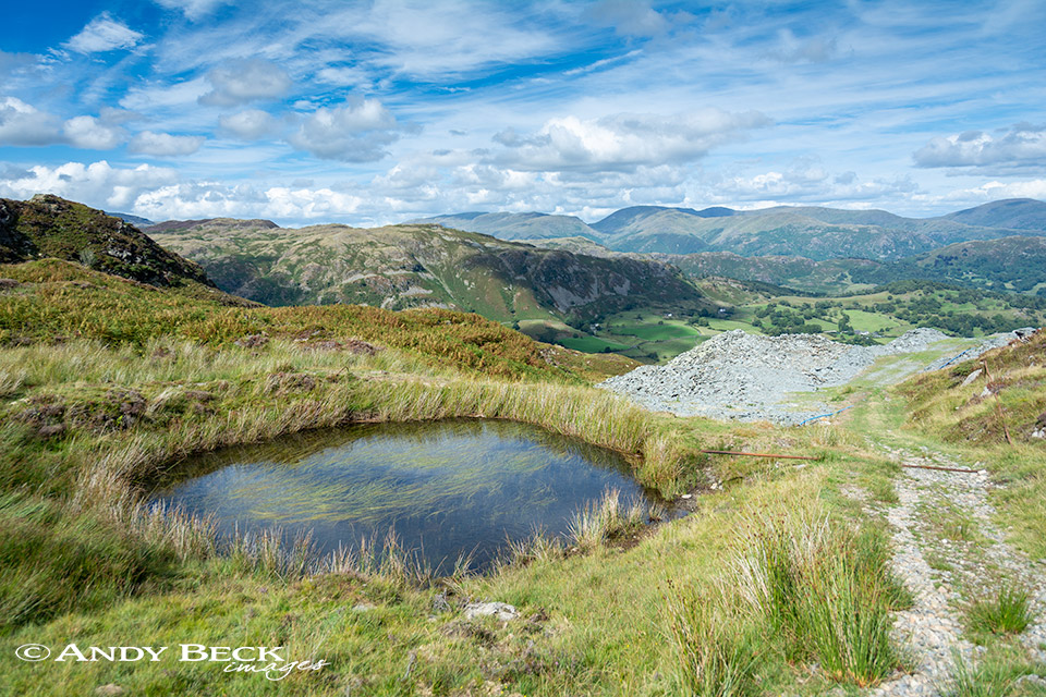
As we reach the open fell we pass this small pool, the only patch of open water that we have seen so far, this is a reservoir for the quarry.

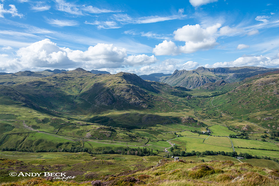
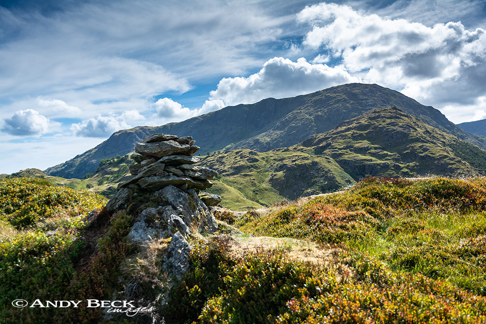
At last a good view of Hull How, a double topped summit, a mixture of rock and heather.
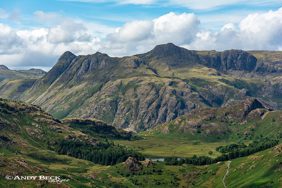
Approaching the summit an aerial view of the Pikes beyond Blea Tarn.
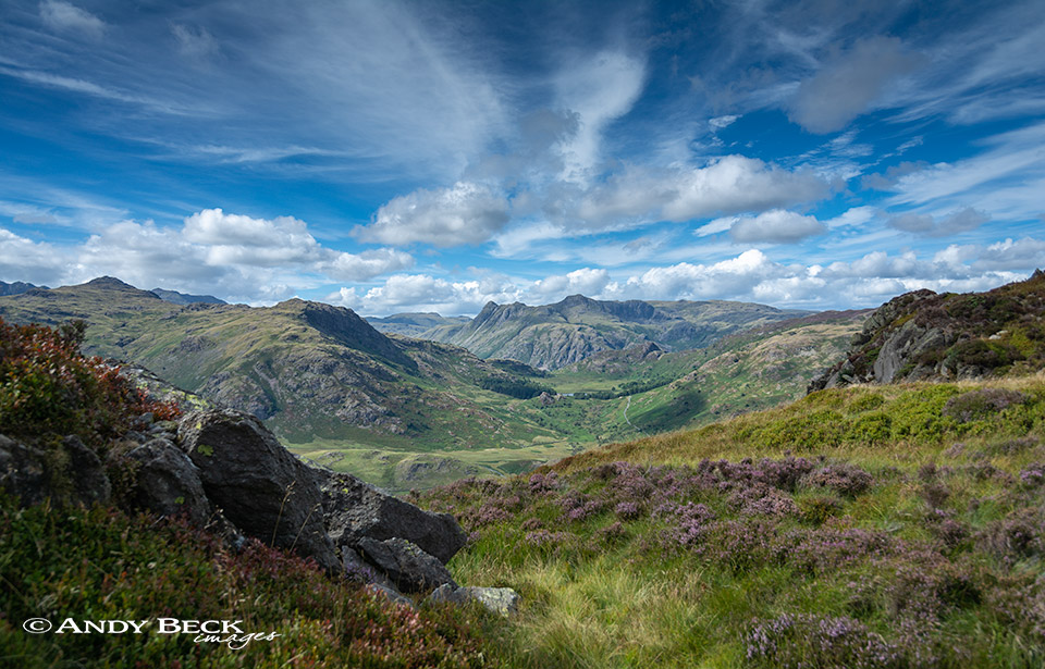
Wonderful vistas from up here which give unusual angles of fells which are so familiar.
Blake Rigg is a fell for exporation on another day. Especially as it is another of the Lakeland 365.
The colour were starting to turn but much of the heather had succumbed to the harsh heat of summer and was looking parched.
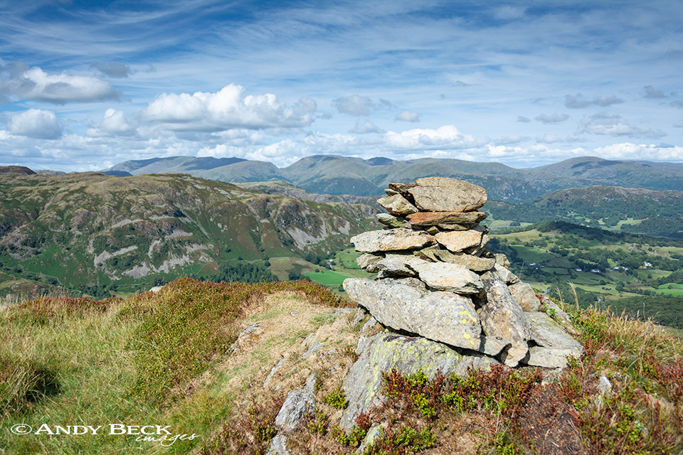
The summit of Hull How, a small neat cairn surrounded by short cropped grass.
Outstanding views in many directions, a great spot for lunch.
Looking down on the quarry where we were earlier.
Wetherlam is the dominant mountain to the south-west.
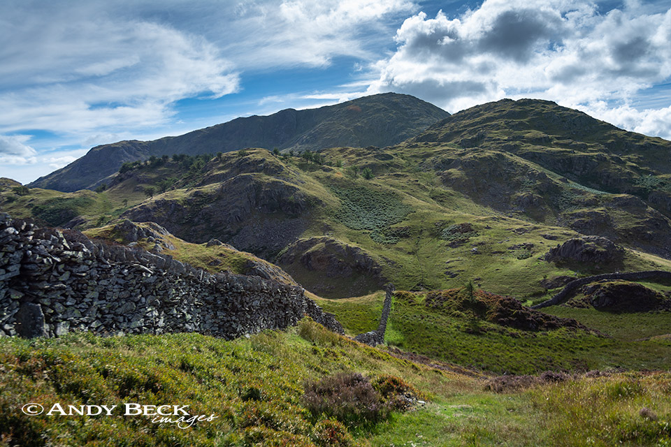
We left the summit and headed to the wall which we followed in the direction of Birk Fell and Wetherlam. It would be easy to continue onwards up to these tops but not for us today. Once we reached the wall coming in from the right we crossed it over a stile and turned left.
The stile can be seen in this shot and we were to follow the wall down to the right but we took one last look back at the view which had caught my eye for most of the afternoon.
We descended towards Low Tilberthwaite using a decent path through the bracken keeping the ghyll to our right.

Soon we were back at the cottages of Low Tilberthwaite and the car park can be seen in the trees.
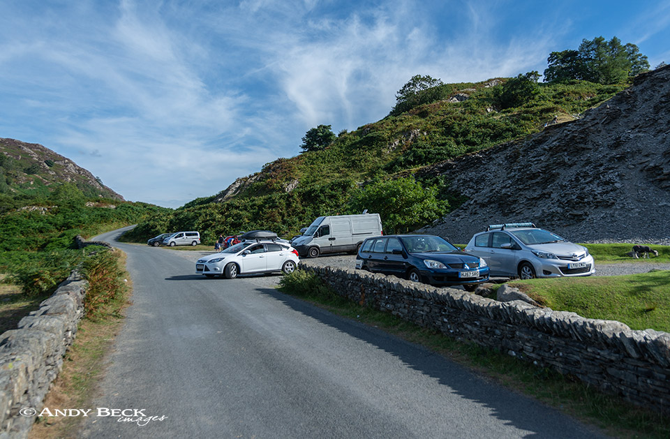
Now back at the car park, even on a mid-week in high summer there were plenty of parking spaces.
A rather pleasant walk which stays away from the busy locations but provides plenty of interest and fabulous views, highly recommended if you need a shorter walk.