A circular walk to visit Roseberry Topping, a popular hill on the northern edge of the North Yorkshire Moors National Park
On Location: 27th April 2022
Parking: A pay and display car park on the A173 just south of the village of Newton Under Roseberry. What Three Words: ///contain.gratuity.journey.
Summary: Due to it’s close location to the urban spread of Middlesbrough, Roseberry Topping is a popular location for a walk. From the car park a simple “there and back” route can be done but I decided to make this into a more interesting circular route. At only 320m Roseberry Topping isn’t a major hill but it does provide extensive views of the surrounding area.
Route map: click on the arrow to play the route. GPX route available by clicking in the Plotaroute.com link at the bottom right.
The weather wasn’t great for taking photographs but here is a taster of images of the walk.
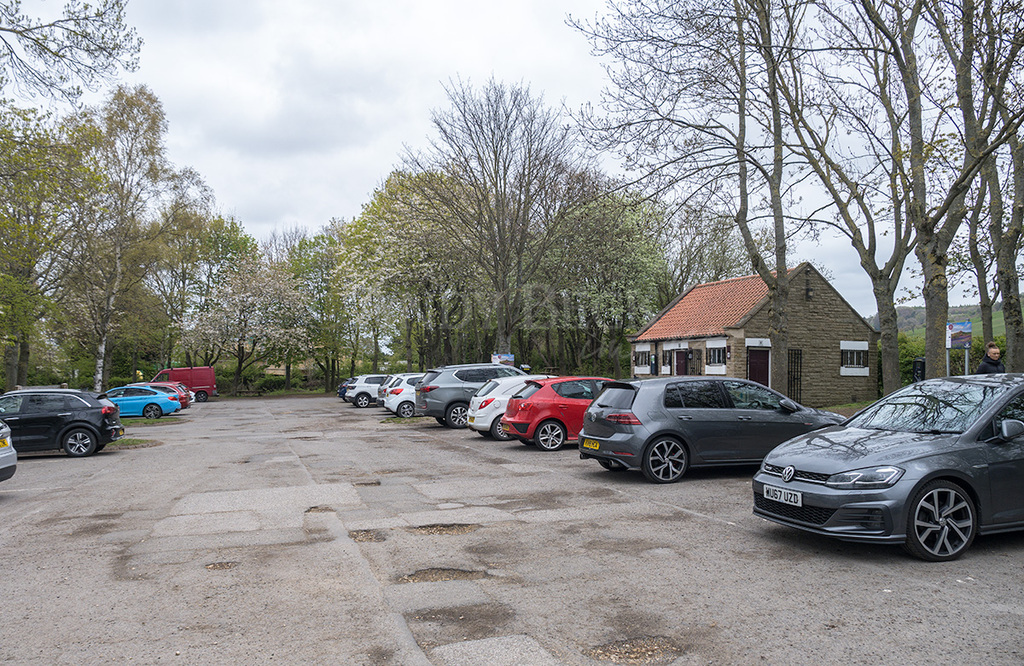
The pay and display car park close to Newton under Roseberry. Toilet facilities as well.
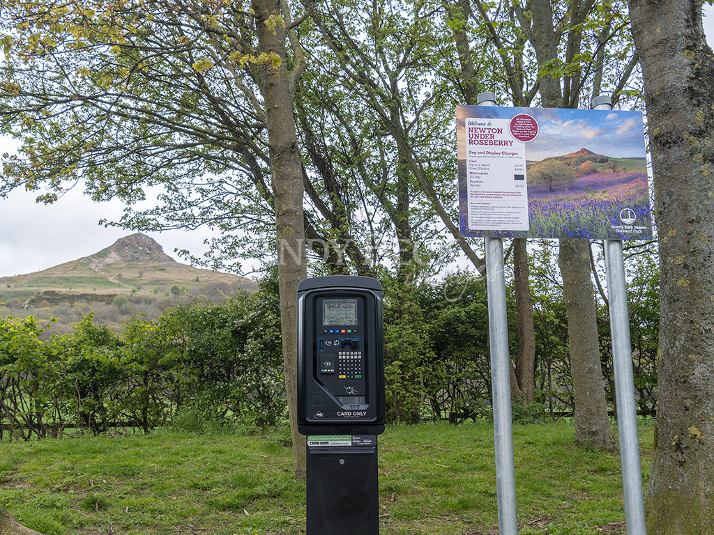
Don’t forget to buy a car park ticket before you head off for your walk.
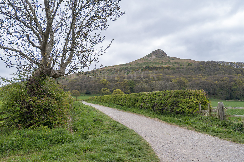
Roseberry Lane with Roseberry Topping ahead.
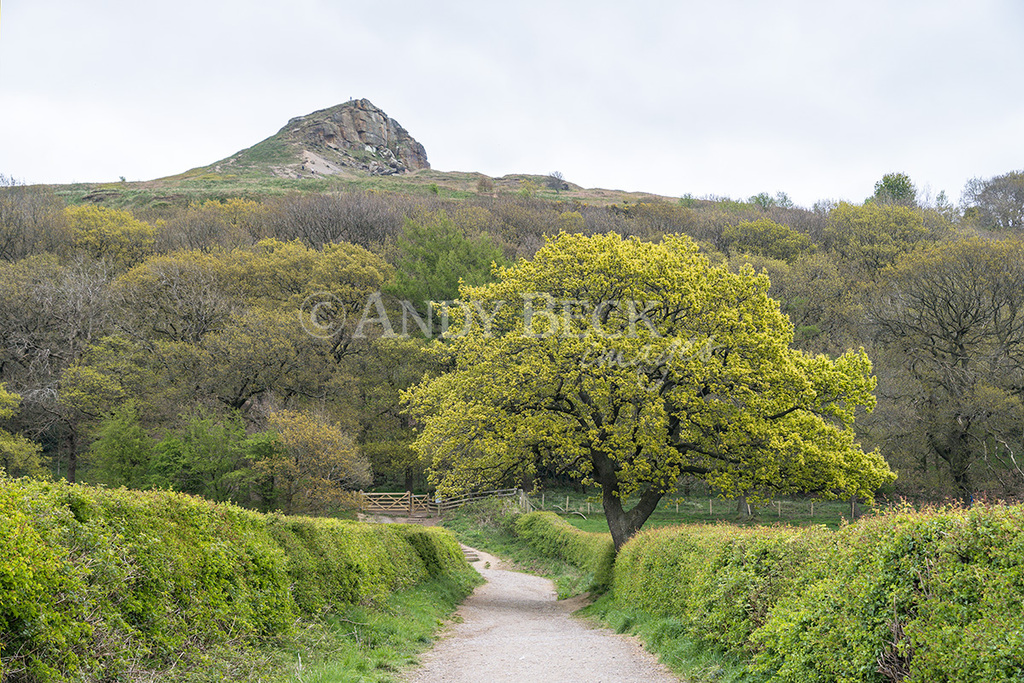
Trees and hedgerows bursting with spring growth. At the gate ahead we turn right through Newton Wood. You can of course go straight ahead to the summit.
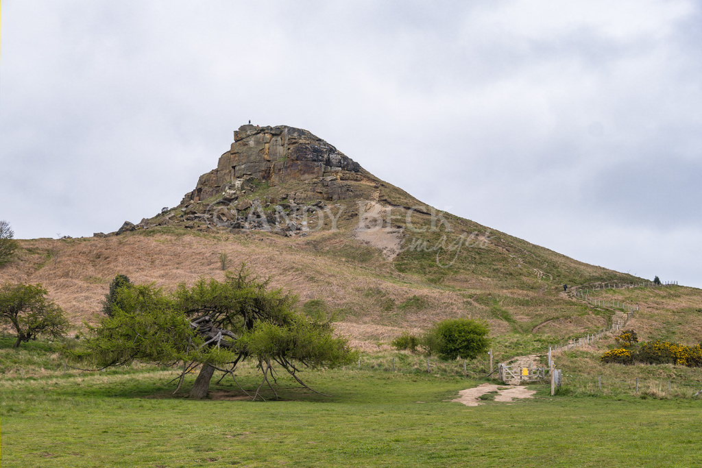
On leaving Newton Wood there is a great view of the craggy face of the hill.
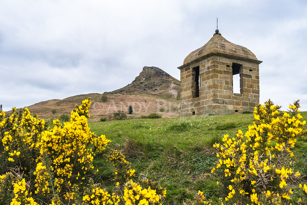
The Shooting Box, a late 18th century structure built for a Captain Wilson. Used as a shelter for shooting parties. It is Grade II listed.
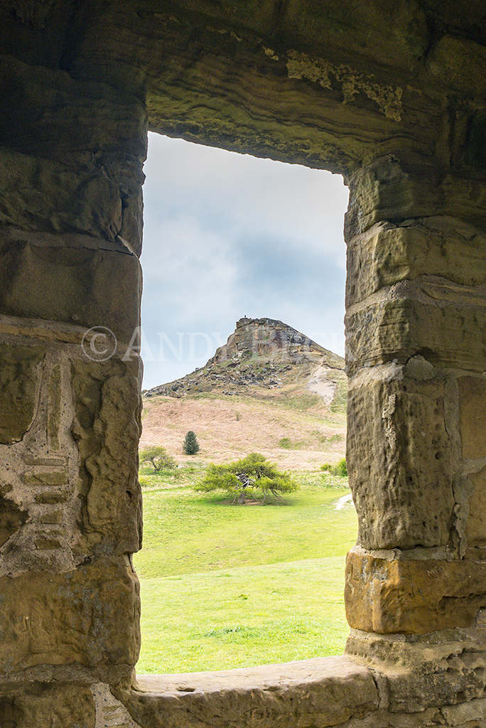
The view from one of the shooting box windows. Other views are over the Tees valley.
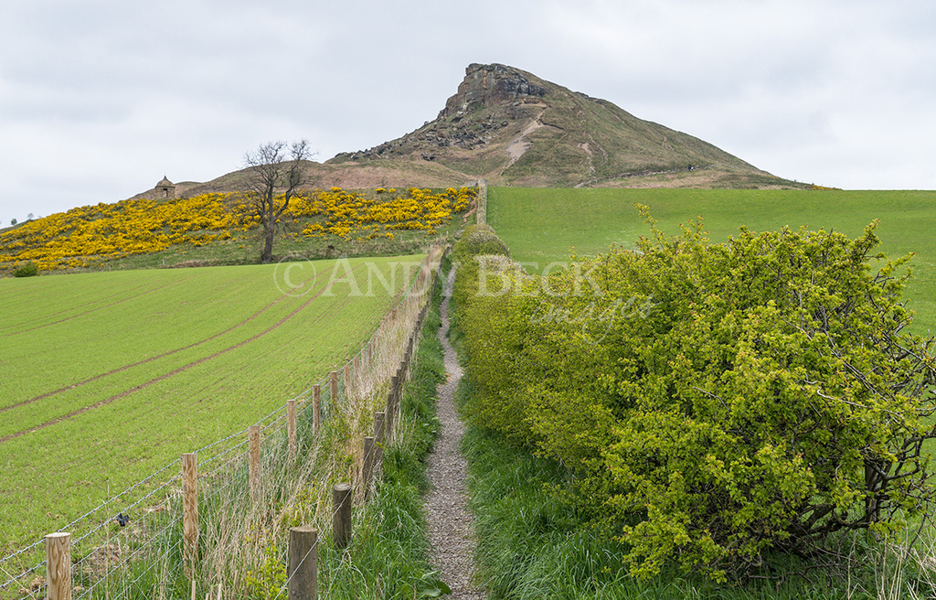
Taking the enclosed footpath that heads away from the hill.
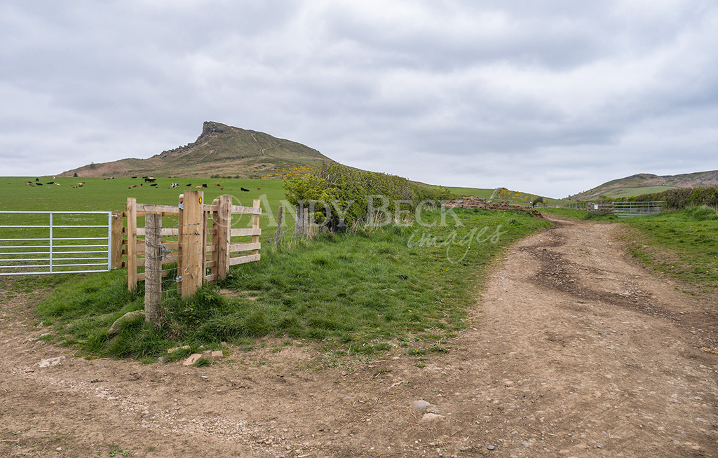
Once past Aireyholme Farm we take the good track that heads back towards Roseberry Topping. This was the former tramway from Roseberry quarry. Iron Stone was taken from here down to the industrial heartland of Teesside to be processed.
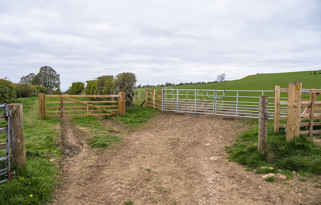
The tramway continued down this lane.
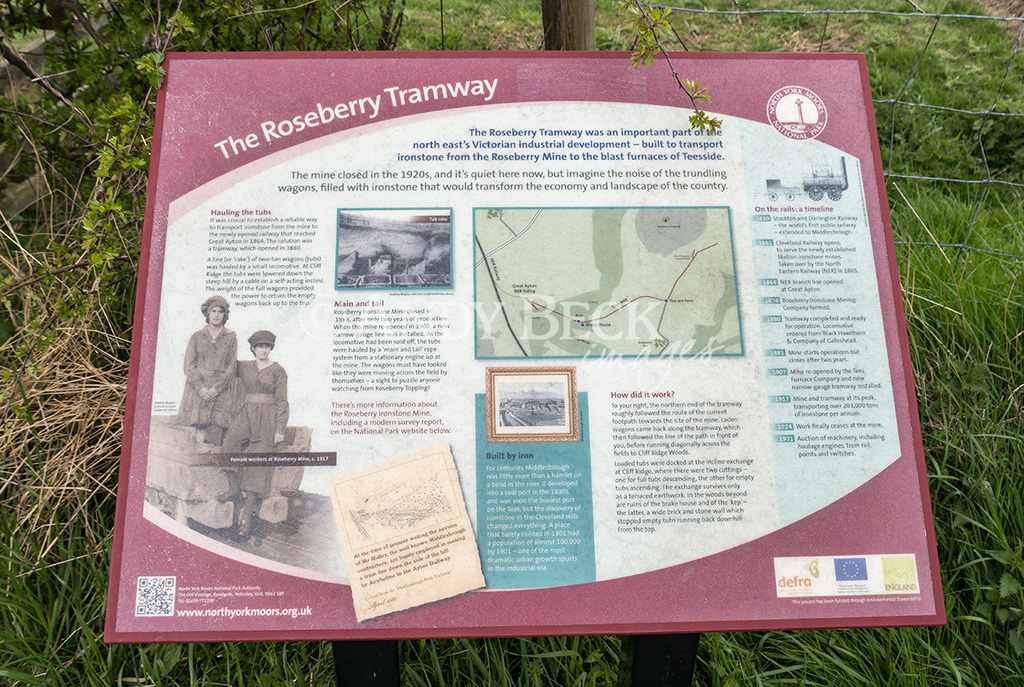
An information board which explains about the quarrying activities of the area which ceased in the 1920’s.
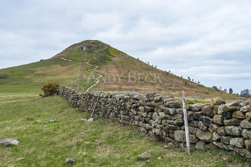
At the top of the track we turn left to head up the zig-zag path to the summit.
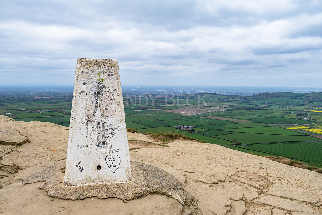
The O.S. trig column at the summit of Roseberry Topping.
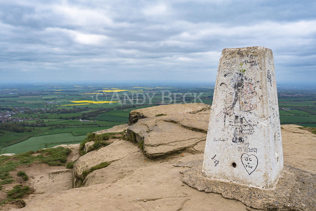
Impressive views from the top, looking north towards the Tees Valley.
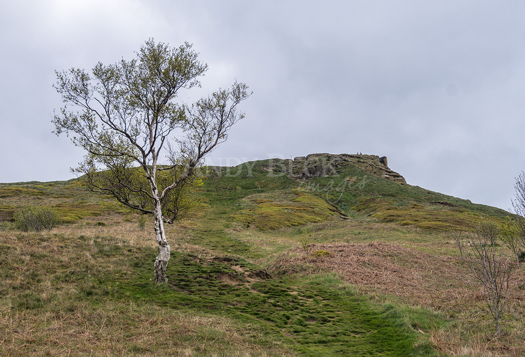
Our route of descent on a steep grassy sloping footpath.

The route now takes us down through Brant Gate Wood, back to Roseberry Lane and from there back to the car park. Not a difficult or long route but very pleasant. Check out the film on You Tube.
I hope that you enjoyed following this route. If you have done it, or a similar version then why not leave a comment below, I’d love to hear about your walk.
Thanks for watching.

