Date: 13th October 2015
Parking: Limited car parking available at Kentmere church (honesty box) GR 456042
Fells on this route: Yoke, Ill Bell, Froswick, Thornthwaite Crag.
Route map: click on the arrow to play the route. GPX route available with other formats for free by clicking in the Plotaroute.com link at the bottom right.
It was with some frustration that whilst completing the Wainwrights in Colour sketches for the fell Yoke last weekend that I realised that the reference photograph for the view of Rainsborrow Crag (Yoke 10) was totally wrong. How I made this basic error can perhaps only be explained in the fact that the view from near the cottages was similar and I had convinced myself at the time that for some reason Wainwright had omitted the buildings in the foreground. This is the first time in the whole project that I had made such a mistake and as I near the completion of all the fells I needed to obtain the correct reference as soon as possible.
As it happens, I had always had a plan to ascend Yoke by its narrow edge above Rainsborrow Crag, an unfrequented route but one that I knew offers some excitement on its steep spine. This route would also fit in with my plan to climb fells by routes with which I am unfamiliar (all part of a future project which is forming in my head). So it was on Tuesday that I drove over to Kentmere with the main aim of getting the correct reference and then pulling myself up onto this new terrain. The car park at Kentmere church was deserted when I arrived, but then it was just after 6.30am and the valley was just stirring. With boots and rucksack on we left the car at 7 in the half light with the intention of perhaps catching the first sun further up into the valley.
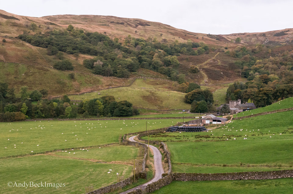
Sallows and Kentmere Hall in the early morning light.
The lane from Kentmere Church to Hartrigg Farm is a delight, gentle walking in impressive surroundings.
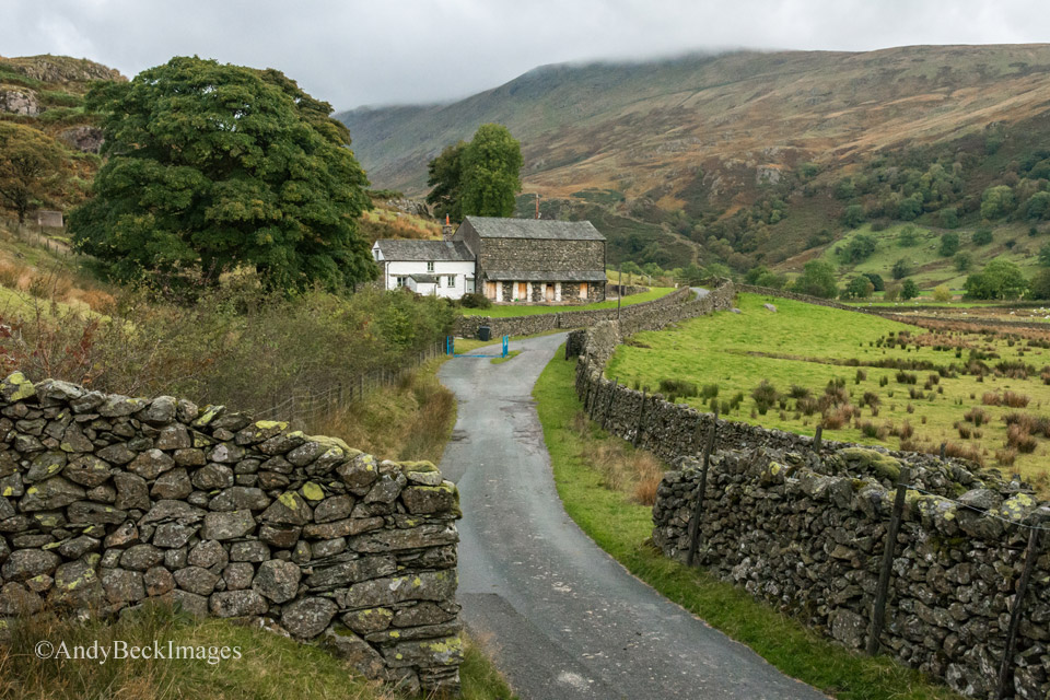
We continued along this good lane.
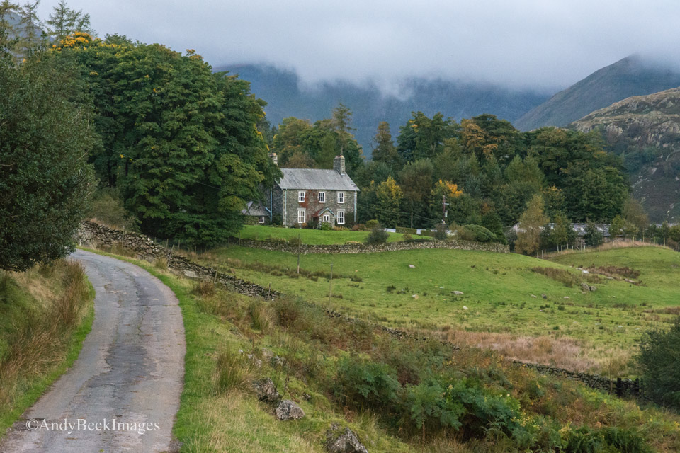
Hartrigg Farmhouse in the Kentmere valley
Passing by the farm the lane continues, now a little rougher underfoot but still a pleasure to walk on. Not far past the buildings the valley opens up before you.
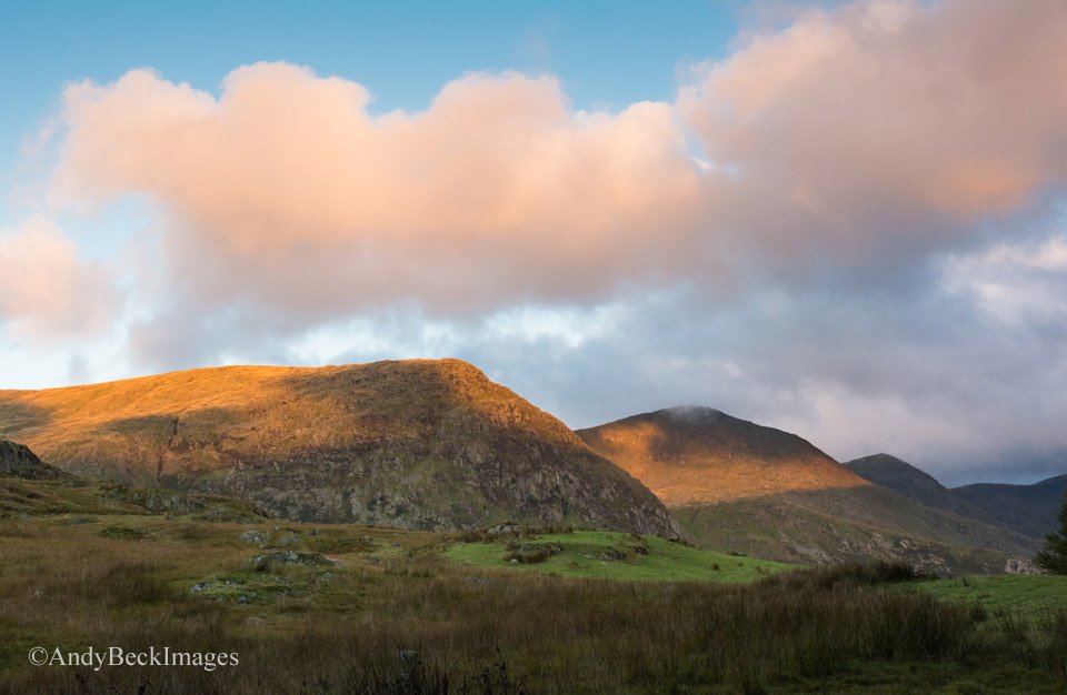
The weather was just as forecast, with the sun breaking through patches of cloud, some of which capped the fells to the east side of the valley.
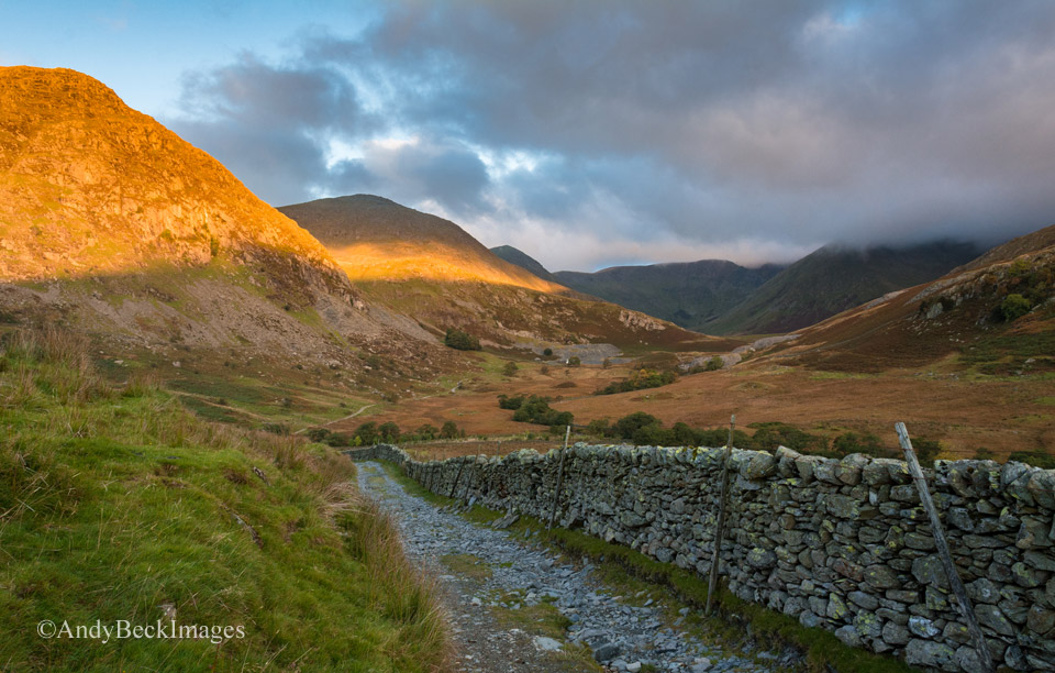
With almost perfect timing the shafts of light illuminated the fell sides to my left. As I stood capturing the scene the only sounds that broke the silence were the far off bellows of the rutting Red Deer stags, a sound which I was to hear throughout the day.
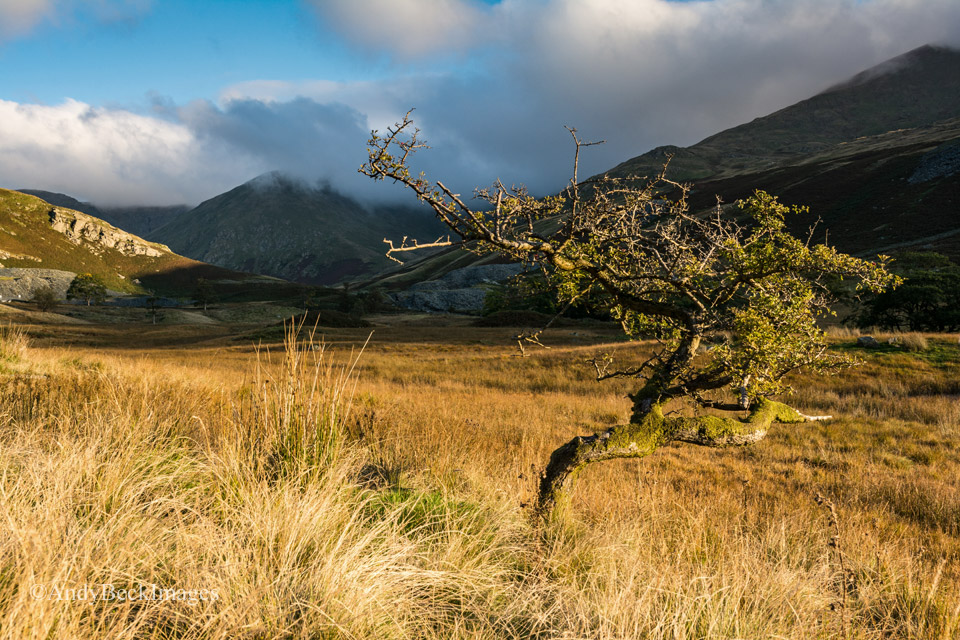
There was some lovely light as we headed further up the valley
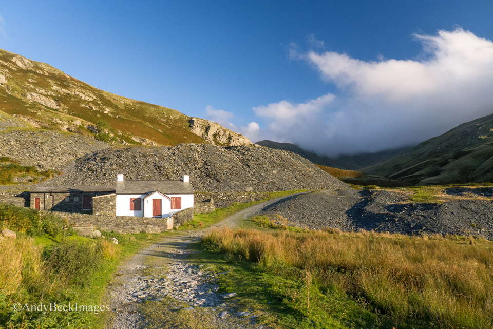
Soon we reached the old quarry cottages. In recent years these have been converted to accommodation which is available for group hire. More info here
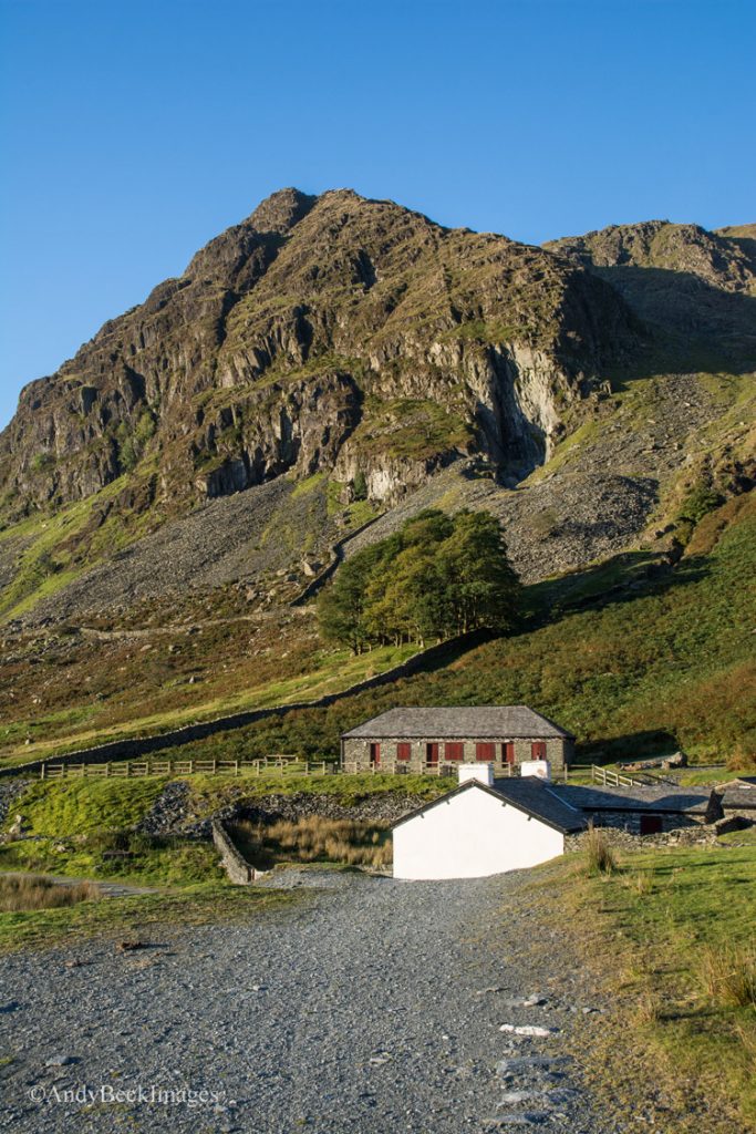
This was the view that had captivated me on one of my previous visits and the one which I had convinced myself was the correct scene for my sketch. I now realised that I was about 200 yards off target so I continued along the track until the cottages were out of sight behind the quarry tips.

This was the actual view that I was after, virtually unchanged since Wainwright’s day. He exaggerated the scene in his drawing (Yoke 10) but I will discuss this on another blog post. My plan of getting to this point so early in the morning was so that the sun would light up the face of the crag and cast a shadow into the cove and as you can see, my plan paid off. This is one of the factors which I had to take into consideration when obtaining references for the Wainwrights in Colour. From here I took the old track under the rocks on the right, past the quarry and then up towards the cove.
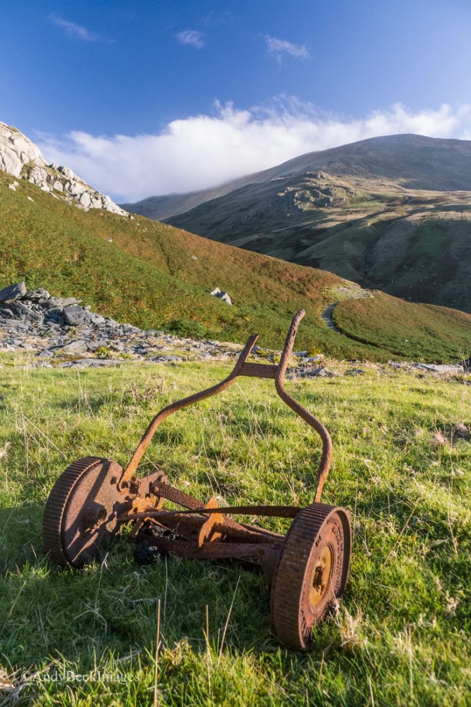
On occasions I have come across some odd artifacts on the fells but this may be the first time for an old push lawn mower.
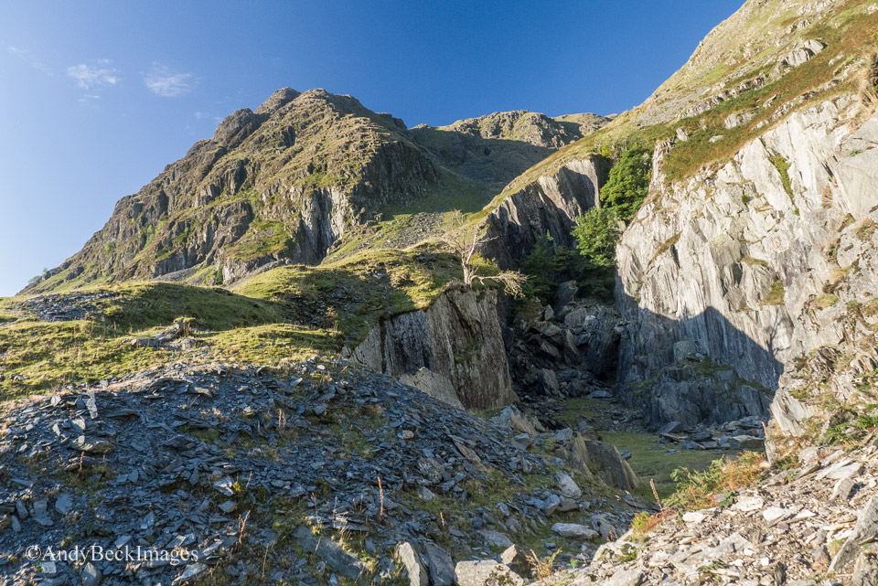
The old slate quarry, Rainsborrow
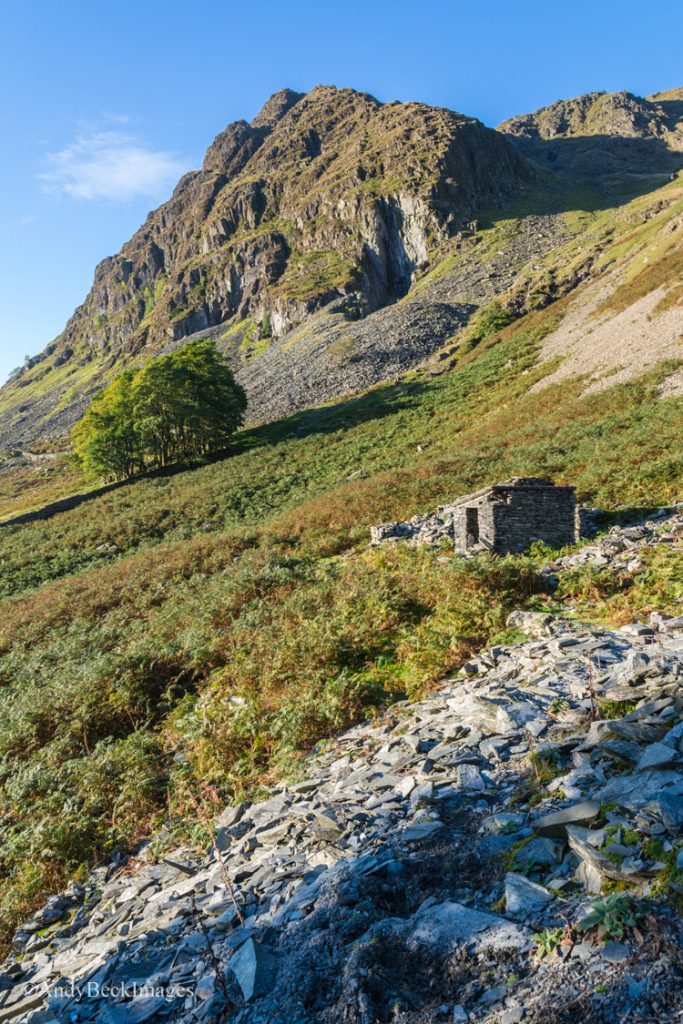
Rainsborrow Crag above the old quarry hut.
From here I crossed the slope through the bracken to pick up the path under the copse of trees.
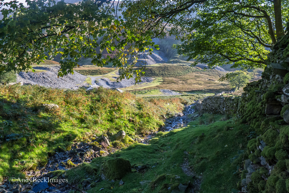
Following the bank of the small beck the path rises alongside the wall up to the base of the crag.
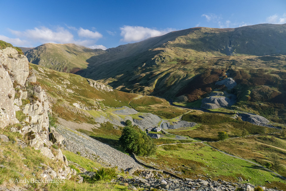
We were now gaining height on the slopes of the fell as we approached the quarry.
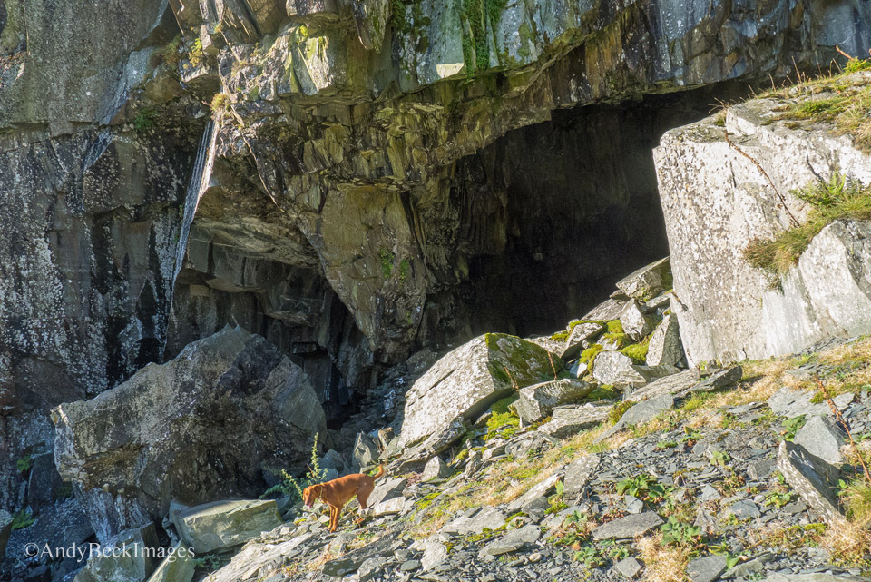
Bailey gives a sense of scale to this impressive quarry entrance.
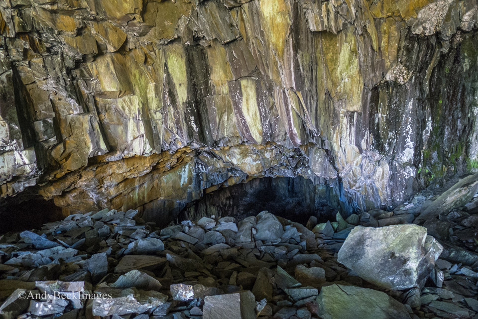
The large main chamber has a rough floor of a jumble of boulders, at the back there are two other smaller cavities.
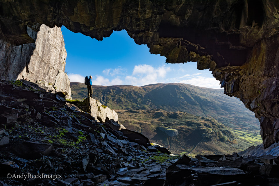
This “selfie” gives a sense of scale to the entrance to the quarry and it’s view across the valley.
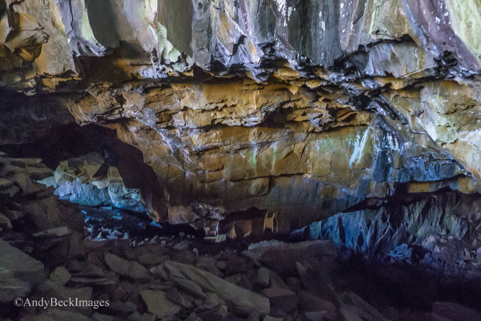
The room to the left is quite easy to access.
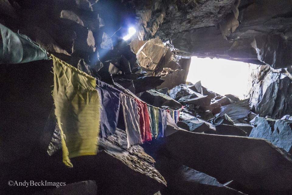
This chamber is dry with areas of flat floor where obviously some people have spent the night. Someone has left a line of Nepalese prayer flags. If you do visit, please treat it with respect and leave it as you would expect/ hope to find it.
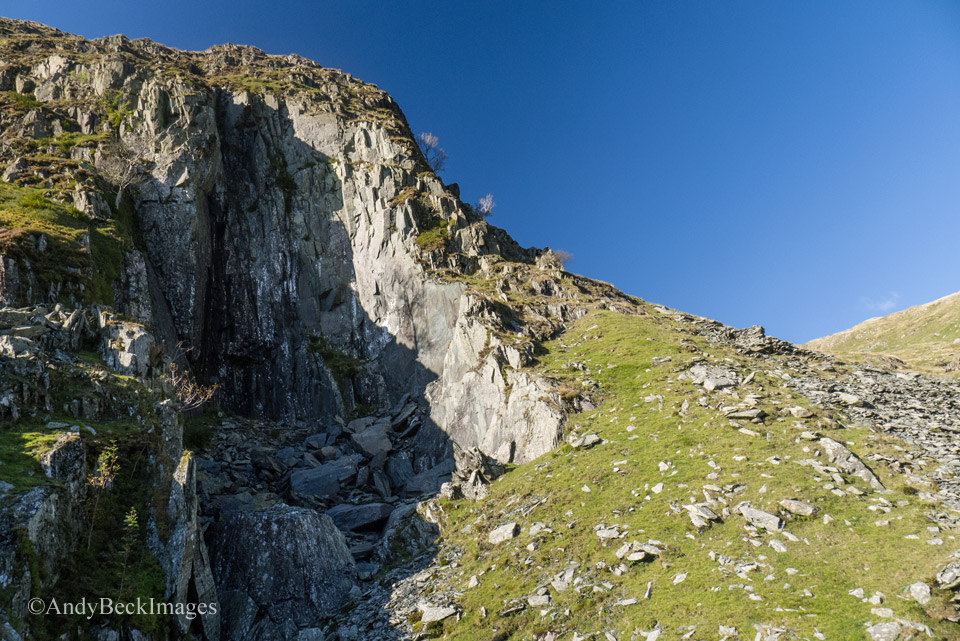
Skirting back round towards the cove we passed the large working which was open to the elements. Our continuing route ascends the steep grassy slope into the cove.
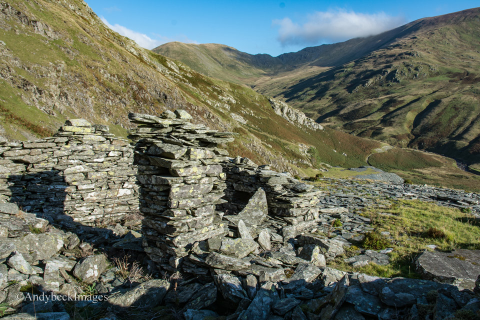
Nan Bield Pass from the old quarry buildings in the cove.
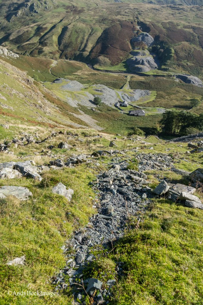
We gain height on the faint path with excellent views down below us.
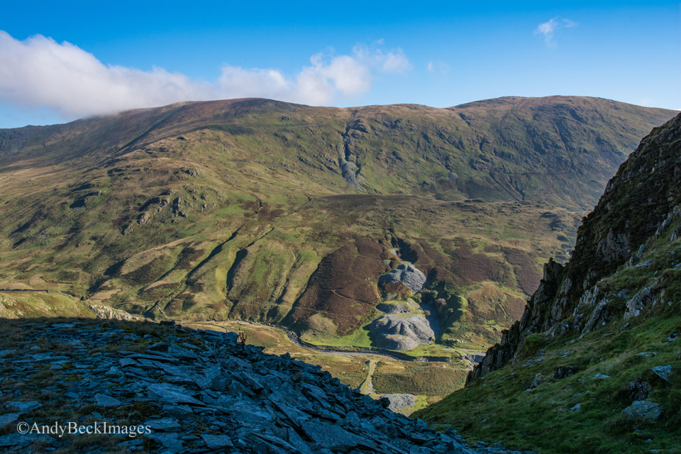
In the shadows of Rainsborrow Cove there lies another abandoned quarry which matches another directly across the valley on the slopes of Kentmere Pike. I imagine this is a good line of workable slate.
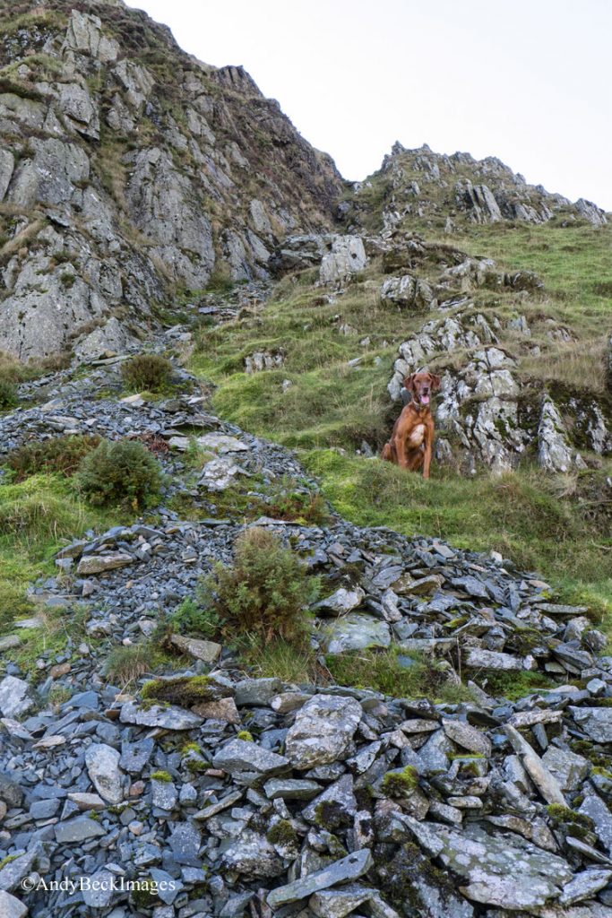
To gain the edge we could have followed the gully but I decided to head around to the right and into the bowl of the cove
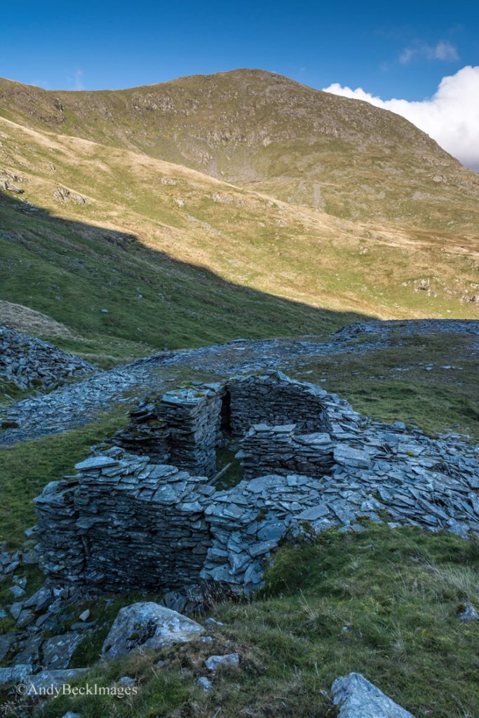
Here in the shadows were a couple of ruined quarry buildings, in remarkably good state, probably due to the fact that they are “off the beaten track”, a replacement roof is all that is required to make them serviceable again. Ill Bell forms the backdrop.
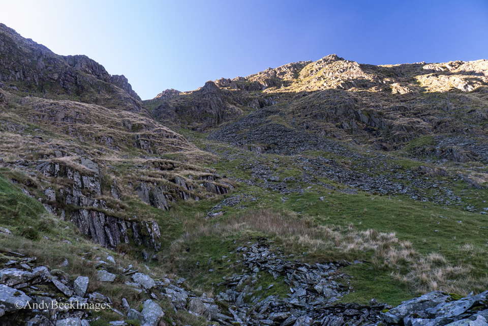
Above the buildings is another quarry cave on Star Crag, not only could this be accessed but I am pretty sure the summit of Yoke could be gained by following the grassy gully up to the skyline. Another days exploration perhaps?
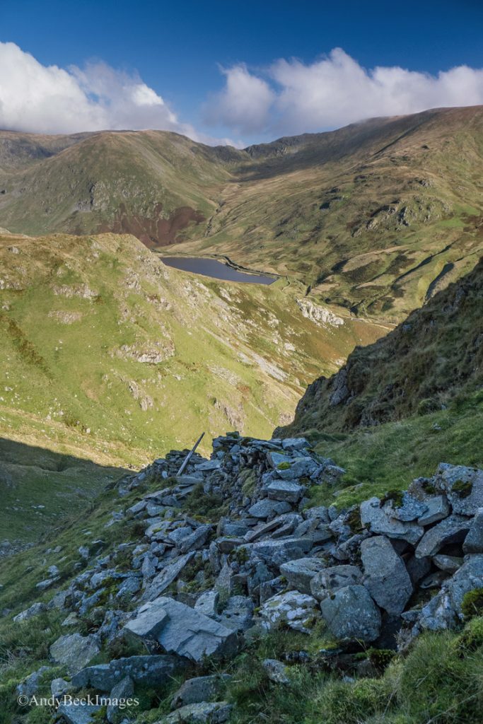
Our aim as to now reach the edge, we did this by leaving the buildings and heading up to the left, crossing the old wall.
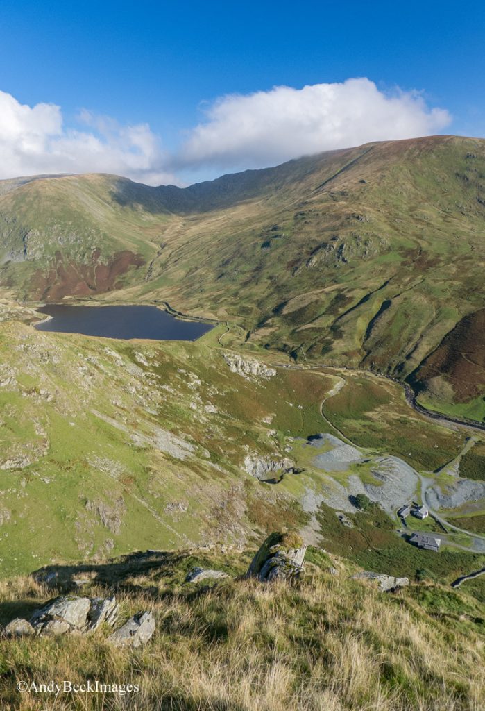
On reaching the edge we broke out into the bright morning sunshine. Just past the stone in the foreground the land drops abruptly, care should be taken if descending this route.
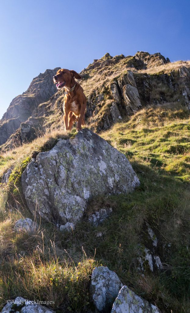
We proceeded to ascend the edge, it is steep, airy in places with sections of grass and also some hands on scrambling. The path here is indistinct in places but this is a place to make your own route.
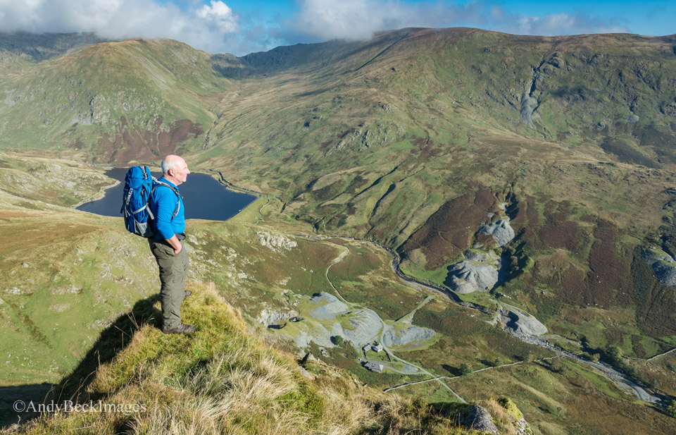
Some of the ridge narrows to quite a knife-edge and these sections can be avoided by moving to the right of the ridge.
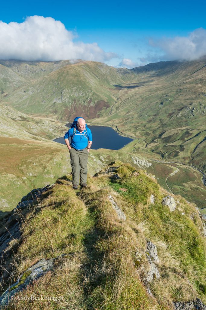
As you can see, in places there is some semblance of a path but don’t expect to bump into many people here. I imagine this is what Striding Edge was like 100 years ago.
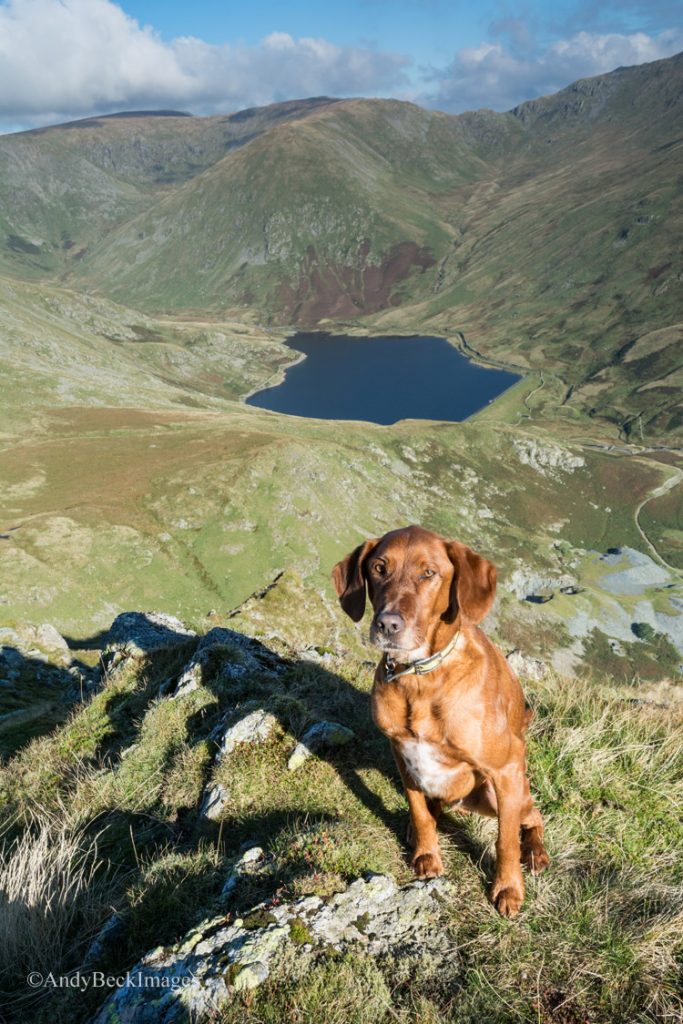
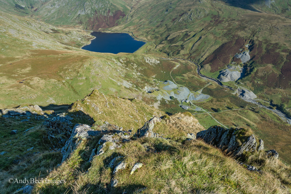
This shot from near the top probably gives the best impression of the edge. You can see the ridge that we have just used.
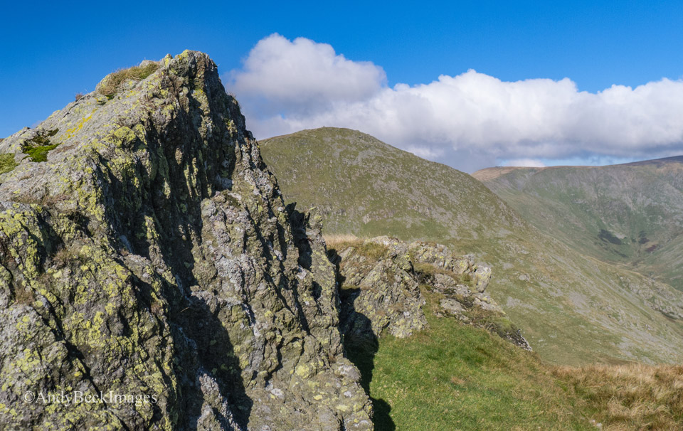
As we reached flatter ground we had more time for a look around. This outcrop had definite similarities to Steeple in the Western Fells.
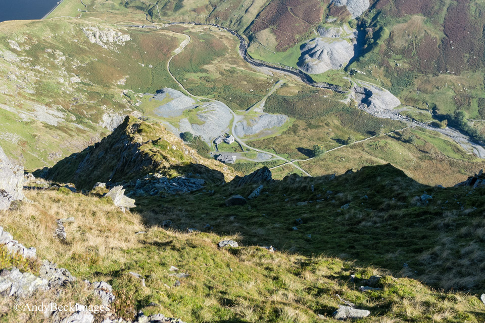
Another good angle of view of the edge which we had just ascended.
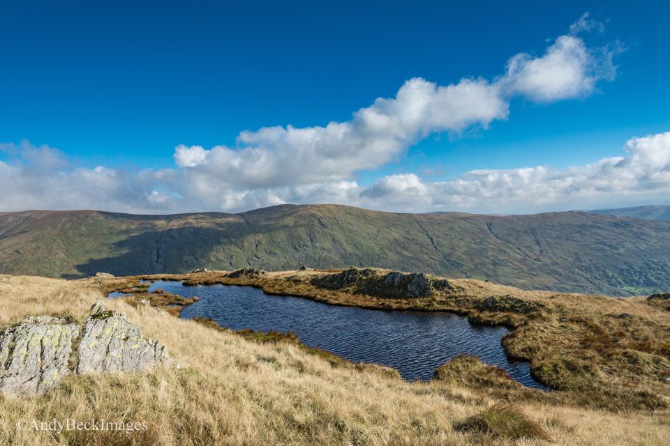
Rainsborrow Tarn and across the valley, Kentmere Pike.
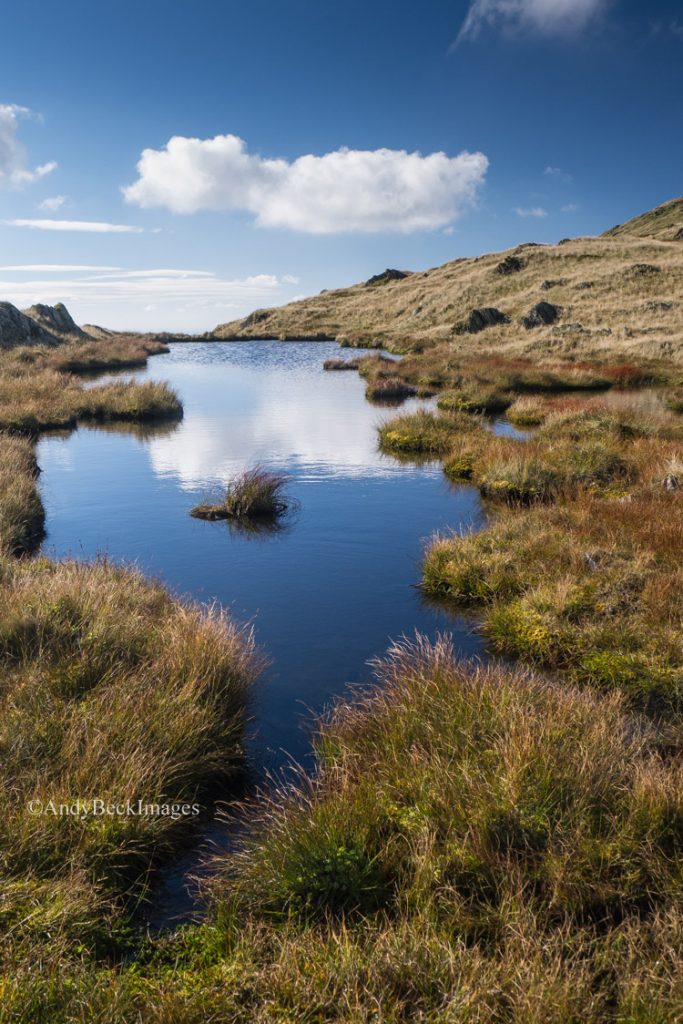
A delightful tarn, well worth a visit. From here it is an easy stroll up to the summit.
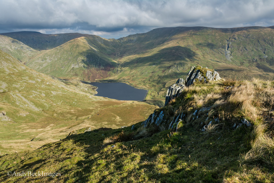
Kentmere valley and Nan Bield Pass.
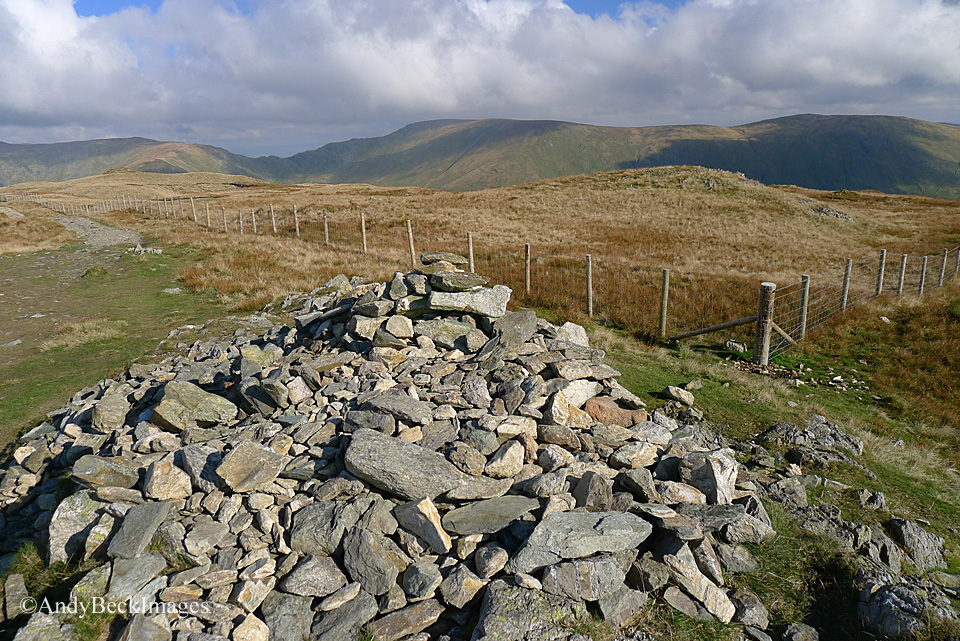
The new stock fence close to the summit cairn. This replaces the old one marked by Wainwright in the original Pictorial Guide.
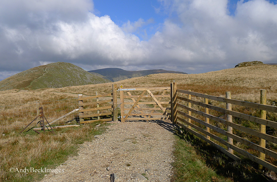
Complete with a new gate.
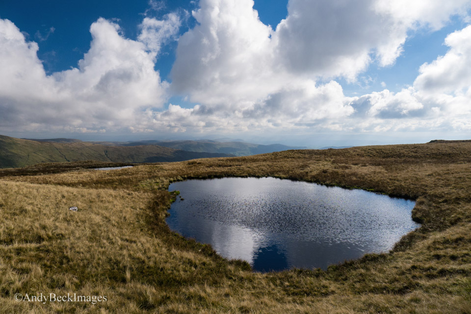
The two tarns near Yoke summit
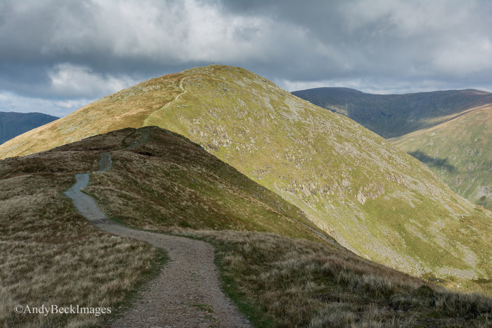
The route along the Ill Bell ridge in a large part consists of a well made path.
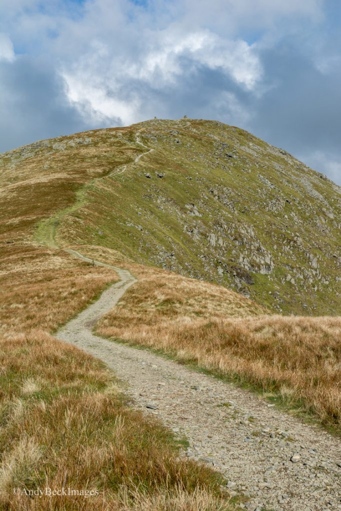
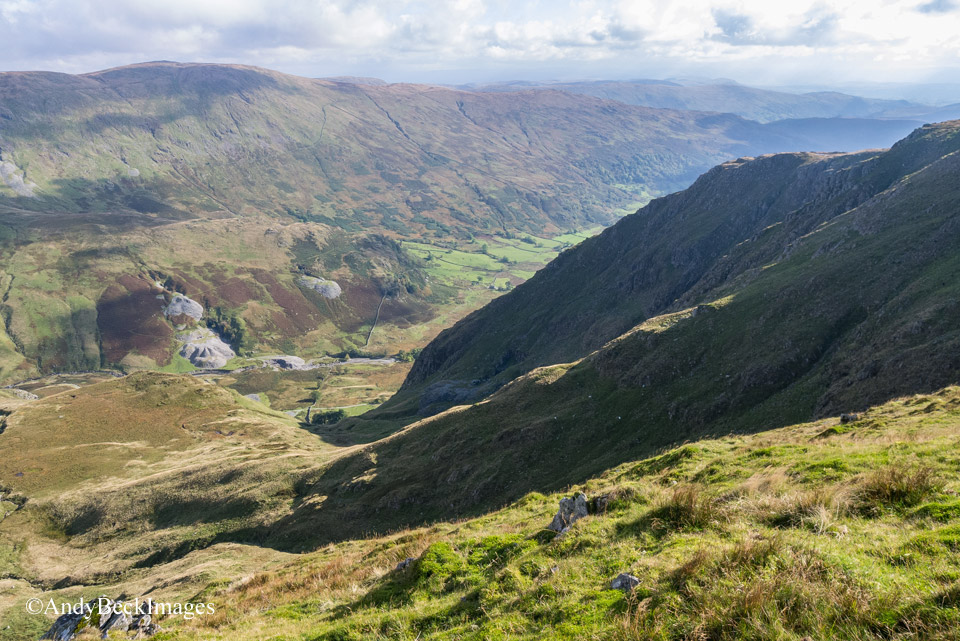
At this point our route of ascent can easily be seen in full, with the copse of trees, the ruins in the cove and the complete length of the edge in view.
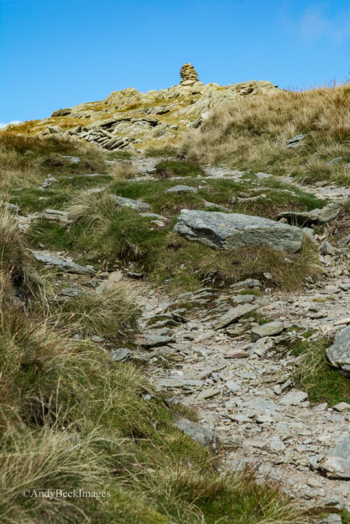
A last steep climb up to Ill Bell summit.
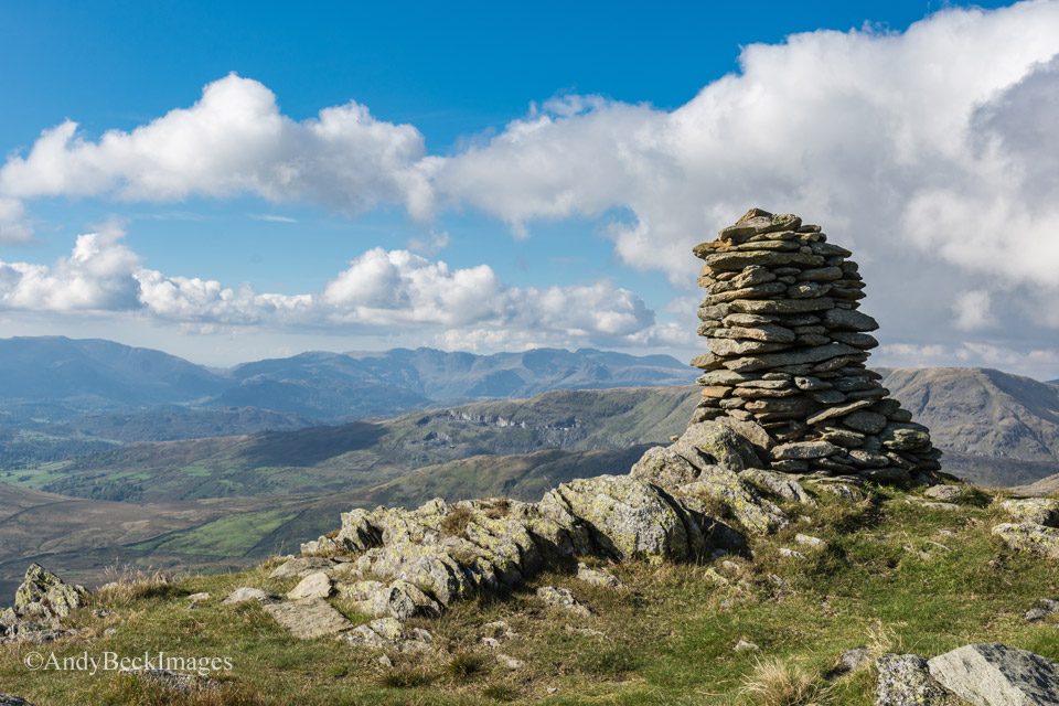
This is the southernmost and smallest cairn on Ill Bell’s summit. It is prone to collapse. There were at one time four cairns on the top of Ill Bell.
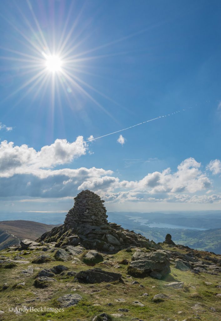
The cairns of Ill bell with Windermere in the distance. Not bad weather for mid-October. Hardly a breath of wind and warm sunshine.
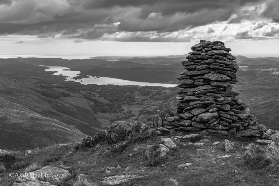
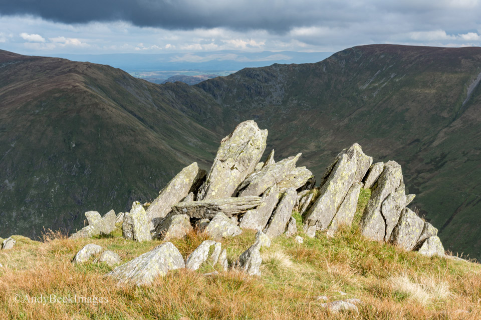
These rocks mark the top of the north east ridge of Ill Bell, that’s another fine ridge of ascent up from the Kentmere Valley.
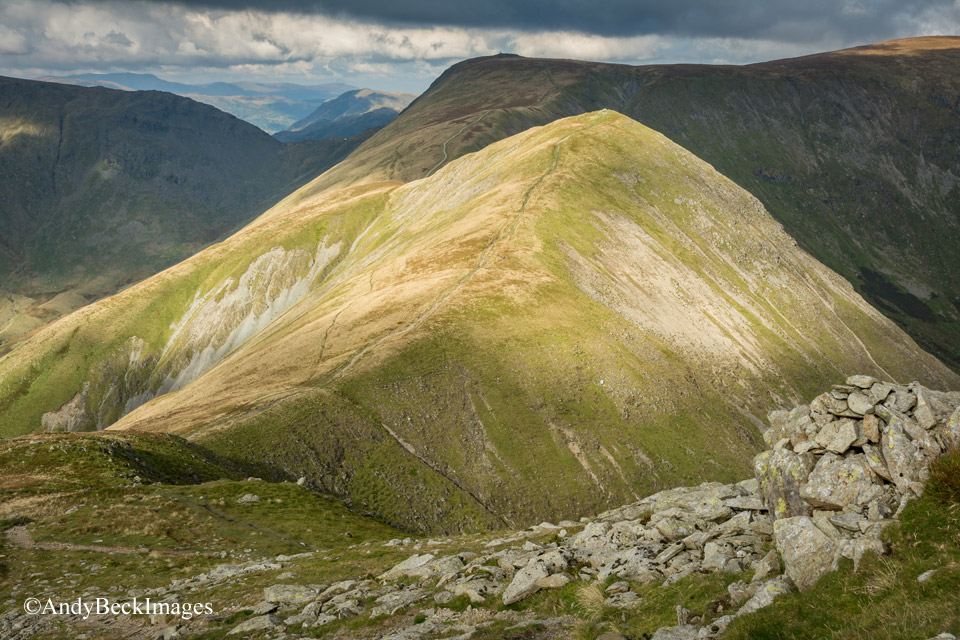
Sunlight lights up the summit of Froswick. As I sat for an hour on Ill Bell having lunch and just enjoying the wonderful views the clouds came over, making some lovely patterns of shade on the landscape.
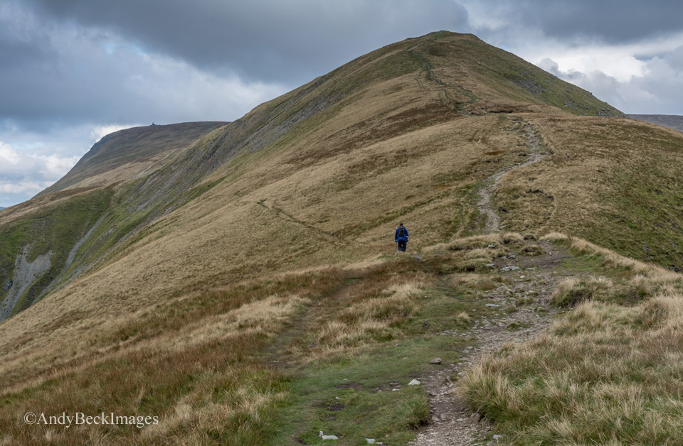
There were only a few other walkers about today on this popular ridge. We headed up and over the top of Froswick.
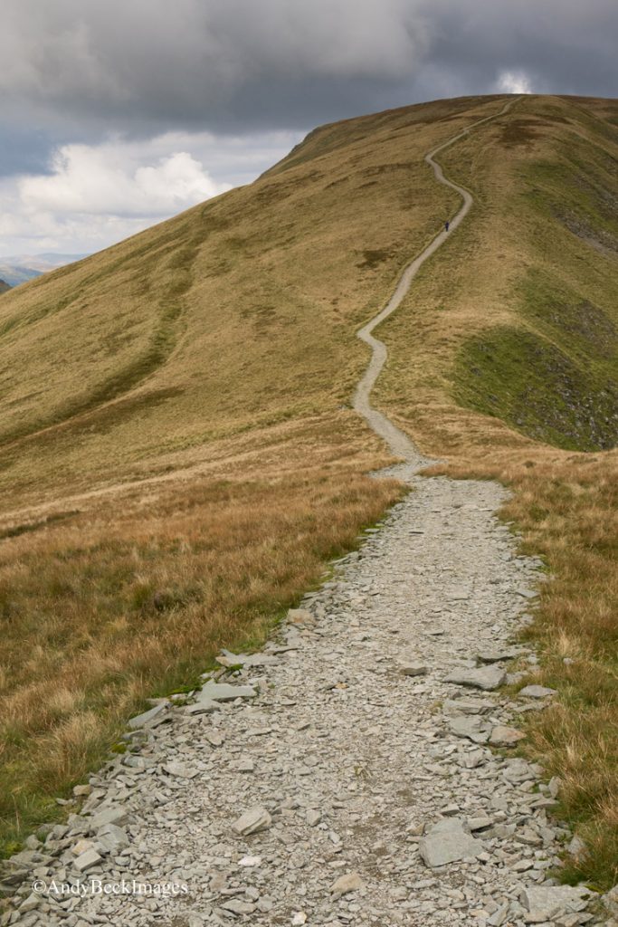
The path to Thornthwaite Crag from Froswick. I recall some years ago walking the length of this ridge. Due to it’s popularity, the weak peaty terrain had been severely eroded. In many places the path had deteriorated into a boggy mess which had exposed the subsoil and the peat had washed out to form deep channels. Walkers were then avoiding the bog and the path was getting wider and wider, increasing the problem. Then about 10 years ago, work was undertaken to repair the damage. It may not look “natural” but it serves a purpose and has prevented further erosion. You can just about make out the dark grass areas either side of the path, that’s roughly the width of the old eroded path. This work, both here and other locations (Sail in particular) is a necessary fix for the pressures we walkers put on a fragile landscape.
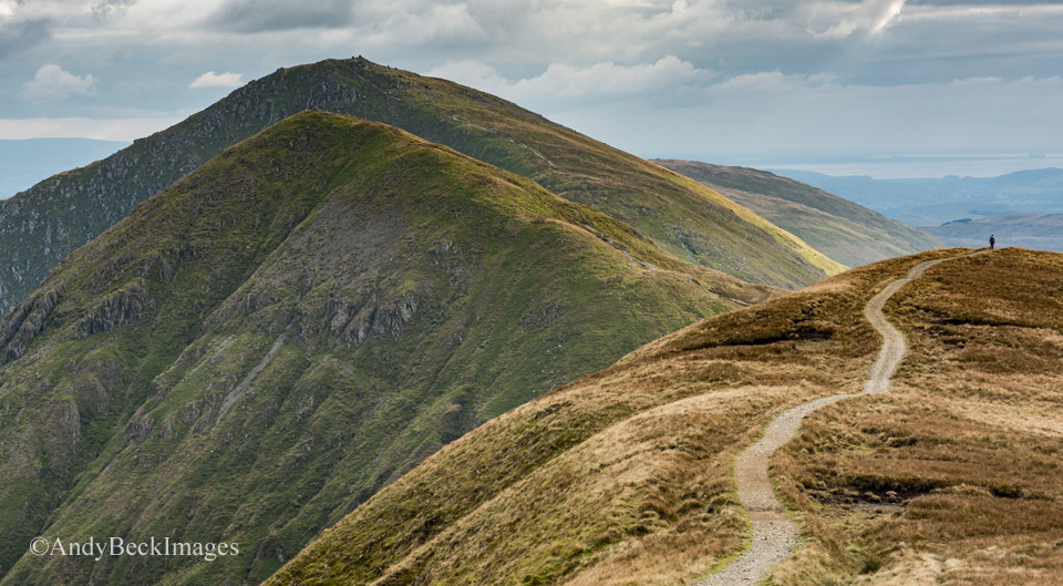
A lone walker makes his way along the Ill Bell ridge
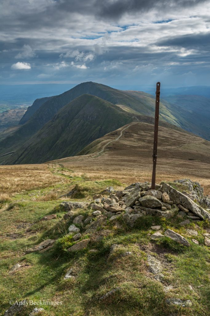
The Ill Bell ridge from near Thornthwaite Crag
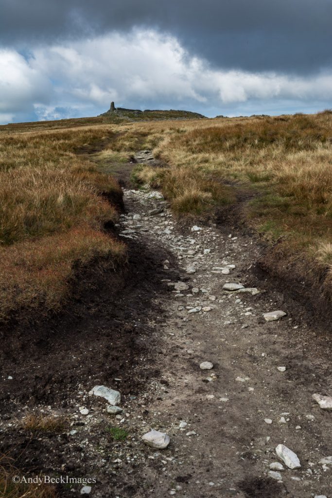
Here you can see where erosion has taken place which will no doubt need repairing in the future. Luckily today the ground was fairly dry.
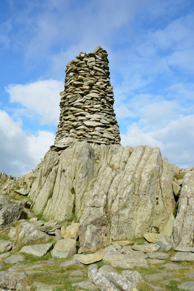
This impressive beacon is not as tall now as it was in Wainwright’s day but it is still a fine monument which can be seen from miles around.
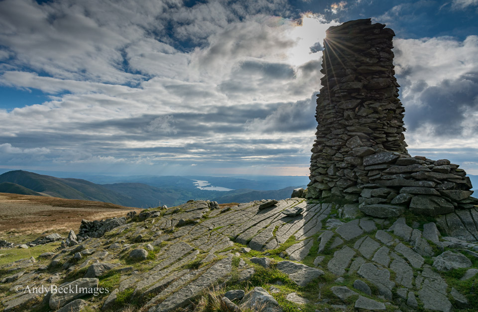
Windermere from the summit of Thornthwaite Crag.
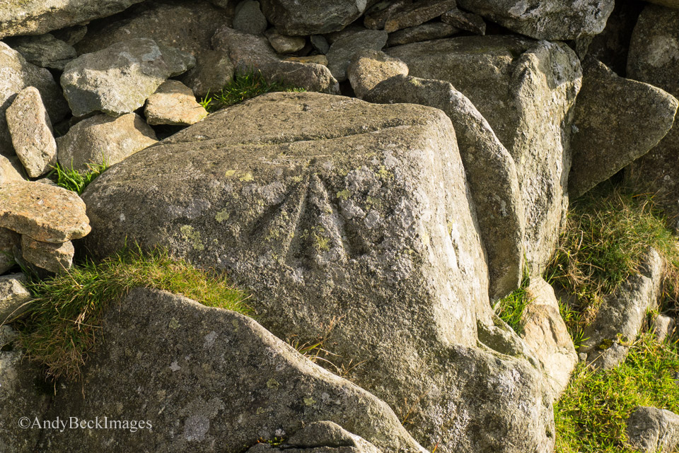
This Ordnance Survey benchmark is at the foot of the beacon, probably not spotted by many as they take a break at this fine location.
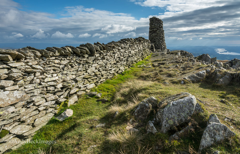
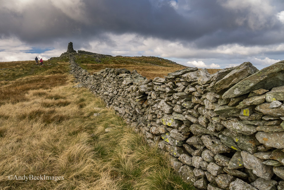
After a brief chat to some fellow walkers we headed along the old wall to the south east towards our route of descent off Gavel Crag.
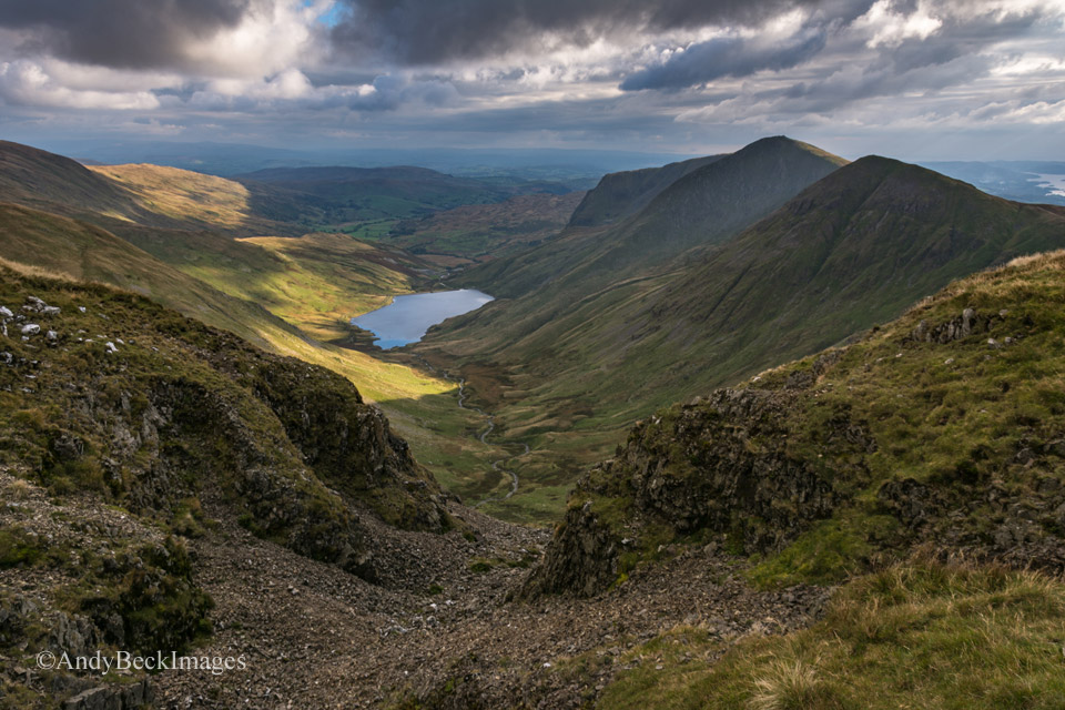
The path that forms the Kentmere Horseshoe route skirts the top of the Upper Kentmere Valley along the edge of Gavel Crag.
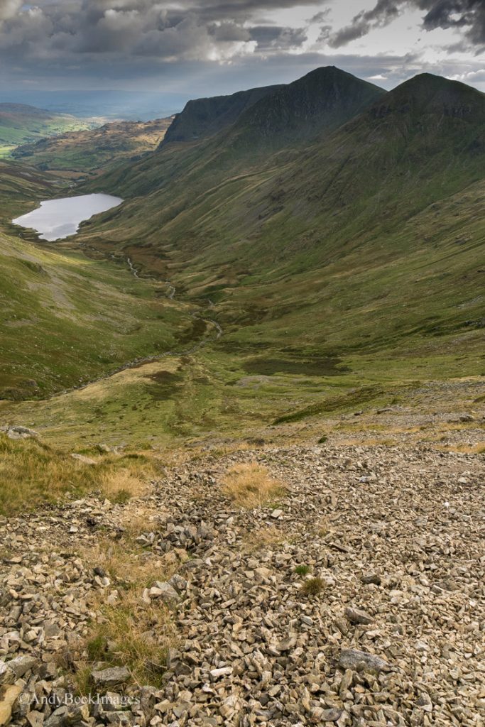
Our descent route off Gavel Crag is steep and crosses some loose scree. I have ascended this way in the past which is definitely the easier option.
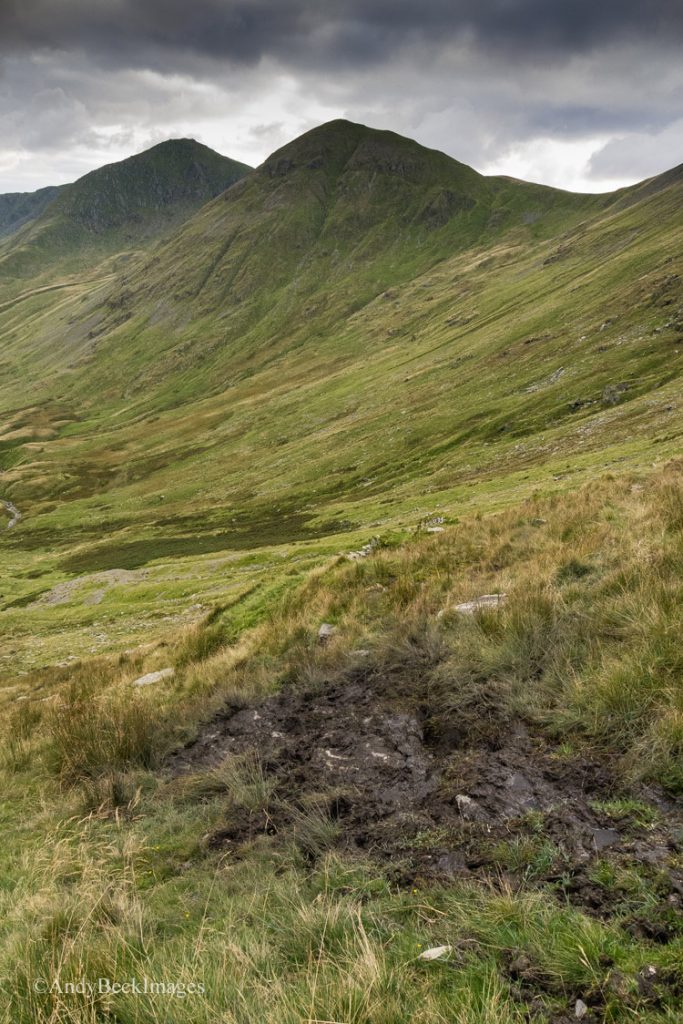
As I mentioned earlier, the whole day was filled with the sound of rutting stags throughout the valley. Here on our descent in this remote part of the fells we were able to watch groups of deer from afar but they were not close enough to photograph properly. However, we did pass by some of these wallows, made by the stags in damp patches of ground. Here they make their mark, wallowing in a mixture of peaty water and their own “scent”, apparently it’s attractive to the opposite sex. But I can tell you, the pungent smell wasn’t worth putting in a bottle!
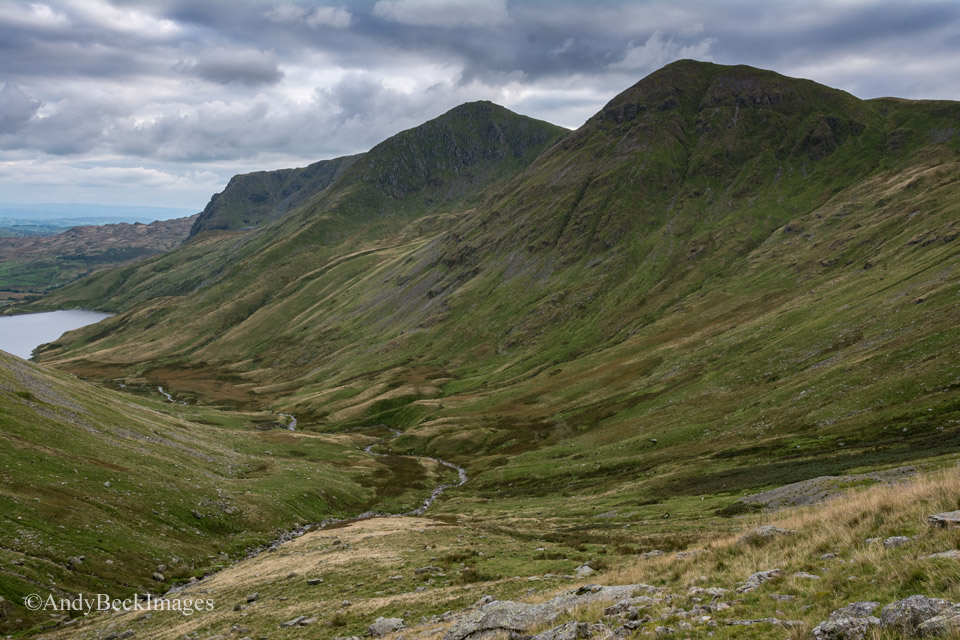
Perhaps the most shapely ridge in the whole of the district. I had planned to descend this was for a photograph that I needed for my next project and the lighting conditions were just right for my needs.
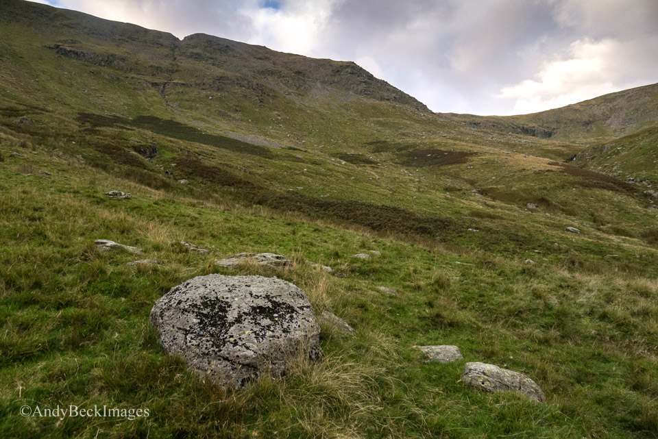
Looking back up to the slopes of the crag. We descended the slope between the V groove and the steep nose.
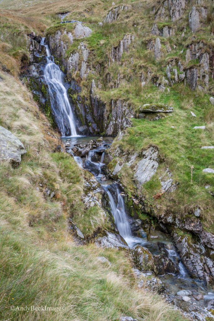
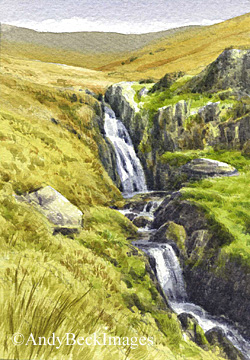
Waterfall in Hall Cove, Kentmere valley, a scene which I have painted for the Wainwright’s in Colour project.
Our route now took us around the west side of Kentmere reservoir.
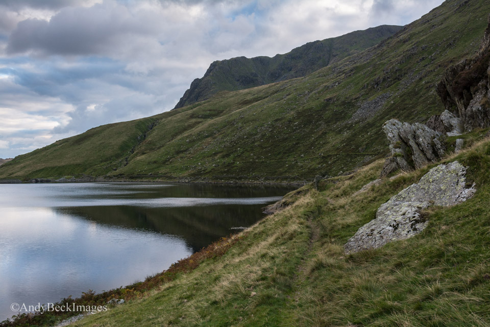
The path around the reservoir is easy to follow.
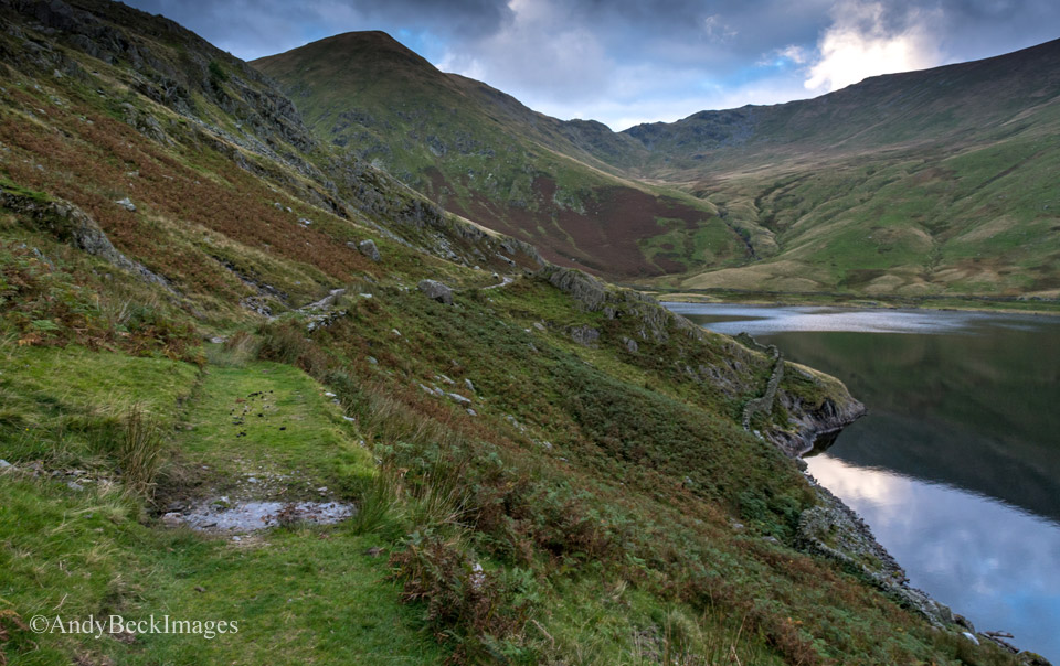
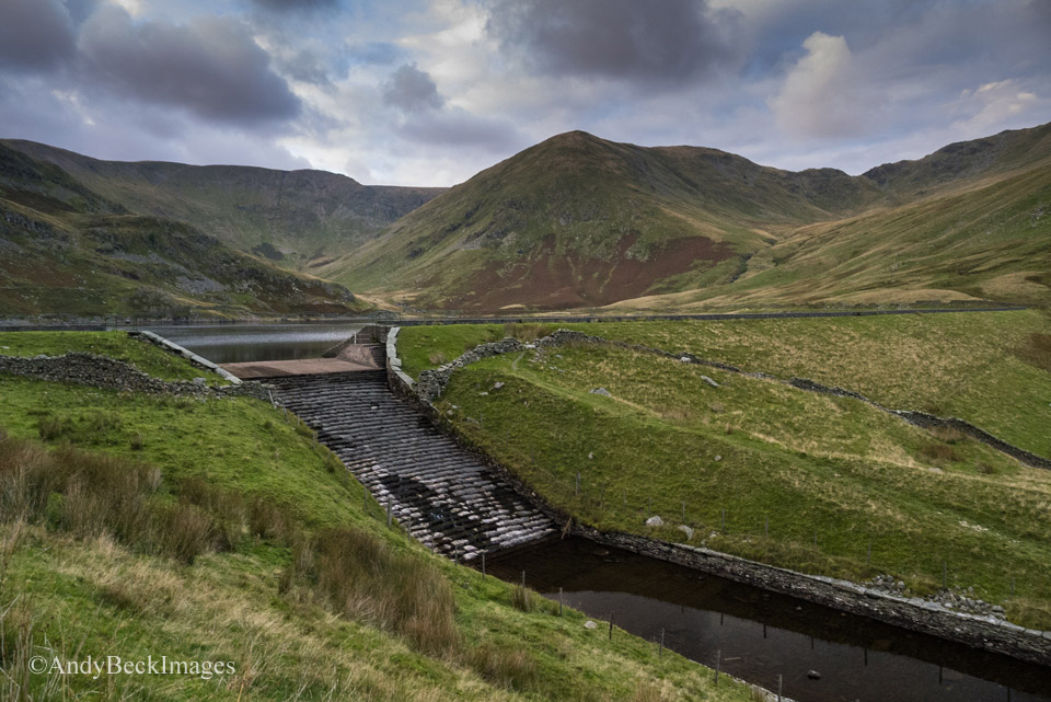
The low levels of water in the reservoir meant that the outlet channel was not flowing.
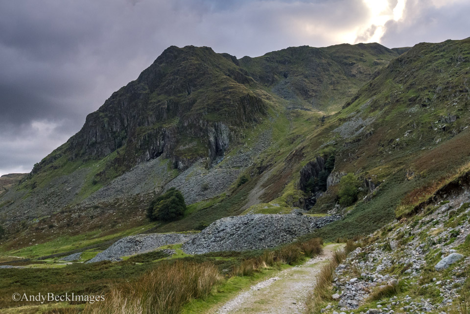
Soon we were back at the quarry under Rainsbarrow Crag and the light was fading as we reached the car. It has been an excellent day out, perfect light for my photographs and with all my walks these days I am in no hurry. Time to explore and take in this wonderful scenery. Now I can get on to complete my work on Yoke in the studio with pleasant memories as I do so of this great day out on the Kentmere fells.
As a postscript. I did go back to the studio and paint the single scene that I was after from this trip, the view of Rainsborrow Crag. I am so glad that my obsession with obtaining the correct locations for the Wainwrights in Colour project paid off. Not only the right location but it resulted in this fine day out.
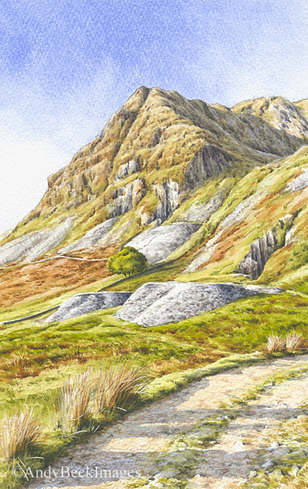
*Errata: The observant reader of The Wainwrights in Colour book will have noticed that in the Yoke chapter I made the error of misspelling the word Rainsborrow. Apologies for this oversight.
Thank you for reading.

