Teesdale Waterfalls in Autumn
This a short descriptive blog of our route and photographs taken today- 20th October 2015. Hopefully you will find it useful if you plan a visit.
Route map for Teesdale Waterfalls by Andy Beck on plotaroute.com
This a short descriptive blog of our route and photographs taken today- 20th October 2015. Hopefully you will find it useful if you plan a visit.
Route map for Teesdale Waterfalls by Andy Beck on plotaroute.com
Start at Bowless Visitor Centre Car park on the B6277 Middleton in Teesdale to Alston Road just past Newbiggin.
The bonus to living here in Teesdale is the fact that within the dale there are approximately 80 waterfalls which are marked on the map. Many of these are hardly worth a look but on the other hand the dale boasts one of the most impressive falls in the country- High Force. Admittedly at about 70′ it’s not the highest but it’s setting deep in a wooded gorge is well worth a visit. Information for a trip can be found here: High Force Waterfall
I tend not to visit the falls more than a couple of times a year but today the forecast was good and with the tints of autumn in the trees I thought it would be a great opportunity to take the short drive up the dale, give Bailey a walk and maybe grab a couple of photographs. With an early start we parked at Bowlees from where we crossed the river at the Wynch Bridge and headed up along the Pennine Way to High Force on the south side of the river. The promise of a decent dawn failed to materialise so by carrying along the well made path a little further we reached a smaller but still impressive fall of Bleabeck Force.
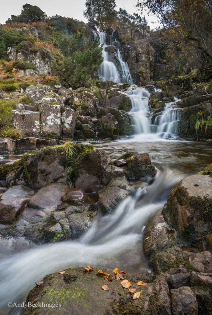
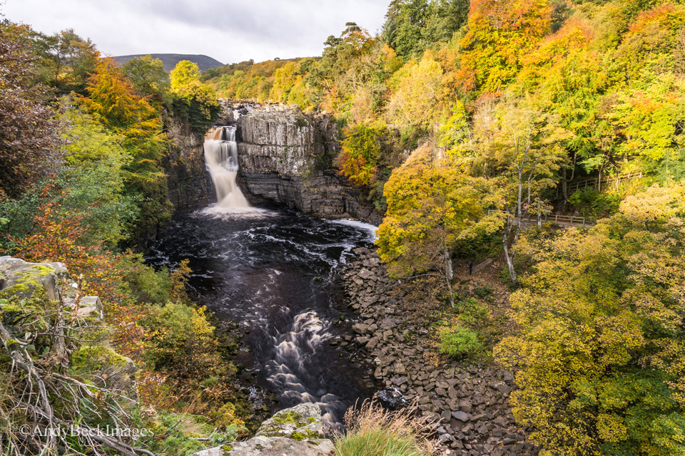
As you can see, this waterfall is made up of a series of drops and up above the top section there are a further series of cascades which are well worth a careful exploration if you have time. From here we retraced our steps back down the footpath towards High Force. The views on this, the south side of the river are fairly restricted due to steep drops and tree growth. There is really only one place for a clear full on view of the waterfall and that is accessed along the path and by passing through a small metal safety barrier. Take note of the warning signs here, the drop is open and unprotected. *Update…there is now a safety barrier on the edge of the drop.
This will be the view before you, obviously it varies from season to season. The water is mainly controlled by Cow Green reservoir but it is not unusual to see water flowing as a smaller fall to the right hand side of the central buttress. Today the water flow is rather low. Down below you can also see the access path on the north side which leads to the force from the High Force Hotel where a small fee is paid to use this path to reach the rocky bank of the river in the photograph. From there you get to look up at the force.
Take the footpath from here, heading back in the direction of Bowlees. It’s a pleasant fairly level riverside path and before long you will reach Low Force.
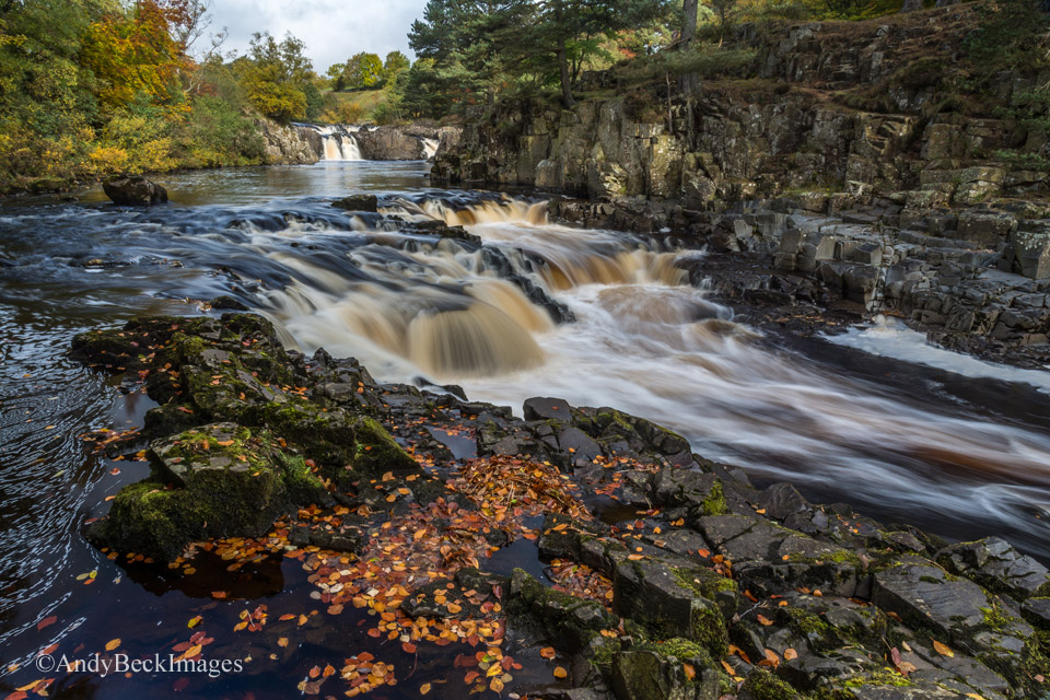
There are several good viewing points for Low Force, this is one of the most popular and it is close by the Wynch Bridge, a small suspension bridge which is the only way to cross the river hereabouts. Over on the other side the flat woodland in the top right of this image also provides a good view of the upper sections of Low Force.
From here we retraced our earlier route across two fields back towards Bowlees. In the small hamlet is a converted chapel which is now the Bowless Visitor Centre, a good place for local information and refreshments.
From the main car park there is a footpath which leads up to another couple of waterfalls. The path is decent but muddy in places. Pass by the toilet block on you left and head towards the old quarry where there are some picnic benches. Close by is another couple of waterfalls, they are on Bow Lee Beck but are not named on the map.
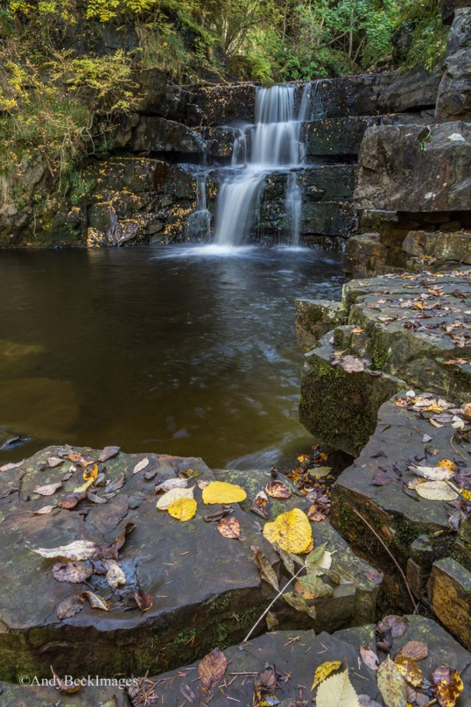
Once again, the beck is running low at the moment and normally the fall is quite a bit wider. There is another small fall above this one which can be seen from a small viewing area but it is difficult to access for a good photograph. Carry on the footpath which leads into the woods with the stream on your left. This will lead you into the gorge at the head of which is Summerhill Force. Again, depending on the season and weather conditions the look of the waterfall can change dramatically.
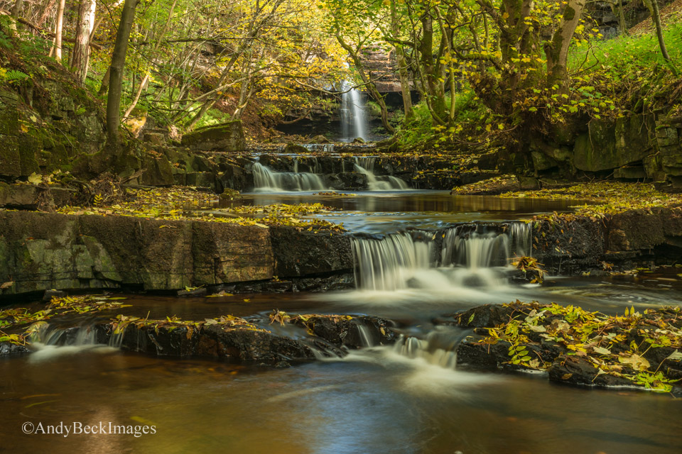
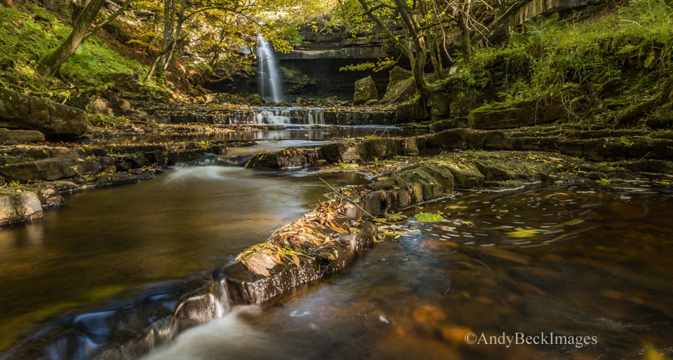
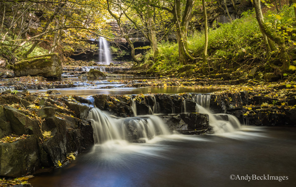
Plenty of opportunities here to try out you photographic skills but be warned, the rocks are slippy, especially with mud and wet leaves.
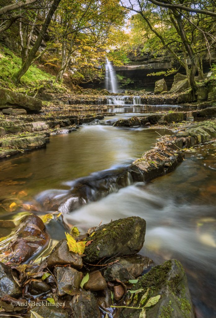
Behind the fall is an overhang in the cliff face, this is known as Gibson’s Cave. There is no easy access past this point to get further upstream. Return to the car park via the footpath.
These few waterfalls are easily reached by fit walkers in a couple of hours but do allow time to admire the scenery and take photos. All of them are worth visiting during the various seasons throughout the year.
Feel free to comment and possibly in the future I will write a follow up post on the more out of the way waterfalls in the area that are worth visiting.