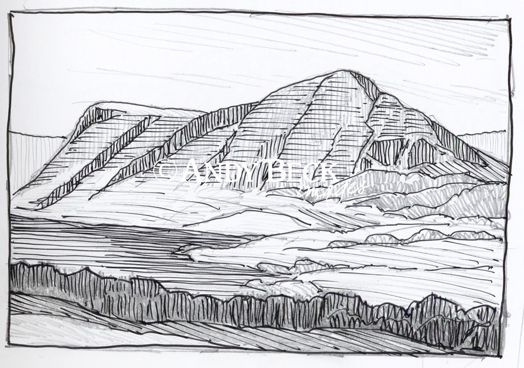
Wainwright summit*: GR: NY14839 18558* 1676′ True height: GR: NY14843 18558 1680′ 512m
Summary: This page is currently being updated. Please call back.
Topographical features: Wainwright took the height 1676′ from a OS trig station on the south top shown on his maps. However when compiling the guide he placed the “Wainwright” summit cairn further south on his map at the grid reference shown above. The true summit is actually where that original trig station was marked on his maps, about 55m north of his summit.
Points of interest: The lone holly tree drawn by Wainwright on the western side of the fell still stands.
Tarns: None of note on the top of the fell. Crummockwater lies to the east of the hill.
Waterfalls: None
Adjoining Fells: Hen Comb, Starling Dodd, Red Pike (Buttermere)
Nearest facilities: Car parking
Star rating:
Check walks on this fell:

