A circular walk over Great Coum in Dentdale
This Great Coum walk was on new ground for me. Even though I have been to the quaint little village of Dent before I had not visited Great Coum. The walk is basically following the route described by A. Wainwright in his book- Walks in Limestone Country but we varied the final ascent of the fell itself. We undertook this on a very warm day in June.
Date walked: 30/6/18
Start: Dent village centre
Parking: Large car park in village centre
Public Transport: Bus to Dent using Western Dales Bus
Facilities: Village shop, cafes and pubs and accomodation all available in Dent Village
Walk Route: Shown below. To download GPX files or other formats for this route for free click here
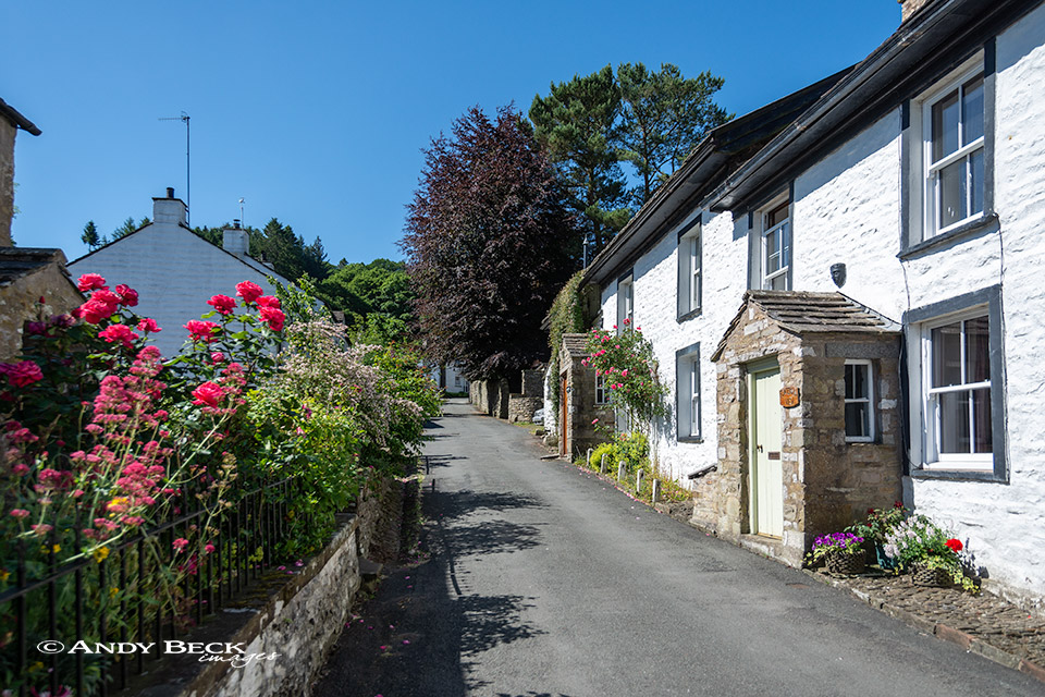
Leaving the centre of Dent Village via the lane opposite the car park and information centre. The lane is lined with picturesque cottages.
Soon the lane narrows and becomes rougher and steeper as it reaches the shade of the woodland. On a tree you will see a sign for “Dancing Flags”. These are the flat bedrocks of Flinter Gill which are down to the left.
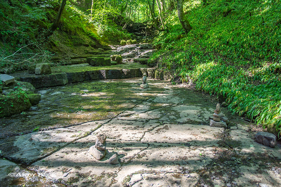
Today the gill was all but dry. No doubt that after heavy rain it would be difficult to stand on this position. Returning to the lane we soon react the “Wishing Tree”, an old Oak tree which forms an arch.

Apparently wishes are granted if you walk under the arch three times in a clockwise direction. Continuing to walk up the lane you will come to a barn just in a field on the right before a gate. This is High Ground Barn.
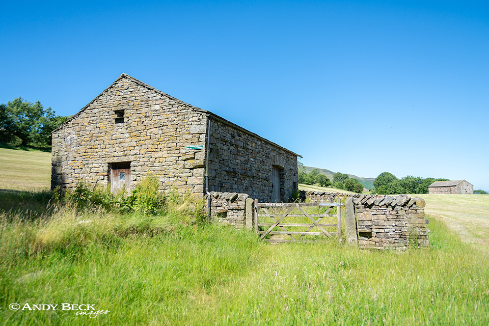
High Ground barn is well worth a short detour. It is filled with farming implements and machinery from days gone by. Information boards inside give details of how such equipment was used. Once back on Flinter Gill lane you will pass this restored Lime Kiln adjacent to the path.
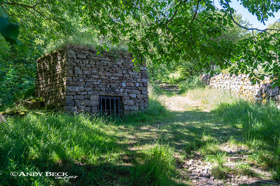
The beck that would normally be in full flow down to our left was just a mere trickle.
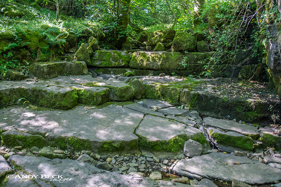
Sections of the gill such as this would be impressive with water tumbling over the limestone steps but not today.
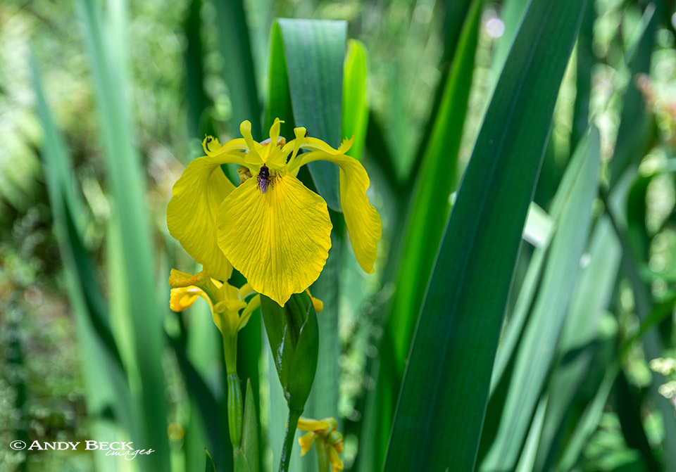
In the cool shady patches of the lane there were an abundance of wildflowers including these Yellow Flag Iris.

Once out of the woodland the lane reaches the open moor. At this gate you will see a viewfinder cairn up to your right, well worth a short detour to visit. We however continued onwards up the walled lane.
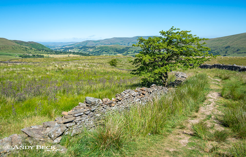
The views were now beginning to open up, here the lower reaches of Dentdale can be seen. Dent village itself is hidden from view for the rest of this walk.
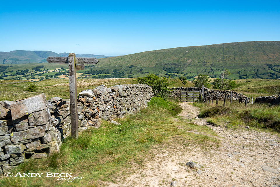
Looking back down Flinter Gill lane from where it joins the green lane.
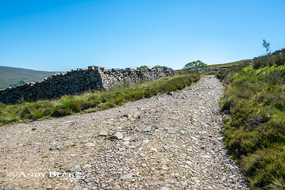
At the top of Flinter Gill Lane we join the walled lane marked as Green Lane on the OS map. It is also known as the Occupation Road. We turn left along the lane.
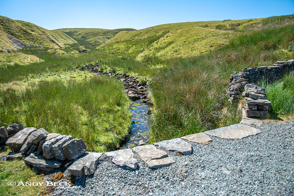
Flinter Gill comes down off the fell side.

A great day to take in the extensive views to the high Lakeland Fells.
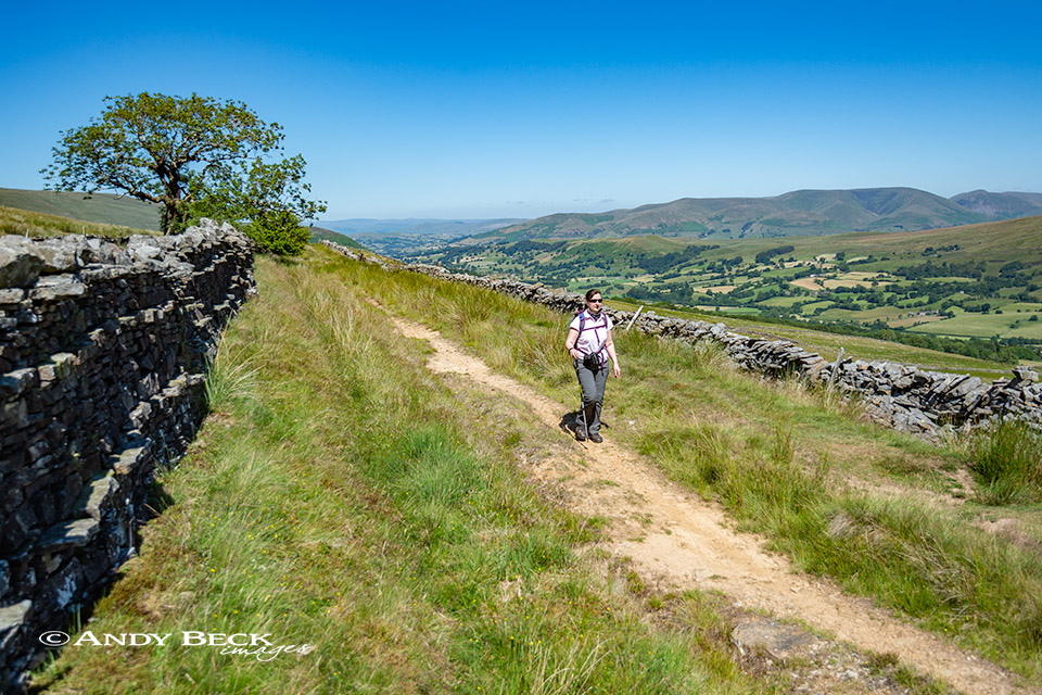
The Occupation Road makes for easy walking. It contours around the slopes of Great Coum as it heads up to the top of Deepdale.
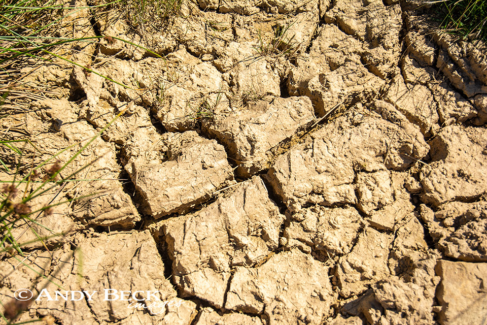
At certain times of the year much of this lane is a muddy mass. Today after a prolonged period of hot dry weather the mud is baked dry.
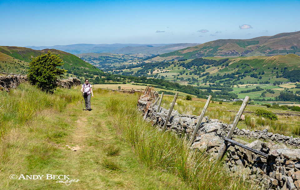
Blue skies and fine walking country.
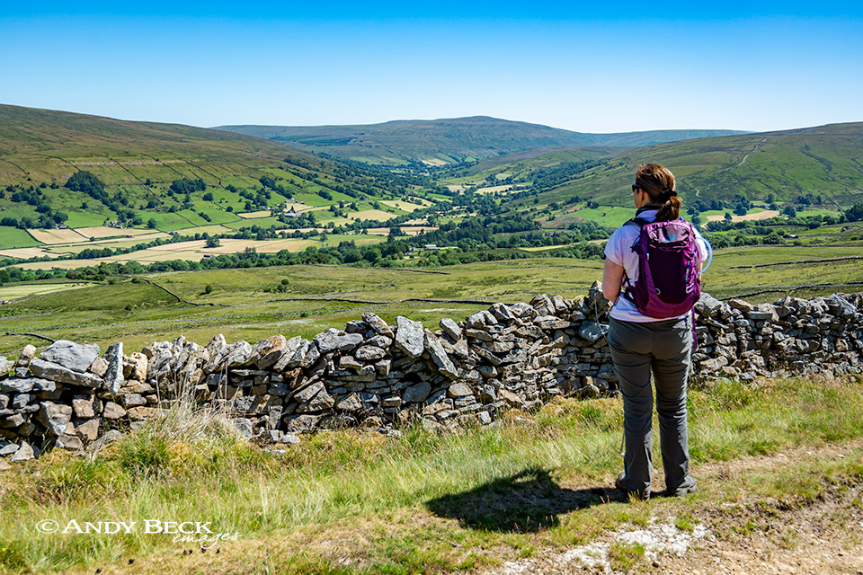
A patchwork of fields as hay time is in full swing.

The long and winding road.
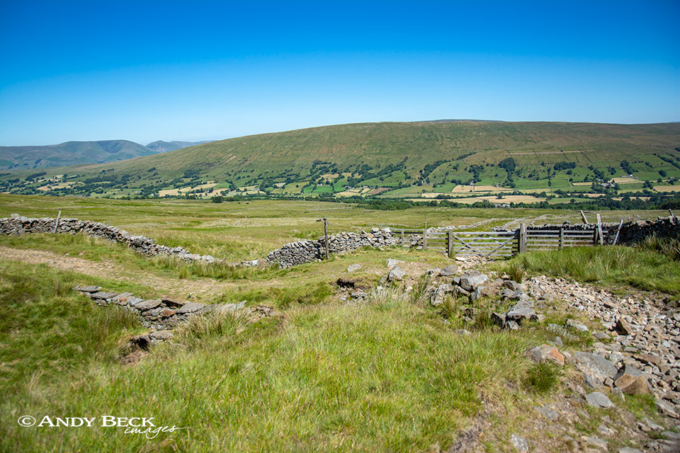
The Green Lane is again joined by another lane coming up from Dentdale. This is Nun House Outrake. It could be an option for a descent back into Dent but not for us today. We continue along the Green Lane.
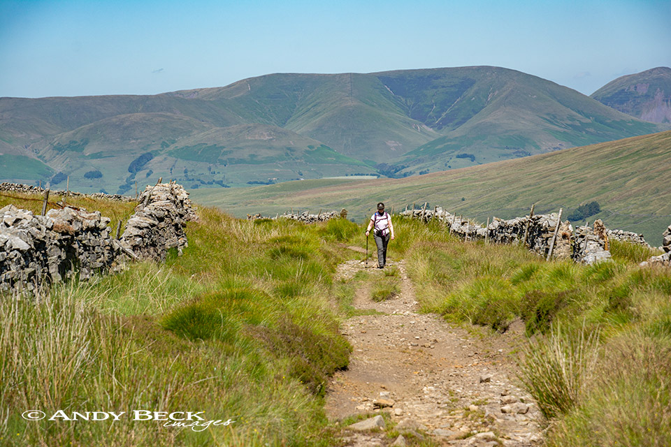
Behind us The Howgills form an impressive backdrop.
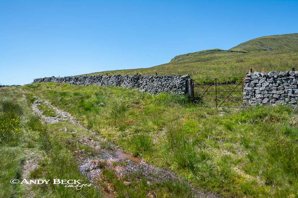
Soon we reach a gate on our right by some sheepfolds. At this point we head through the gate. We take a direct line across open moor to the scar on the horizon, marked as Binks on the map.
Binks is a limestone cliff on the slopes of Great Coum, hereabouts is a quarry and this lime kiln.
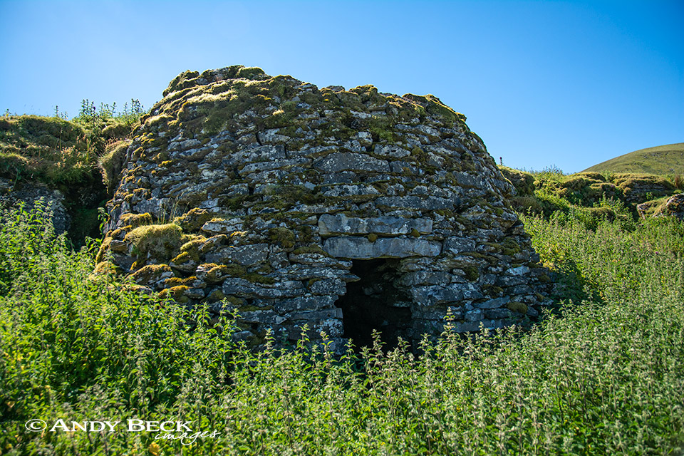
Near here in his book Wainwright marks a shelter but not a kiln, perhaps he mistook this as a shelter. It is a very old and virtually untouched kiln but the stonework within looks loose and fragile. I’m not sure that I would take shelter in there.
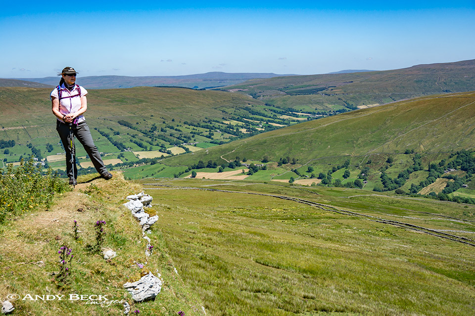
The view from above the limestone cliff is of Dentdale and Deepdale.
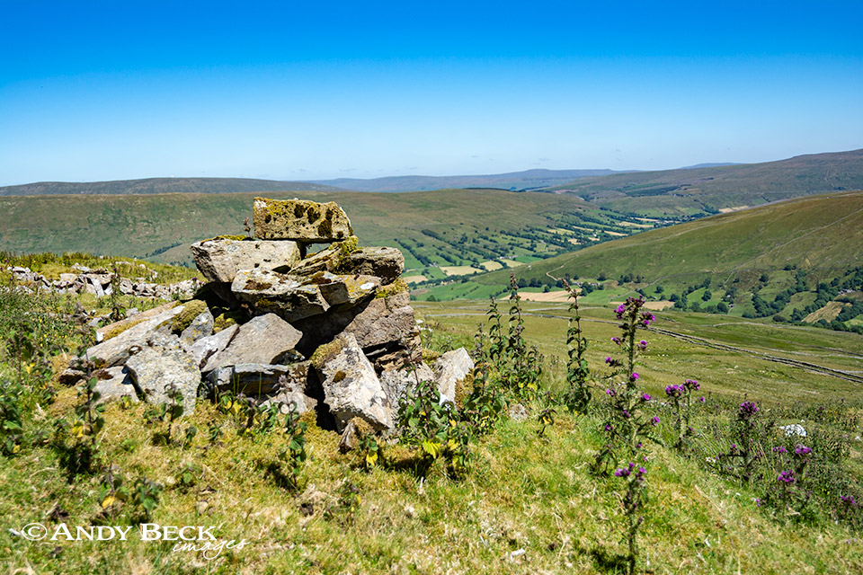
The limestone cliff of Binks is topped by a very old cairn, seldom visited.
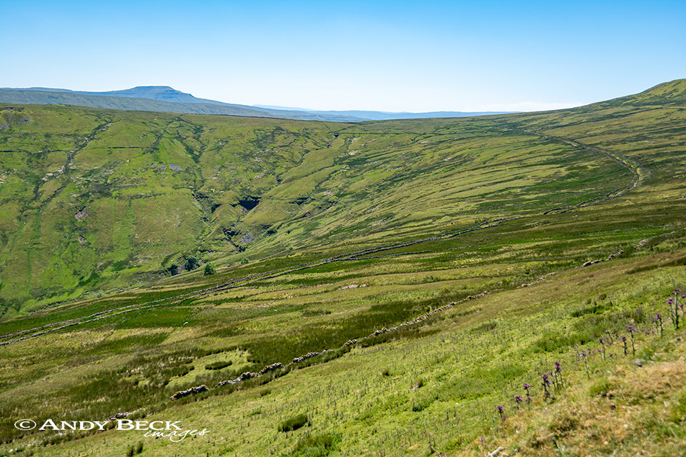
From here the sweeping route of the Green Lane leads the eye up to the distant Ingleborough.
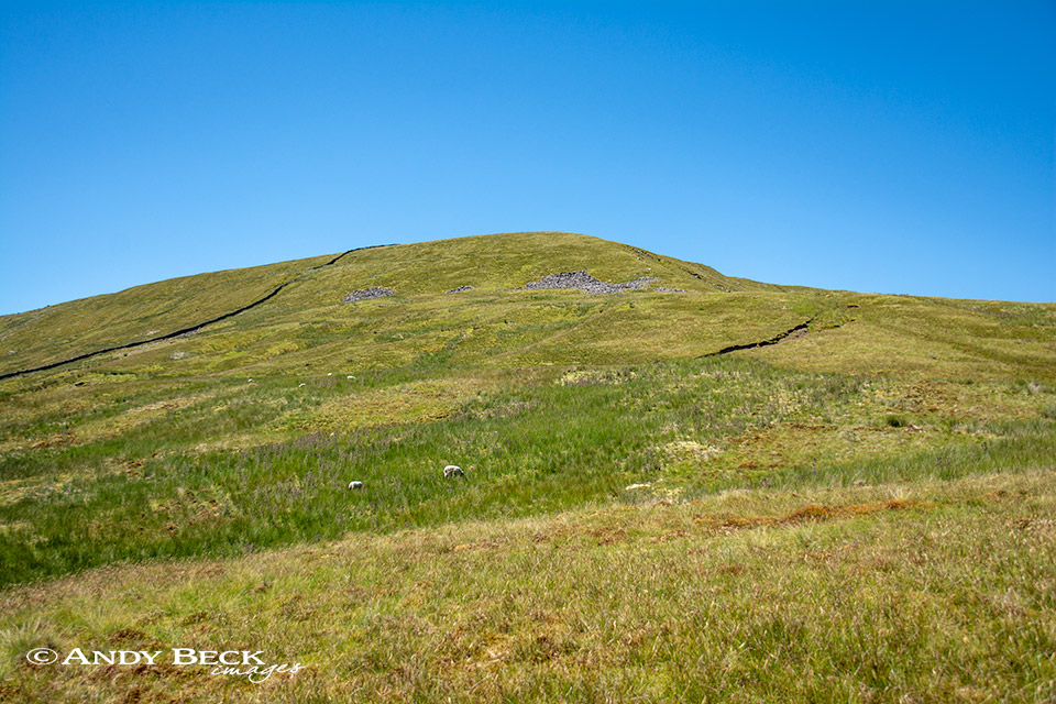
Instead of taking the Wainwright route up to the summit of Great Coum via the County Stone and Gatty Pike we opted to make a more direct approach by heading up this broad ridge to the top. Our treat for the day was provided as we ascended the ridge, we watched a family of 5 Peregrines skydancing against the pure blue sky, memorable to watch.
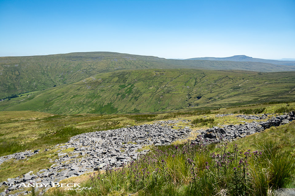
We took out time, it was too warm to rush about. Behind us we could see hoards of walkers along the skyline on Whernside, the high ground on the left here. We guessed it was some sort of charity 3 peaks event, a tough day for it.
There are a couple of outbreaks of limestone on the slopes of the fell, breaking up the short tussocky grass. There is no footpath here, we made our own route, in my opinion the best sort of walking.
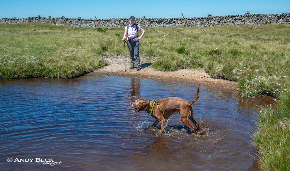
Great Coum summit plateau has several tarns. An ideal place for Bailey to cool off and go a bit daft- as he does.
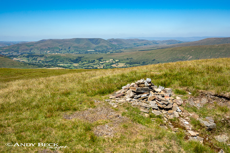
The true summit of Great Coum lies just to the east of the wall which heads off north. This pile of stones is all that remains of the tall cairn illustrated by AW in his guide. It is sited just on the rim of a dip in the ground.
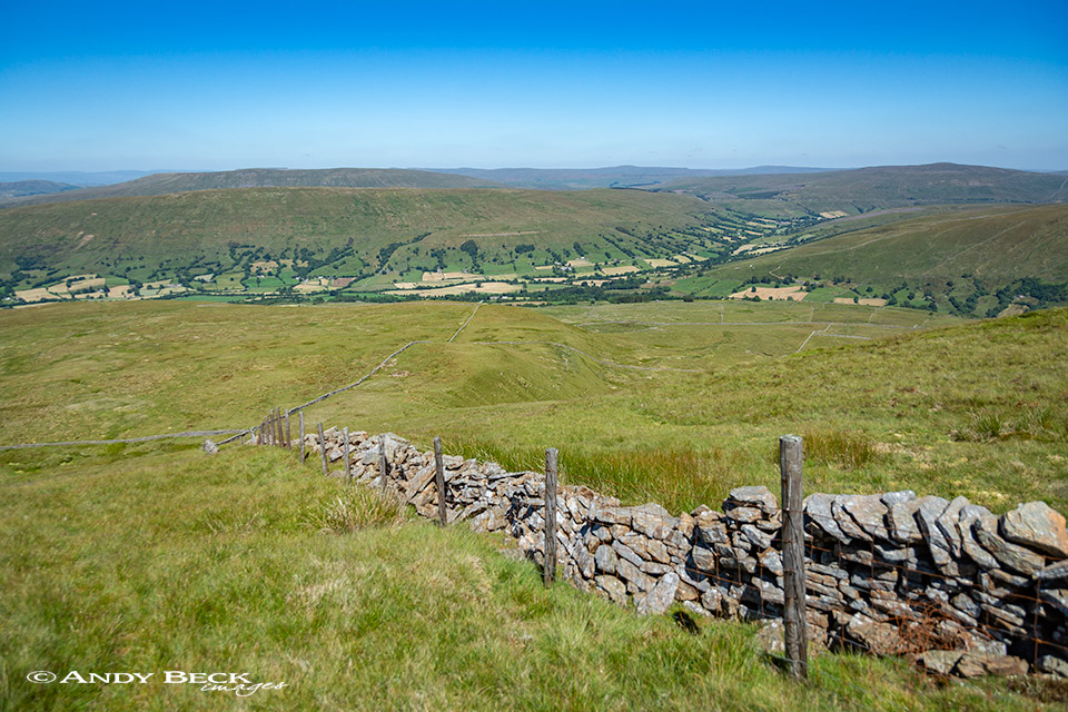
From the summit plateau we began our descent by following the wall which leads off northwards. This route crosses a wall (centre left) and continues north towards Little Combe.
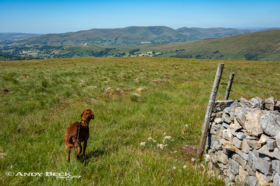
There the wall does a 110 degree to the north west and we followed.
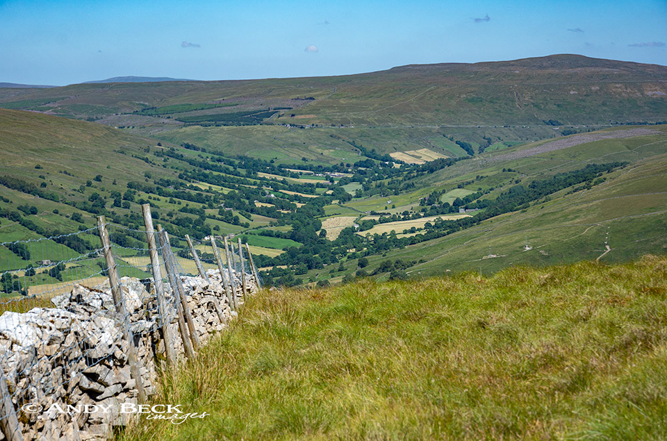
To our east the valley of Dentdale opens out with the line of the Settle to Carlisle line cutting across the distant fell side.
After a few hundred metres the wall right angles to the north east at a corner. Here we leave it, making a beeline in the direction of The Howgills, we were heading to the Megger Stones.
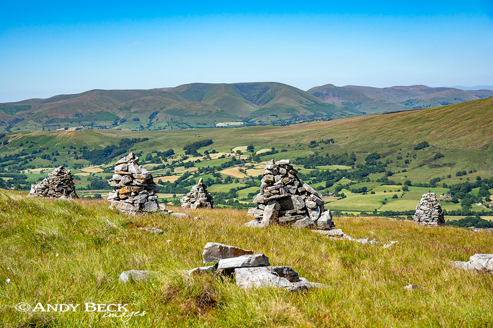
Soon we reach the Megger Stones, a collection of over twelve cairns built from locally available stone. The history of these markers is unclear but they are certainly in a fine location.
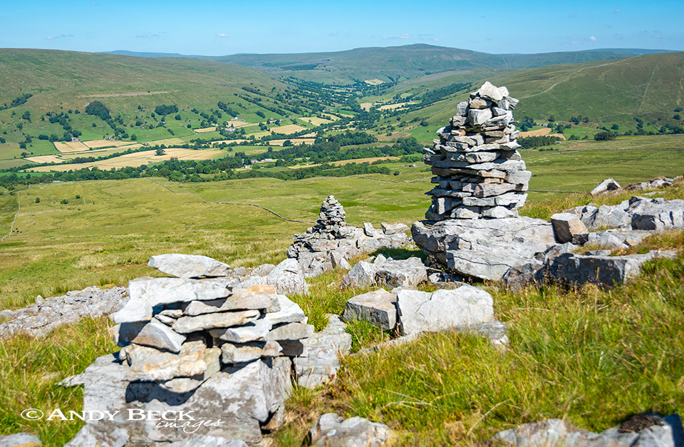
Some are tumbled down….whereas others are almost pristine. Groups of cairns like these are not uncommon in these parts. Similar structures can be found on Grisedale Pike (Howgills), Wild Boar Fell, Fell End Clouds and most famously perhaps on Nine Standards Rigg.
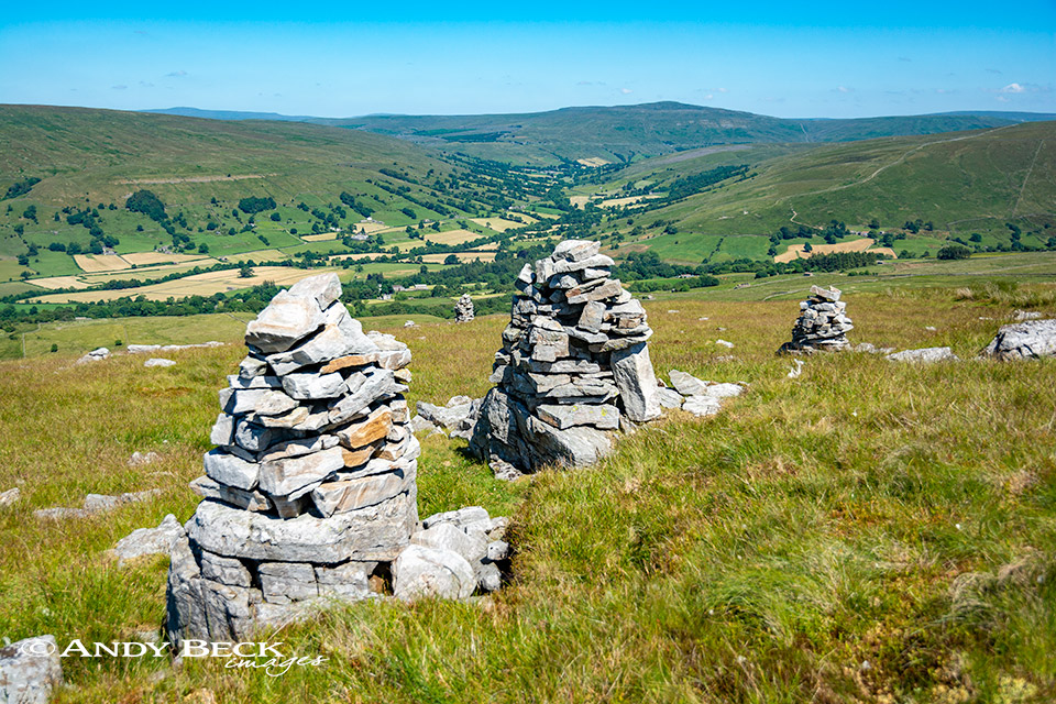
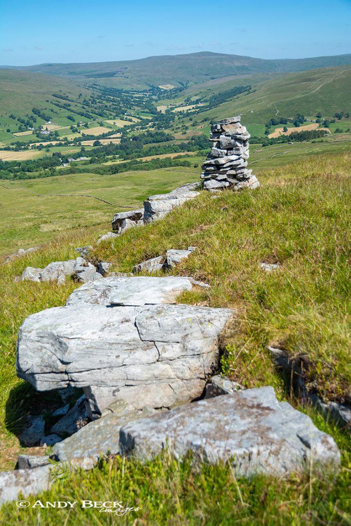
Whatever the reason they make for excellent subject for both painting and photography.
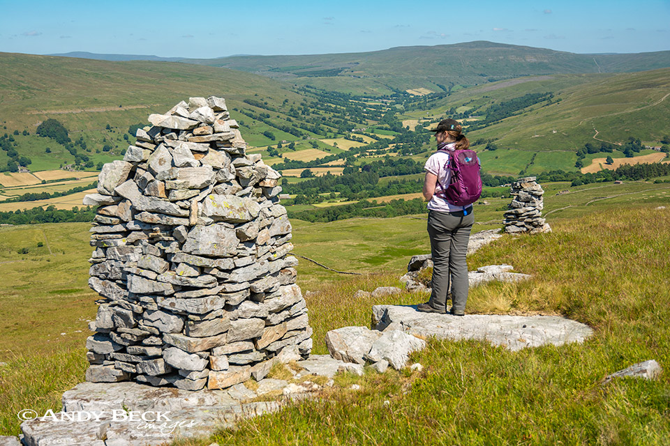
After we lingered here for a while it was time to move on. It was a straightforward case of heading down the slopes of the hill back down to the Green Lane.

Bailey is keen to get back onto the lane and head off the hill. Once through the gate we headed left on the lane to re-trace out outward route. Back down Flinter Gill to the village.
We took our time on this route today. The weather was too warm to rush things. The landscape and scenery was such that we spent ages just enjoying our surroundings. There is plenty of subject matter here for me to produce sketches and paintings in future. Today the light was far from perfect. Bright sunshine and blue skies do not make the best of conditions for plein air work. I will return.
Thanks for reading.

