A full day walking in Great Langdale. Taking some of the high tops at the west end of the valley that feature in Wainwright’s Book 4, The Southern Fells
On Location: 3rd October 2008
Wainwright Fells: Crinkle Crags, Bow Fell, Esk Pike, Allen Crags, Rossett Pike
Parking: Pay and display parking at The Old Dungeon Ghyll Hotel.
A Langdale Classic. This long day out on the fells was undertaken so that Andy could collect as many references for the Wainwrights in Colour project as possible. This post illustrates some of the complexities of Andy’s Wainwright challenge in painting the Wainwrights. Don’t be put off by the date that Andy walked this route, very little of the land above the intake walls has changed. The route visits 5 Wainwright fell tops and in the right weather it will make a memorable day out.
The camera used at this time was a small Fujipix S5500 with only 4mb. Hence the poor quality of some of the images.
Route map: click on the arrow to play the route. Route files in various formats are available to download by clicking in the Plotaroute.com link at the bottom right.
I was up early and after parking up at The Old Dungeon Ghyll I headed off at about 07.30 in the direction of Stool End. The sun had yet to make an appearance.
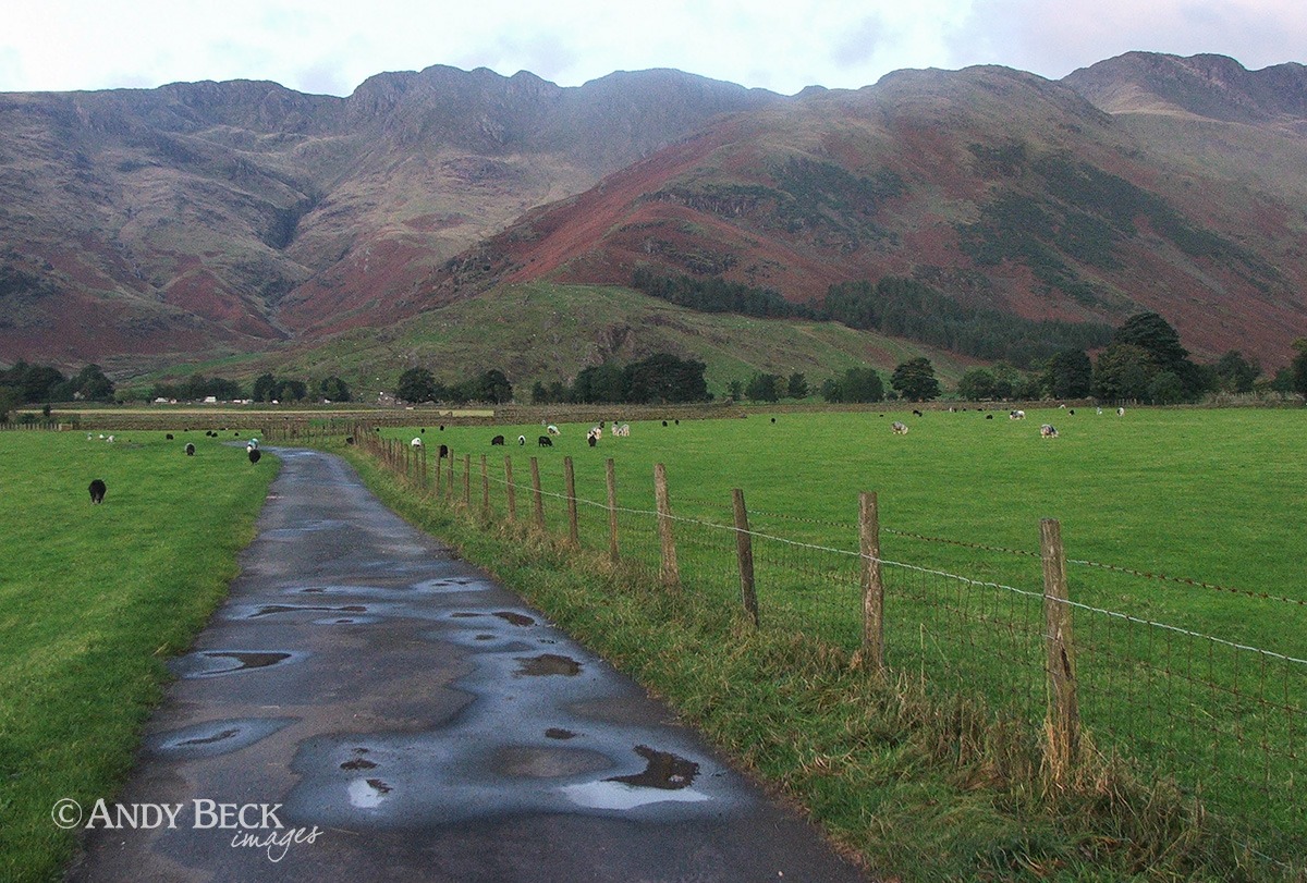
Crinkle Crags, our target for the morning was straight in front of us. The rising ridge of The Band that leads up to Bow Fell is on the right.
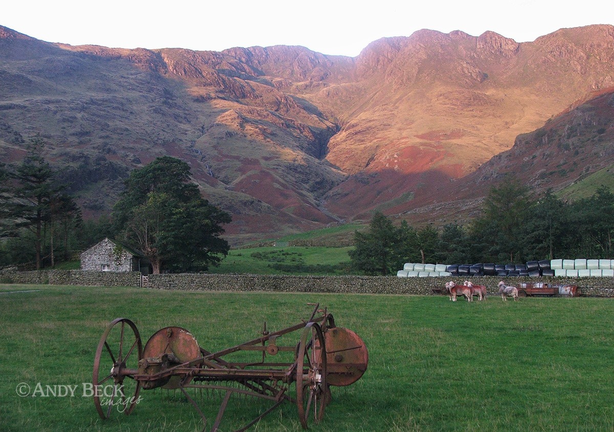
Nearing Stool End the fells are lit by the rising sun.
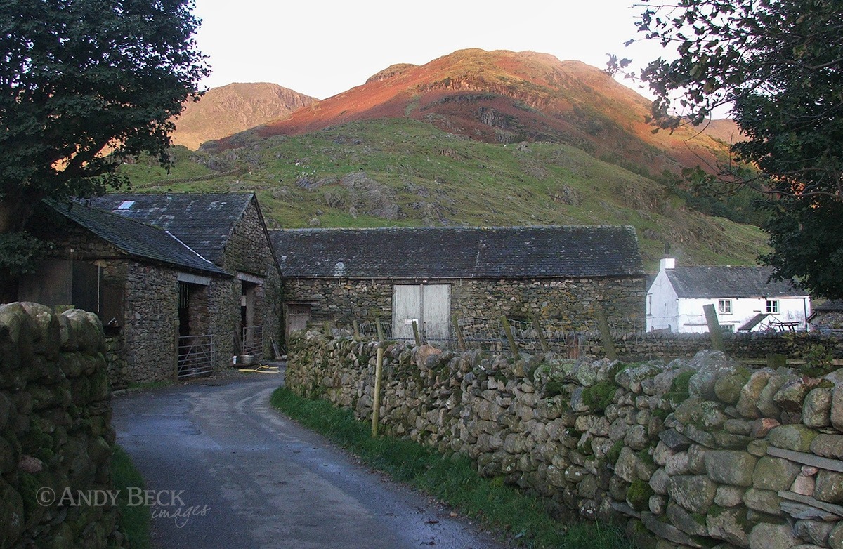
The route takes us through Stool End farmyard.
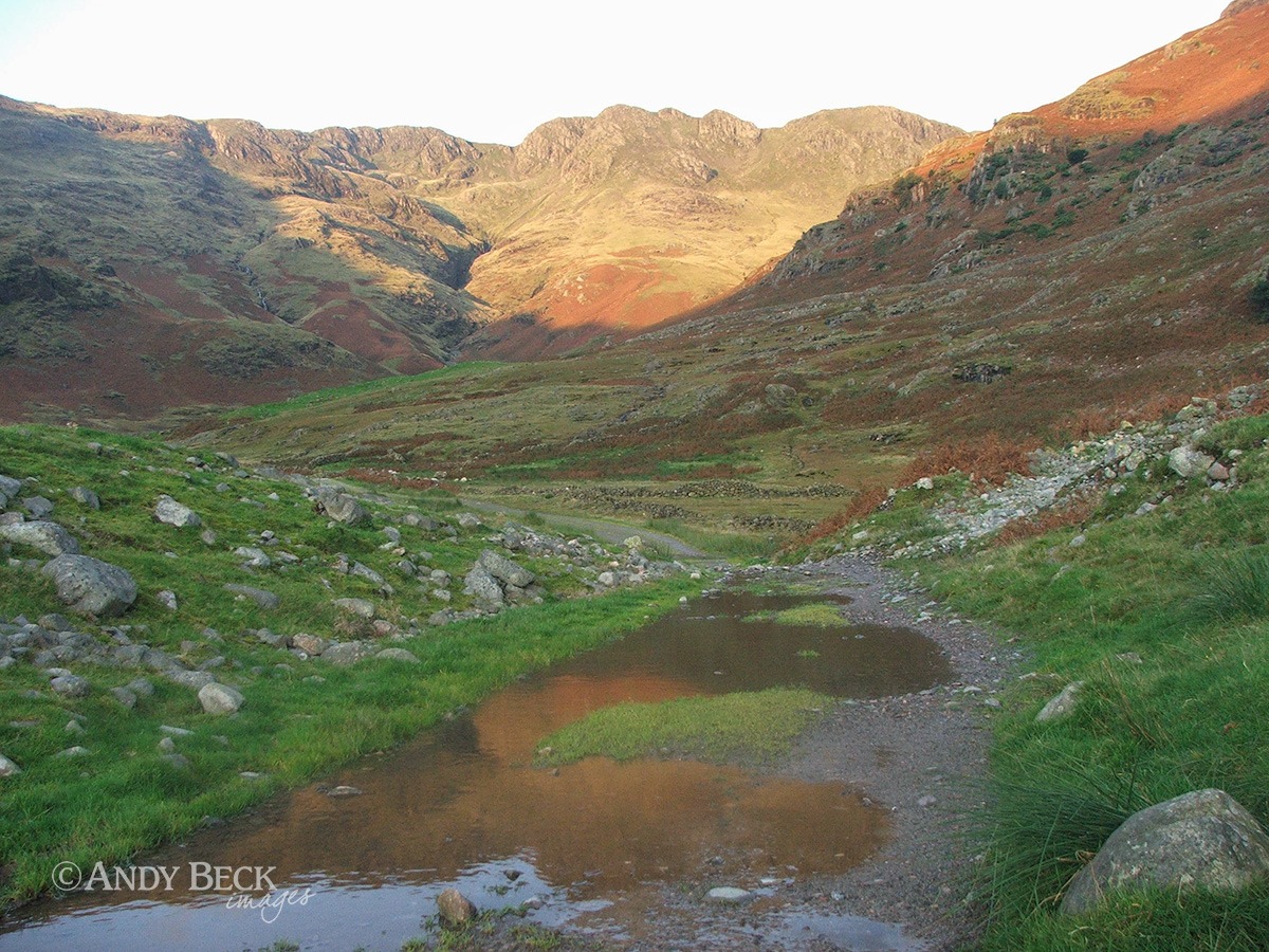
Beyond the farn we follow the footpath that leads into Oxendale.
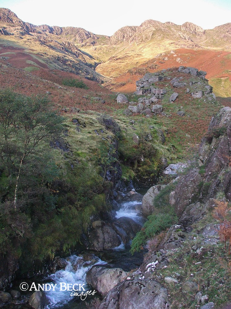
Keeping Oxendale Beck on our left we continue along the track.
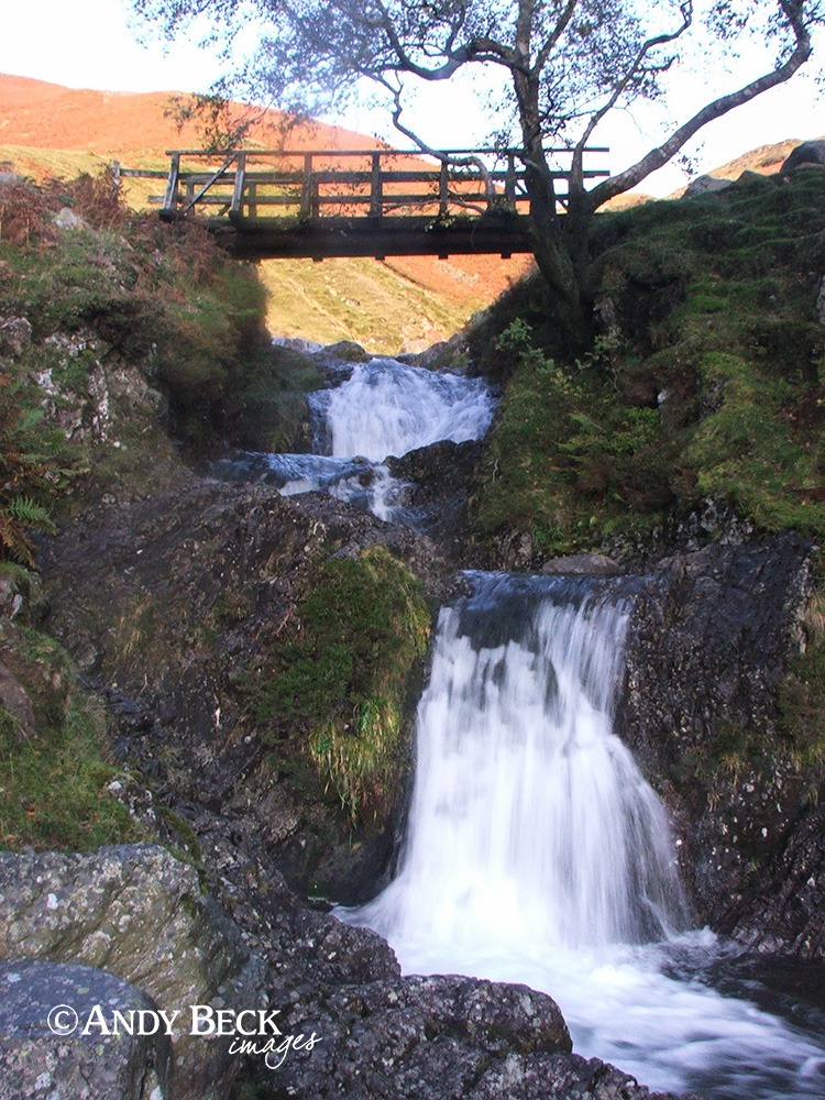
A good footbridge over the waterfalls is our crossing of the beck.
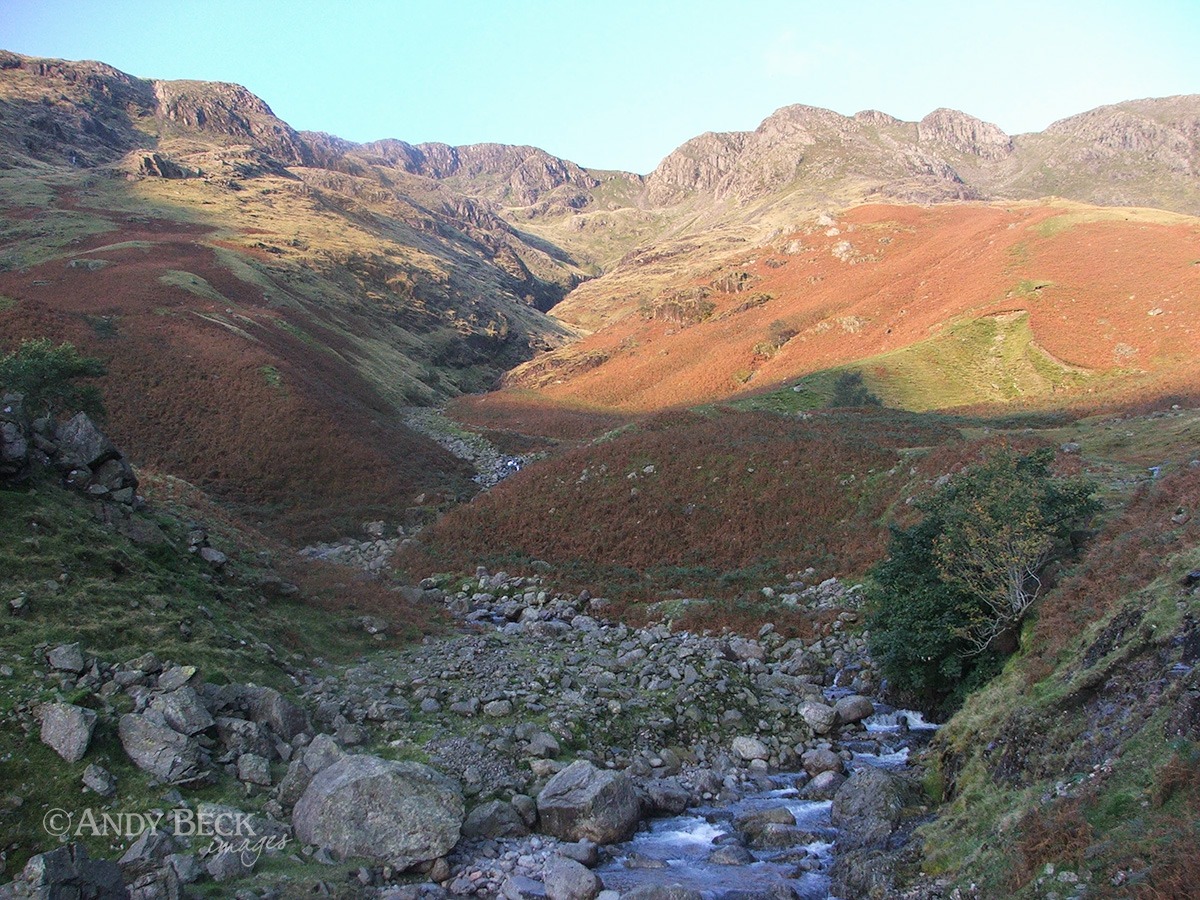
Crinkle Gill snakes down the fellside. But we now turn south to find Issac Gill. There is no defined path from this point, I have to go “off-piste”. This is now fairly regular for me, many of the references that I need are not near popular routes.
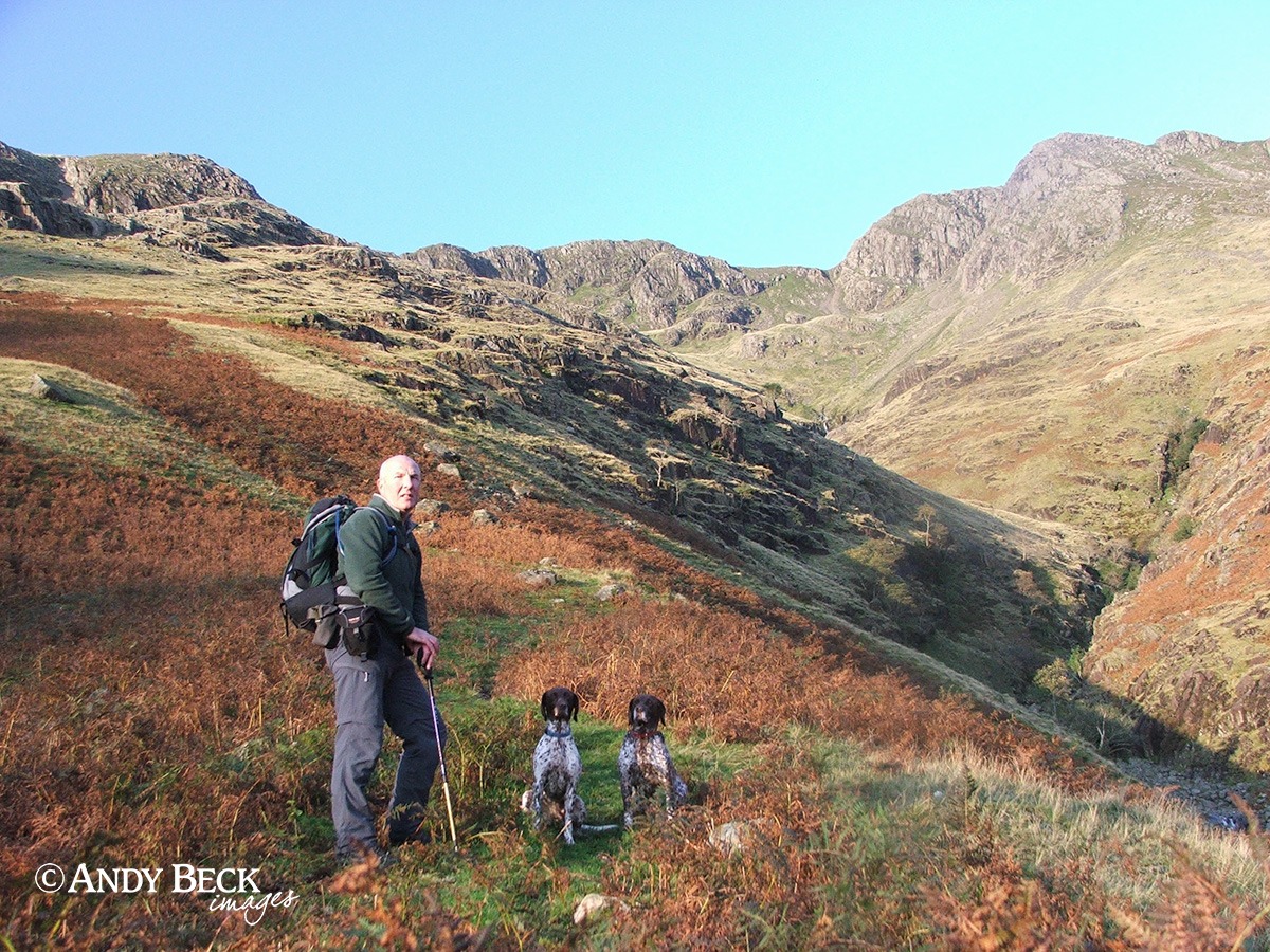
Zoe and Zeta make up the team today.
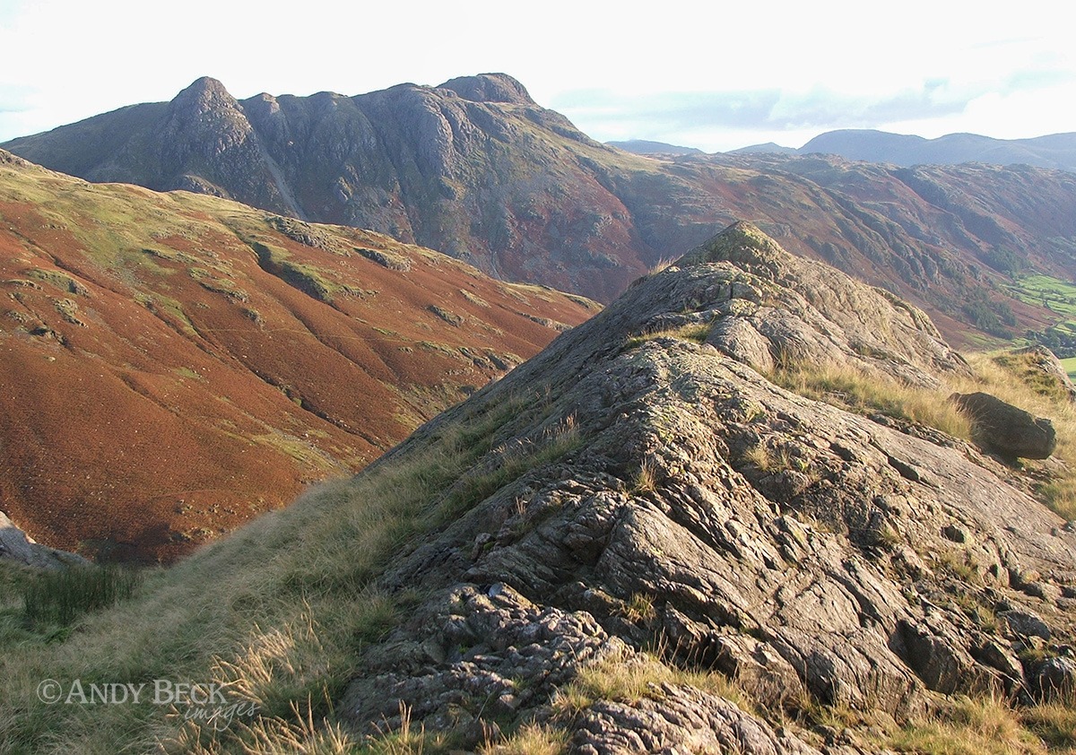
A steady ascent alongside Issac Gill gives us fine view back to Great Langdale.
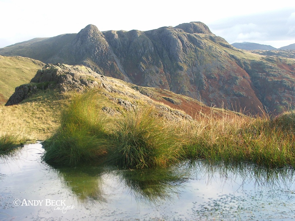
More of a pool than a tarn, we pass this small body of water and look back to The Pikes.
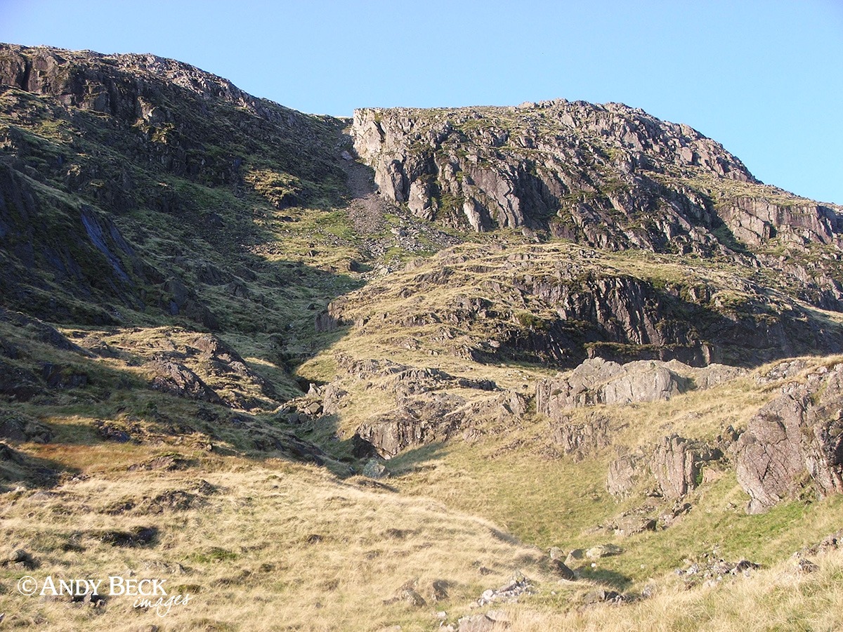
This is where we are heading, Gladstone Knott. Previous visits here have proven to be fruitless in my search for Gladstone’s Finger. However, I am now more aware of the exact location of the pinnacle and we aim directly for the scree gully.
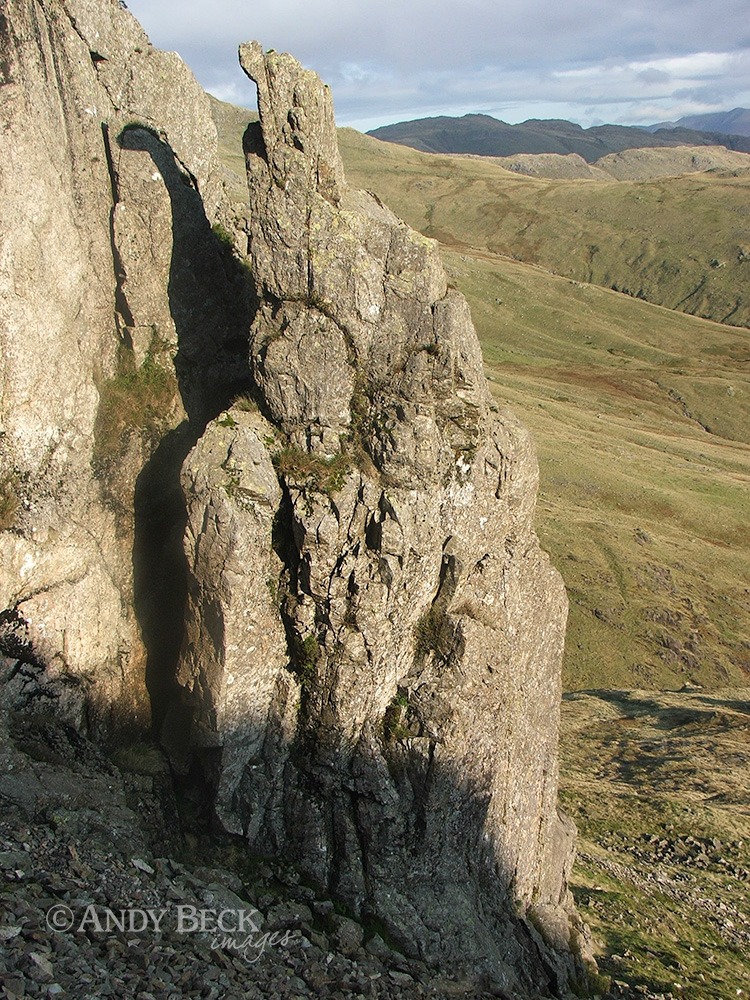
A rough climb up the scree gully brings us up to the base of this named feature. It is not easy to see from below as it blends with the crag.
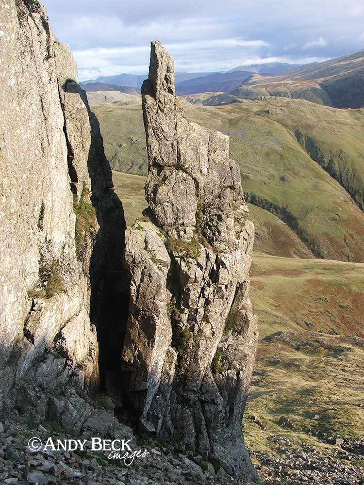
A little higher in the gully and we are in the exact spot where AW stood to get his reference for the fronticepiece for Book 4, The Southern Fells. His drawing is very accurate but for simplicity in the illustration he omits the background. In fact, only by comparing this photograph and his drawing does it clarify that he was looking down on the pinnacle of rock. (See WIC p153) the pen and ink drawing below is a new version for the Lakeland 365 project.
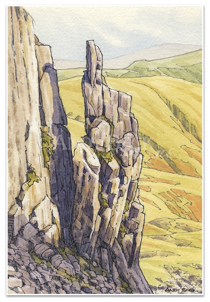
Apparently in years gone by Gladstone’s Finger was a feature admired by hardy visitors to the district who ventured up to the Crinkle Crags to see for themselves this fine pinnacle of rock. The name comes from the four times liberal Prime Minister, William Gladstone. In September 1842 he lost the forefinger of his left hand in a shooting accident. To cover this disfigurement he wore a finger stump. It is unclear who gave this needle of rock the name, or even when but there it is for all to see. Well, almost all.
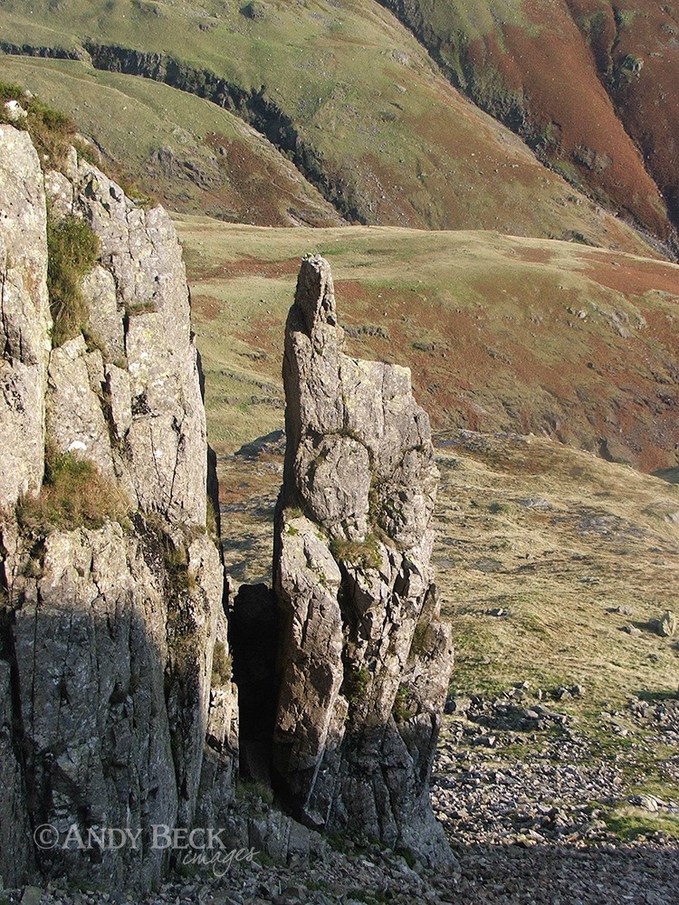
I climb higher up the gully to attain the ridge near the top of Gladstone Knott. It’s a steep climb on rough scree, probably easier to ascend than to descend.
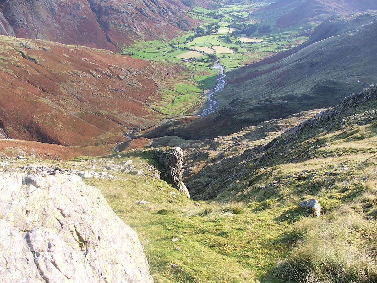
Higher up the scree changes to a sloping grassy rake and the finger is now hidden from view. This is why it is so hard to locate from above.
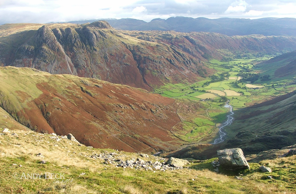
I have now reached the more flat ground. If you are looking for the gully from above you need to locate this large boulder, it is below there. From ths point we head north east along the good path that skirts round the top of Great Cove.
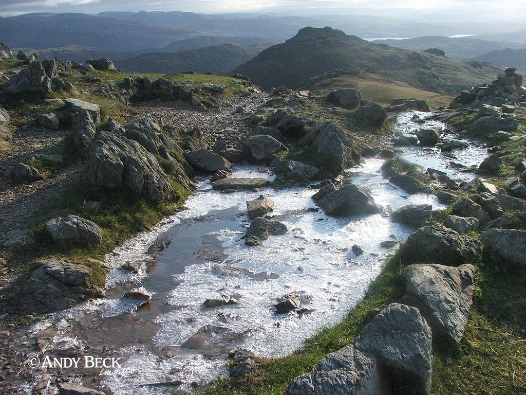
Despite the sunshine there is a real chill in the air, the path still holds overnight frost.
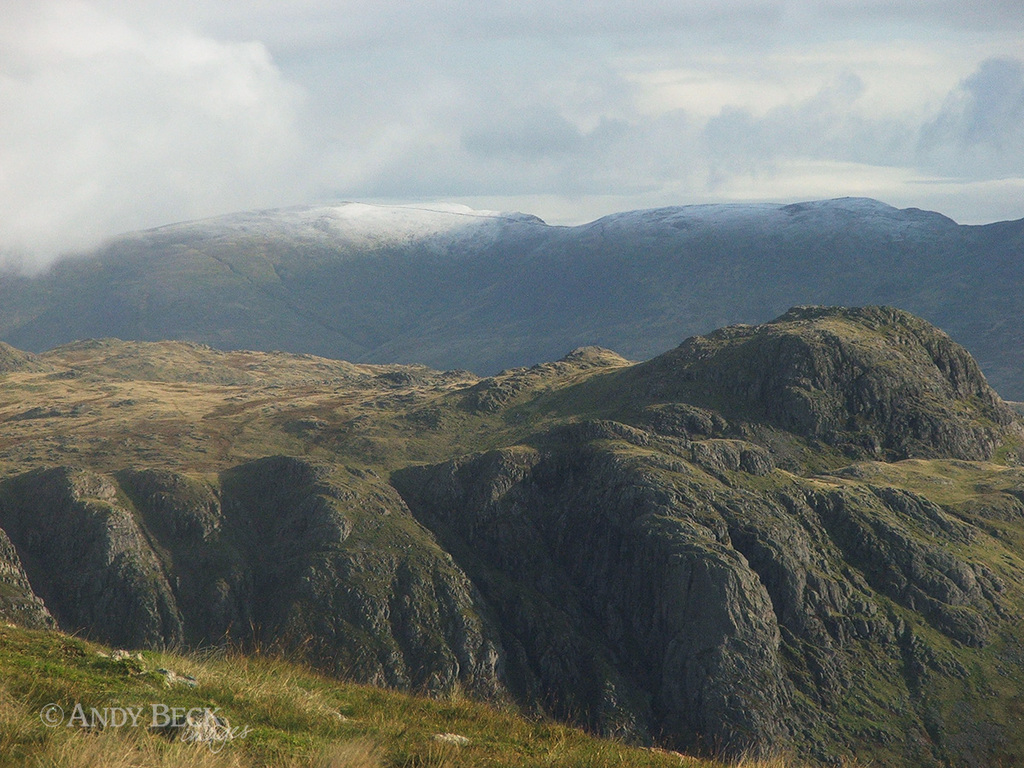
Away to the north east, over the Langdale Pikes, Helvellyn has one of the first covers of snow of the year.
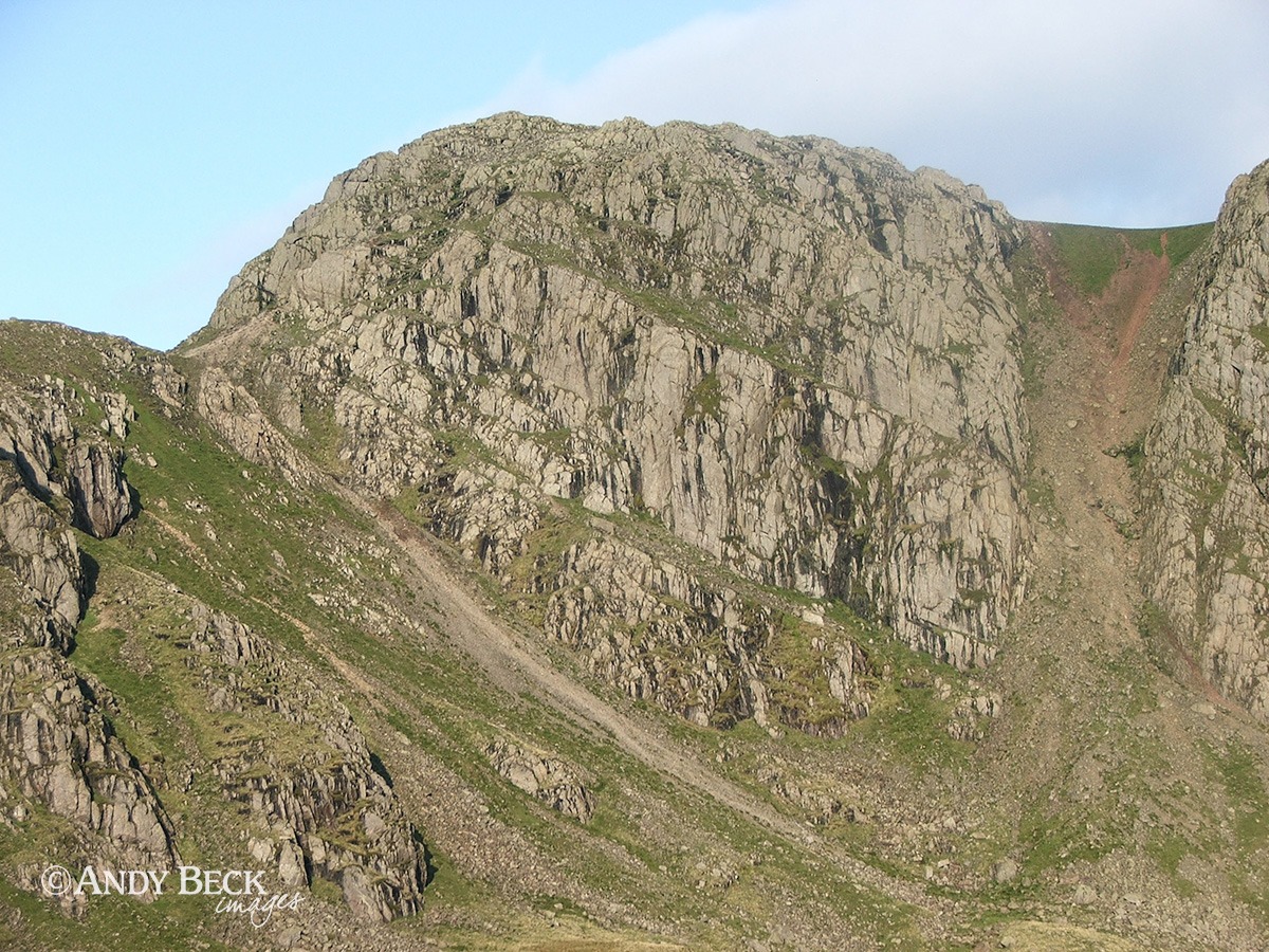
Across the cove is the face of Long Top on Crinkle Crags. Only 6 weeks previously I have been near this location and obtained the required reference for Crinkle Crags 12 so I had no need to linger here.
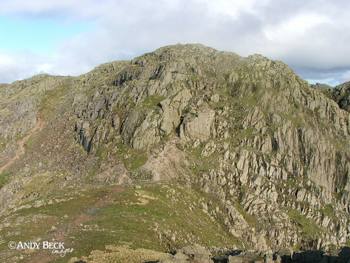
But here, from the first Crinkle I was able to tick off the reference for Crinkle Crags (WIC p166). The notorious “Bad Step” can be seen here as a dark shadowed area central to the photograph. To avoid this hazard we will be skirting round the buttress on the left.
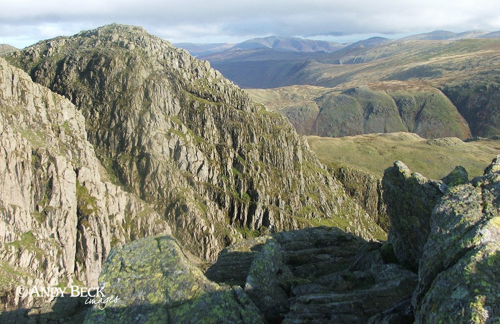
Looking slightly right from the same spot to the third Crinkle (if you are travelling south to north) from the main top. The large gully of Mickledore is hidden from view.
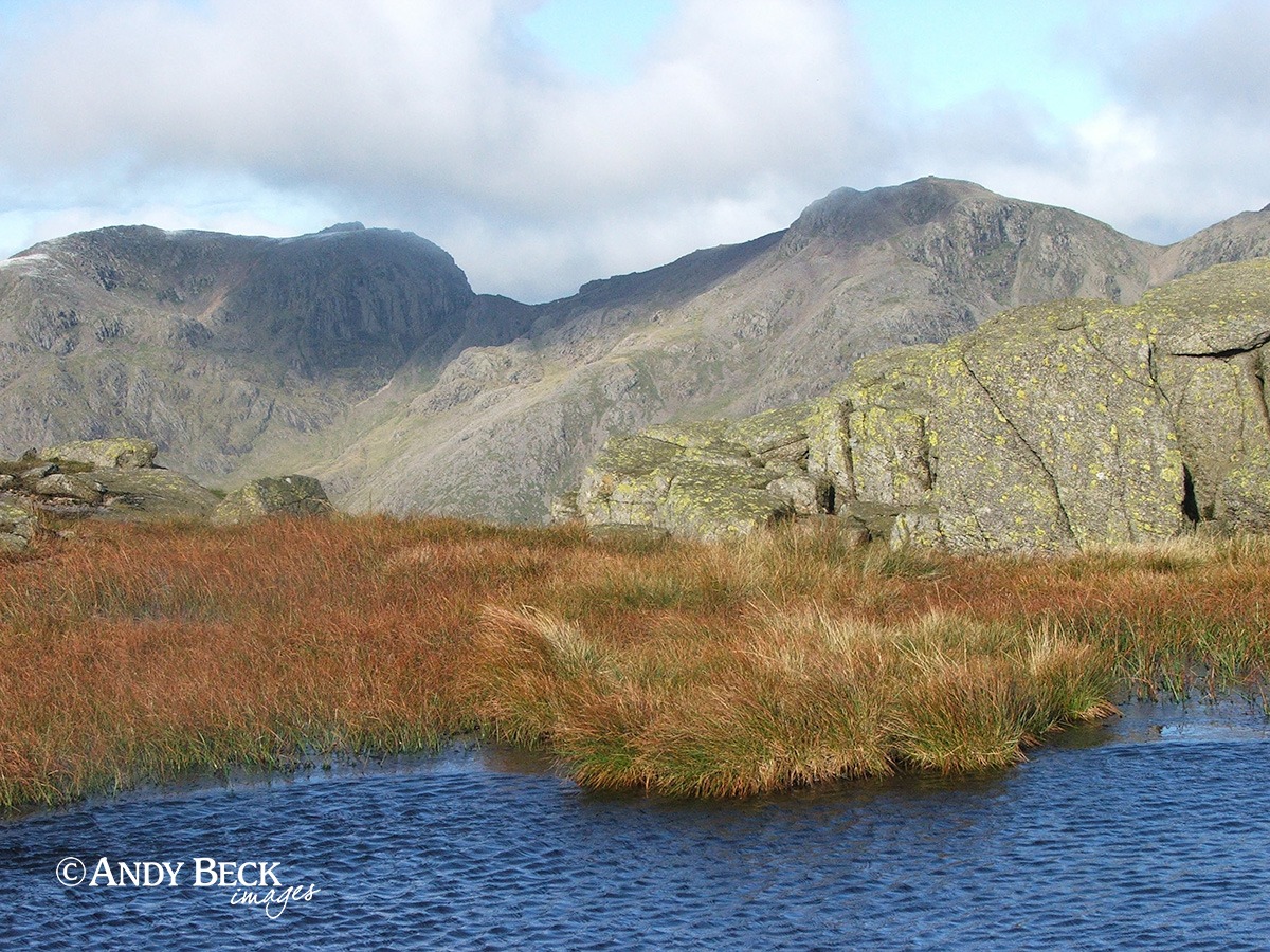
Our route takes us past the tarn on Long Top. At 850m one of the highest (if not the actual highest) body of water in the country (Broadcrag Tarn 829m, Foxes Tarn 823m)
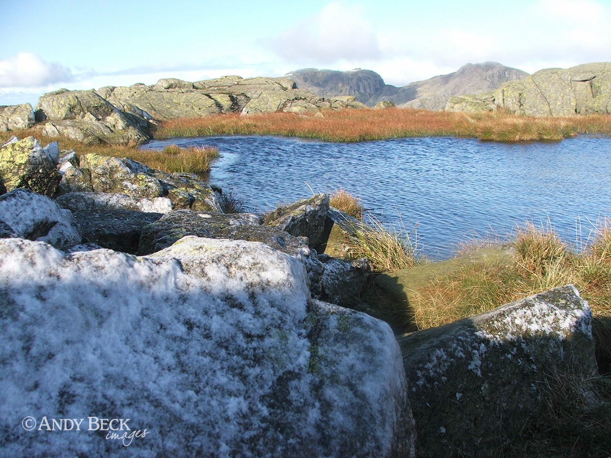
Ice encrusts the rocks at the water’s edge.
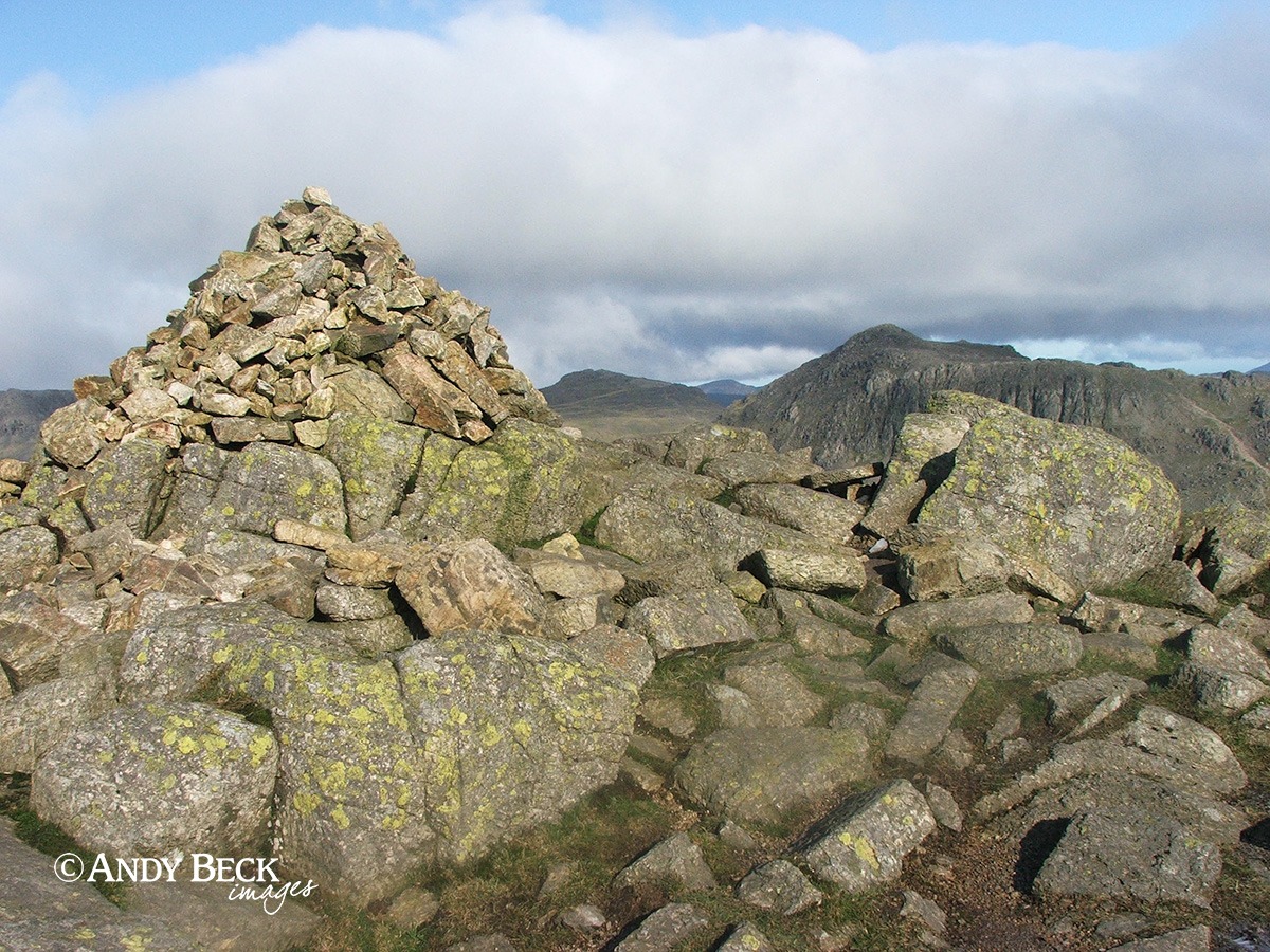
The summit cairn on Long Top, the highest of the Crinkle Crags. This reference from Crinkle Crags 15 was easy to align as the boulder on the right is in the same place. See WIC p166. From the summit cairn I had to locate to my next reference.
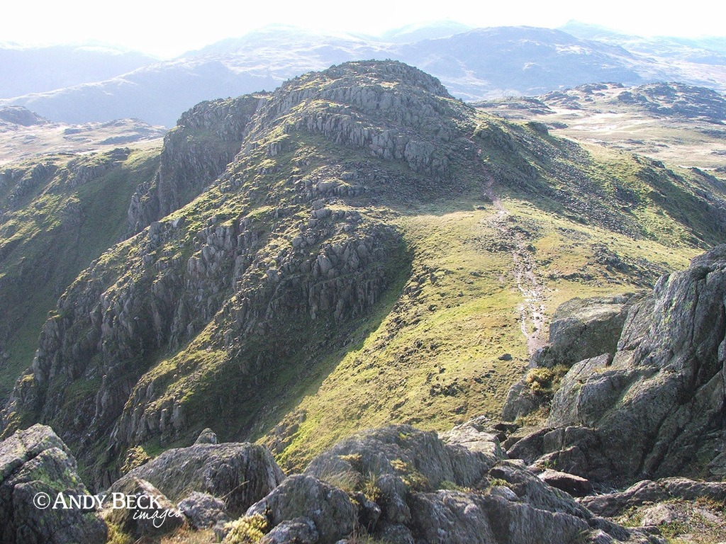
Wainwright’s view of The Fifth Crinkle (if you are walking the ridge north to south). This location is from just above the Bad Step and looking back to the top that we have just traversed. See WIC p166 for the sketch.
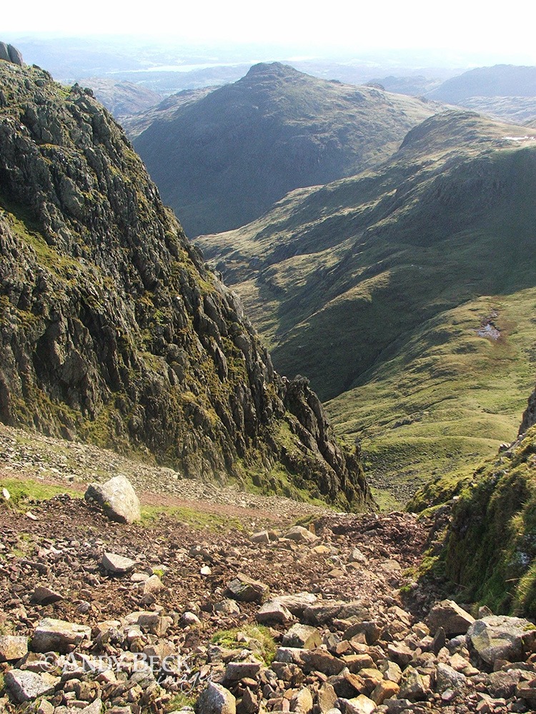
We continued our route, passing by the scree gully of Mickeldore as we did so. Pike o’Blisco in the distance.
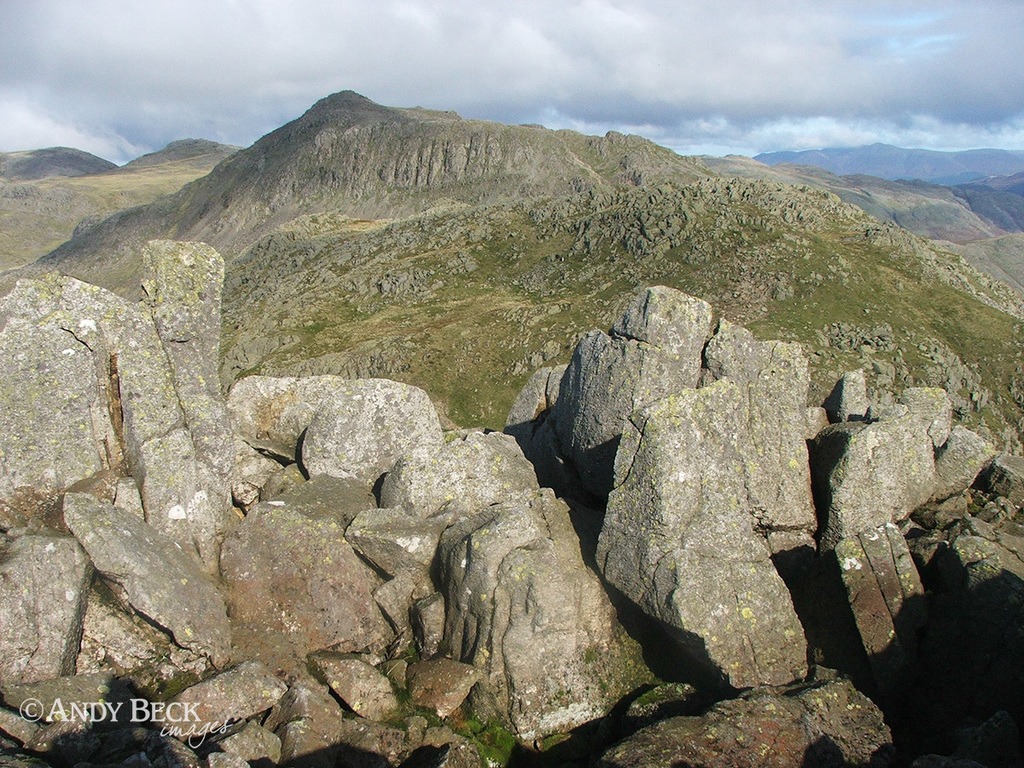
We crossed other tops on the way but this is the view of Bow Fell from the rocky height of Gunson Knott, the fifth and final Crinkle for today.
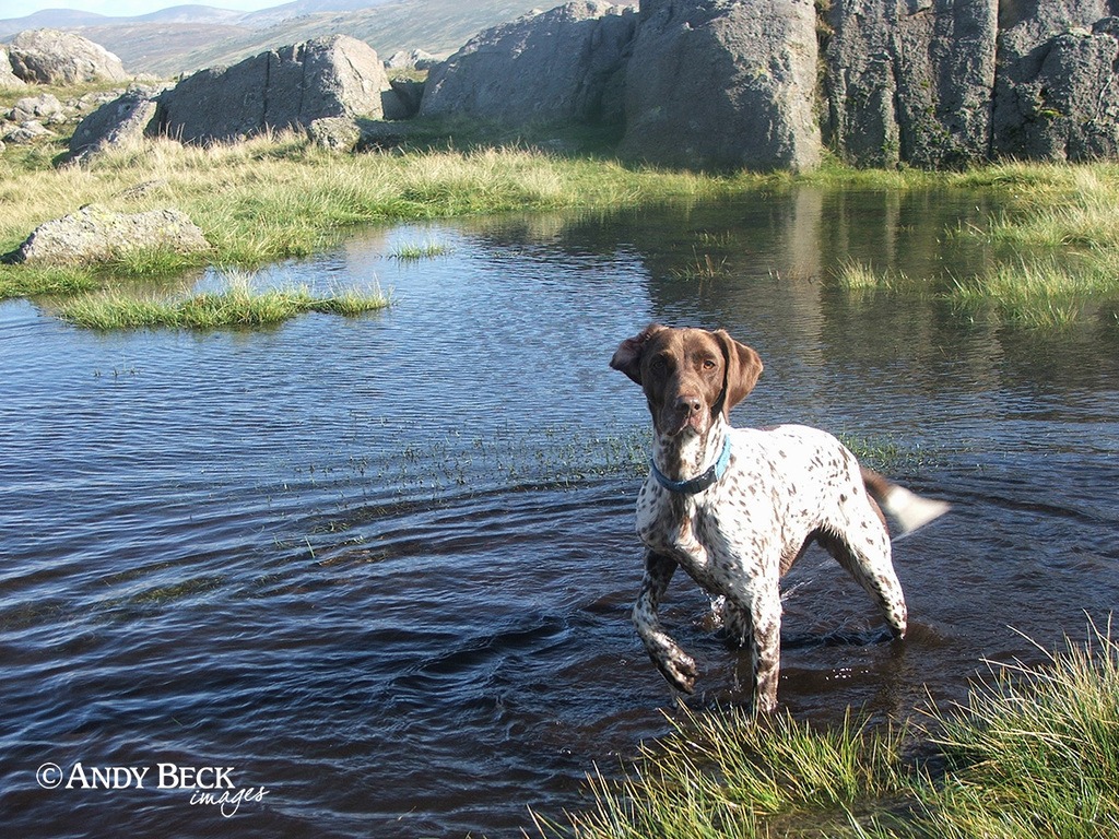
On route to the Three Tarns Zeta takes a dip in one of the many other unnamed tarns in the area.
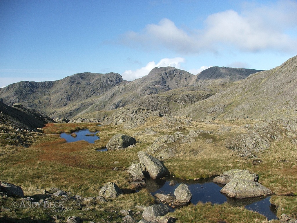
These pools just south of the Three Tarns are also unnamed on the maps but are marked by AW in the guide. Passing by the Three Tarns our planned route for the day means that we now head east down The Band. The intention is to claim some references along the Climbers Traverse. An alternative would be just to ascend directly to the top of Bow Fell.
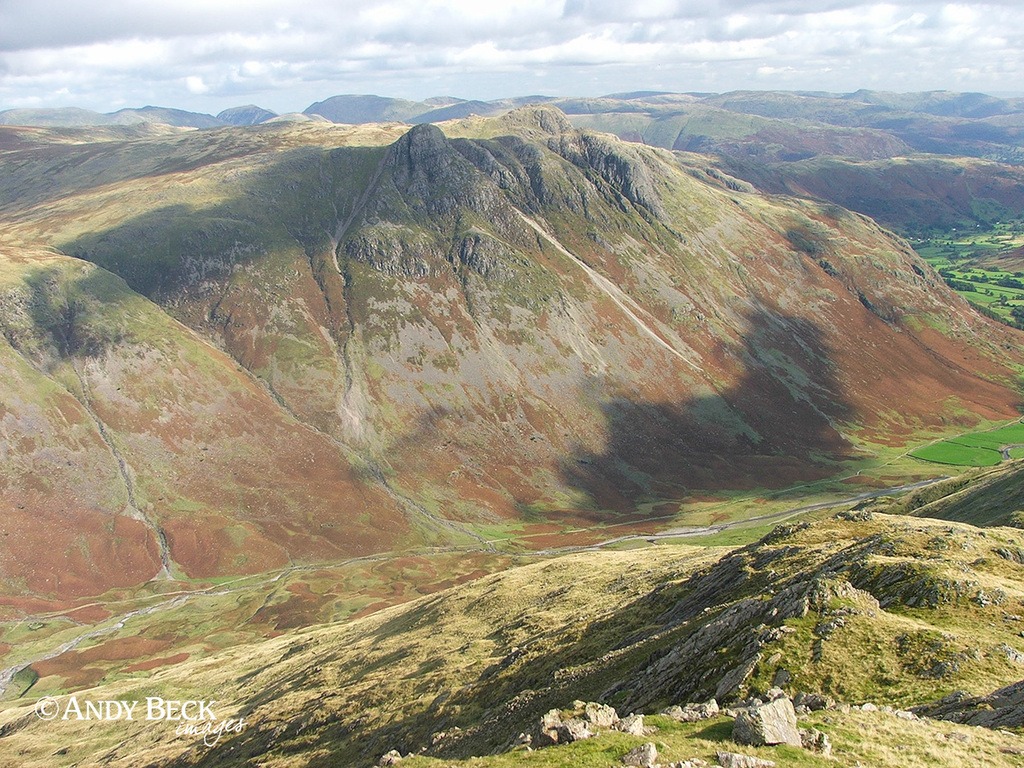
From the top of The Band the Langdale Pikes are well presented, enhanced today by the sunshine and shadows.
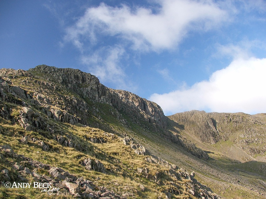
A short distance down the band I could see our intended route over to the left. Again, I went off path, contouring across the slopes to pick up the Climber’s Traverse under Flat Crags.
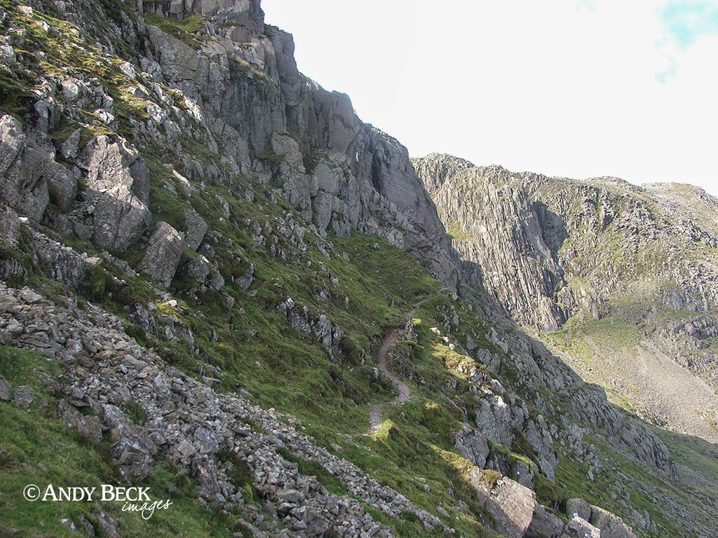
The Climber’s Traverse is a narrow path under the face of Flat Crags. There had recently been a landslip which not only covered some of the path but made the going a little tricky, as had also happened when AW visited. Care was needed as I took this reference shot for Bowfell 6. See WIC p157.
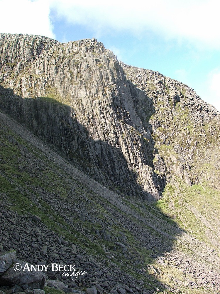
The Climber’s Traverse takes you to some real mountain scenery. Bowfell Buttress ahead, well known to climbers, it features a 110m V. Diff climb, apparently one of the best buttress routes in the Lake District.
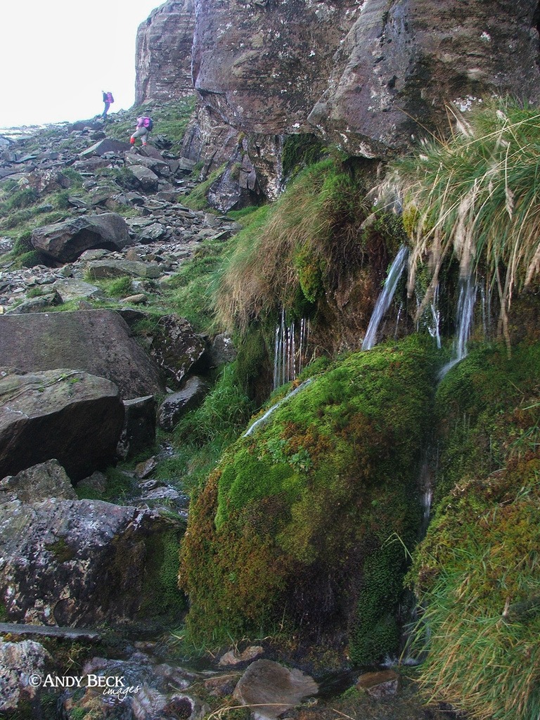
Right alongside the narrow path is The Waterspout as marked by AW. Directly underneath Cambridge Crags. A great source of clear fresh water. Our route will now take us up to the left where you can see other walkers in front of us. (The first people we have seen all day) A rough path climbs up the side of the Great Slab.
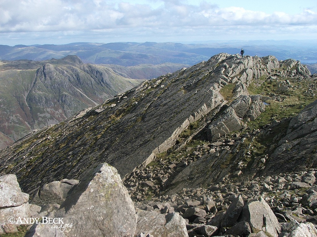
I climbed up above The Great Slab to obtain my reference for Wainwright’s double page illustration (one of only three in all of the Pictorial Guides). By pure luck, a walker was standing at almost the same location as the figure in his drawing. I hastily took the photo for use in my sketch. WIC p159.
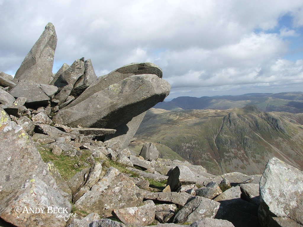
Heading up towards the summit of Bow Fell I re-visited these impressive large fingers of rock. They are lacking a sense of scale in this photograph but in the back of my mind they will make a great subject for a painting.
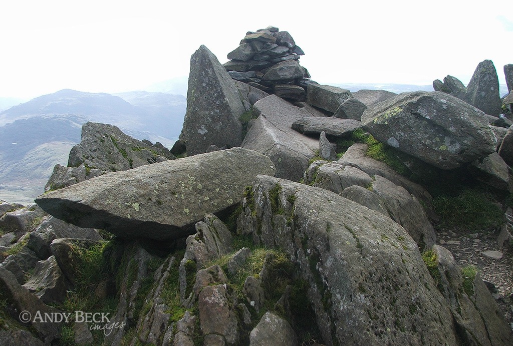
Soon we reach the summit of Bow Fell and the neat little cairn. This was the reference I needed for Wainwright’s summit illustration. In the intervening years a large boulder has entered the scene. See WIC p158 for the sketch and explanation of the view.

It is a stunning view of Upper Eskdale and the Scafell Pikes from the summit.
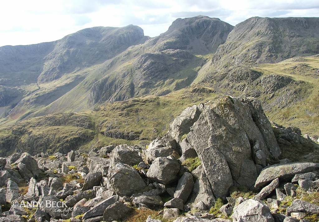
In my opinion this must be one of the best views for the Scafell Pikes.
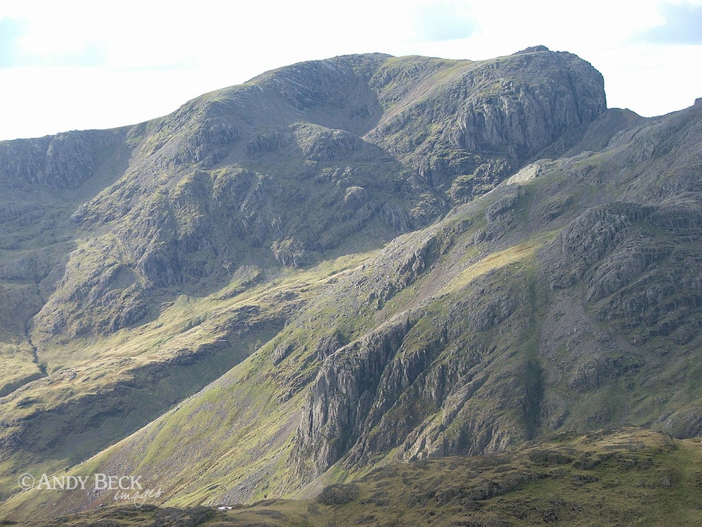
And zooming in to Scafell with all it’s rugged details.
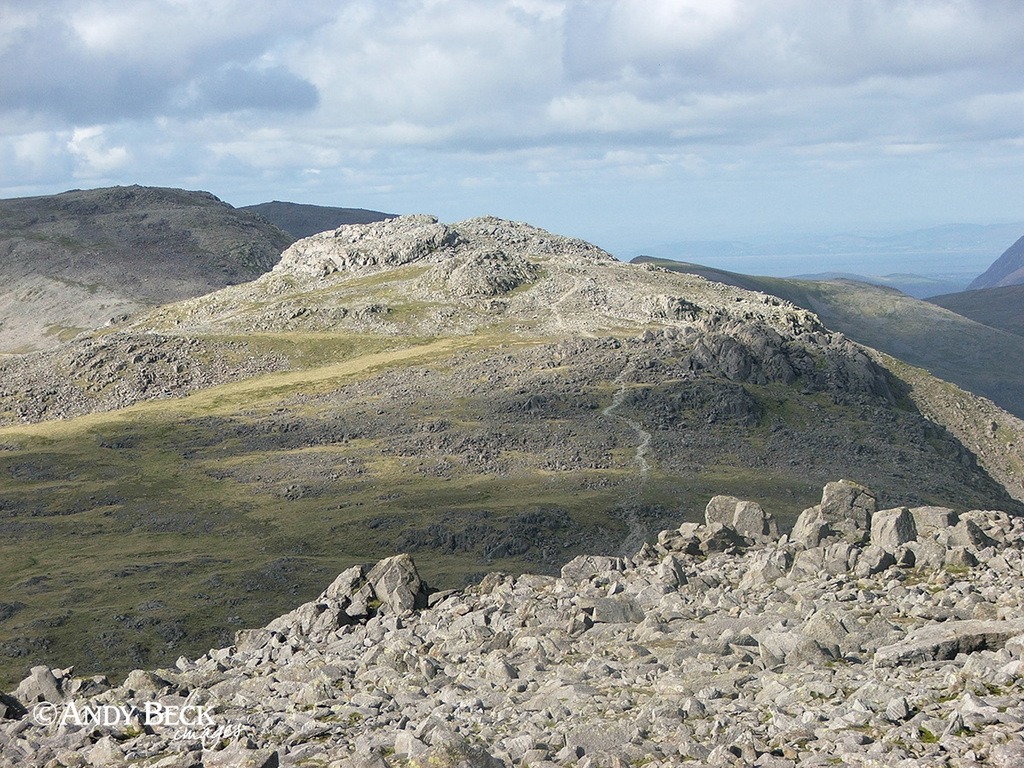
Moving on to our next location, Esk Pike. We follow the good path on to it’s summit.
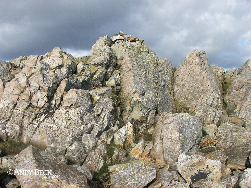
Esk Pike summit as seen from AW’s point of view, Esk Pike 11 (WIC p169). A rocky summit with fine views over Eskdale.
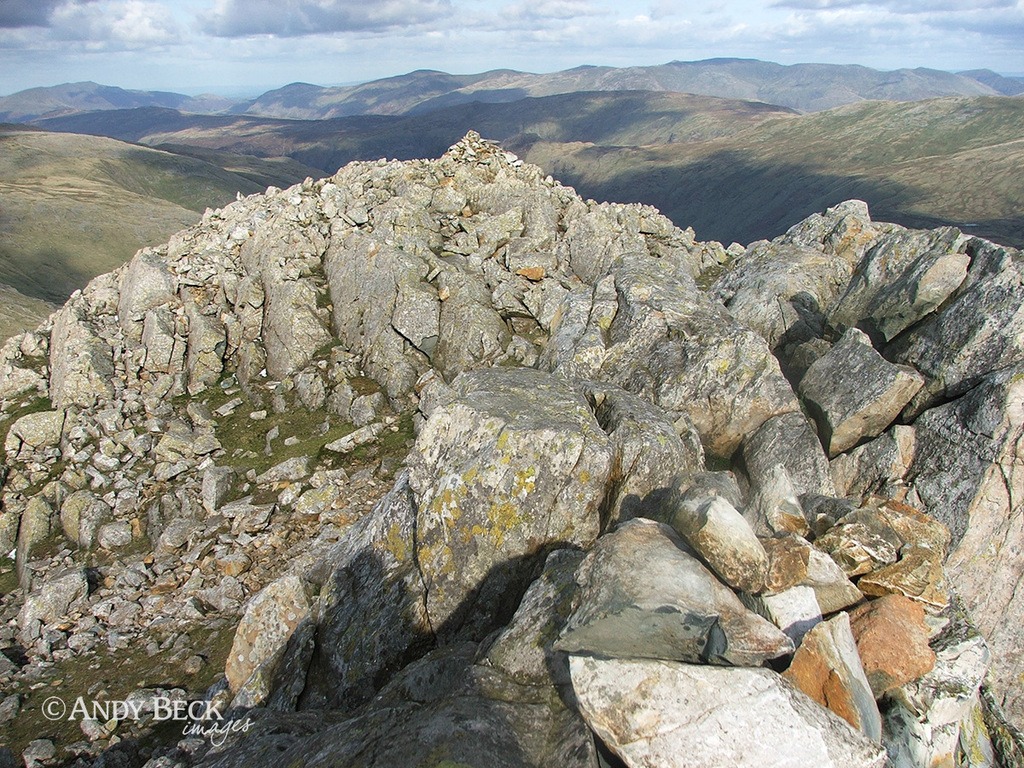
Standing on the very top with the summit cairn at my feet looking north east along the outcrop of rock. Another cairn a short distance away can be seen. It is at the same height but we are at the “Wainwright” and “true” summit.
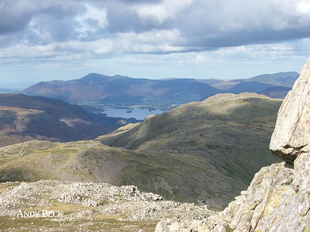
The view to the north showing Allen Crags, Glaramara and the Skiddaw group.
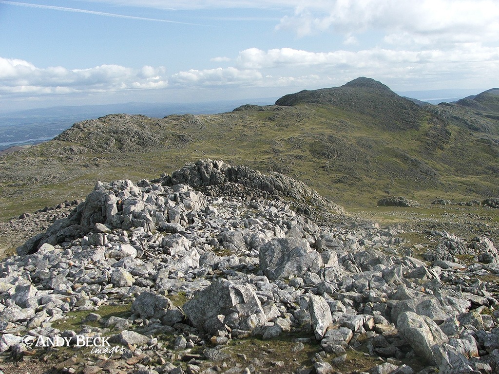
South west is the aspect of Bow Fell. We leave the summit to the north west.
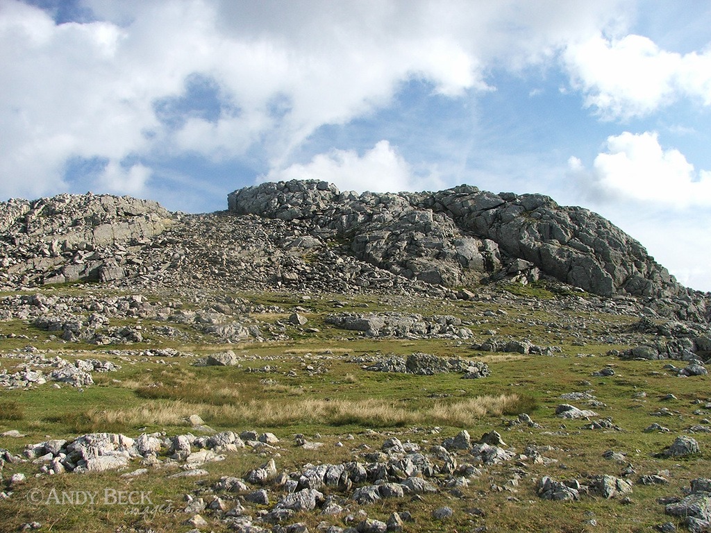
Looking back at the summit from the top of the north buttress (Esk Pike 11), a sketch portrayed on WIC p169.
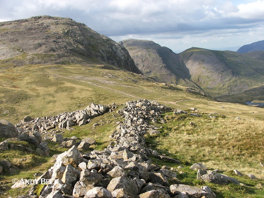
Esk Hause is the pass that lies ahead. A well used crossing point of several paths and familiar to those heading to Scafell Pike which is off to the left. This pass links Borrowdale to Eskdale.
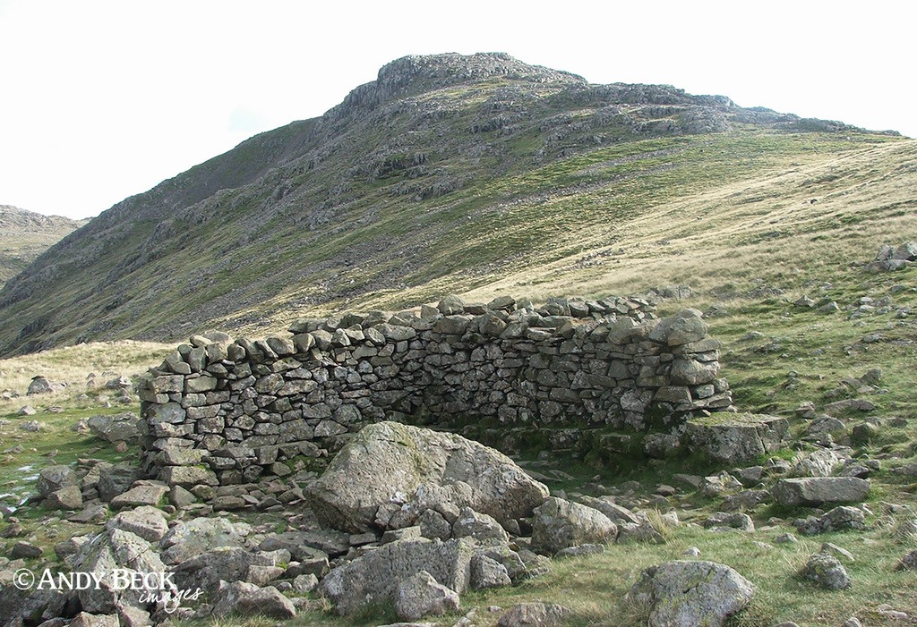
We descend past Esk Hause to visit the wall shelter at the lower pass which joins Langdale to Wasdale. Another reference in the bag. (See WIC p169). From here we could easily head directly down into Langdale but I have to take advantage of my hill days and it was only 3.30pm. From here it is only a short walk of a couple of hundred metres to the top of Allen Crags, so off we went.
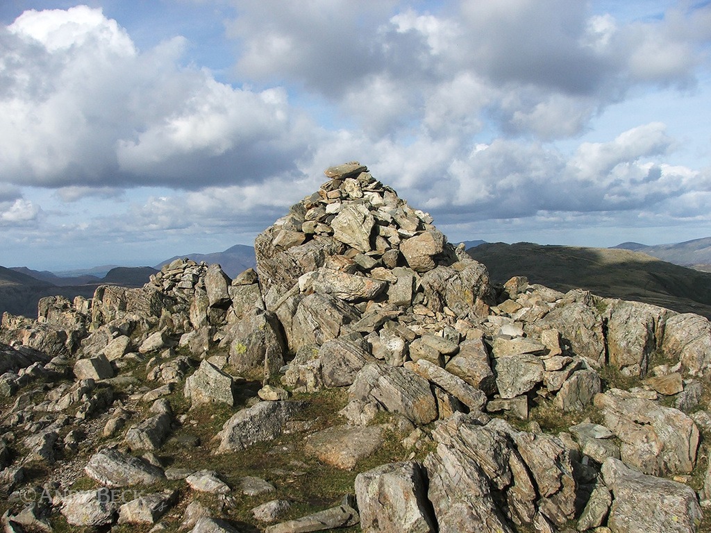
The two cairns of Allen Crags summit. Compared to AW’s drawing (Allen Crags 5) the rear cairn has been robbed of stones to enhance the near cairn. (See WIC p154)
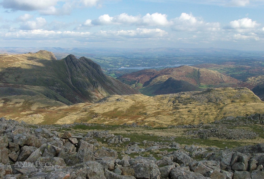
The view to the south east provides a grand aspect of the Langdale Pikes, Rossett Pike and Windermere. Even Ingleborough at 60km/37miles away can be seen on the skyline. I had a few more references to obtain before leaving Allen Crags so I took a wander to the north western side of the fell.
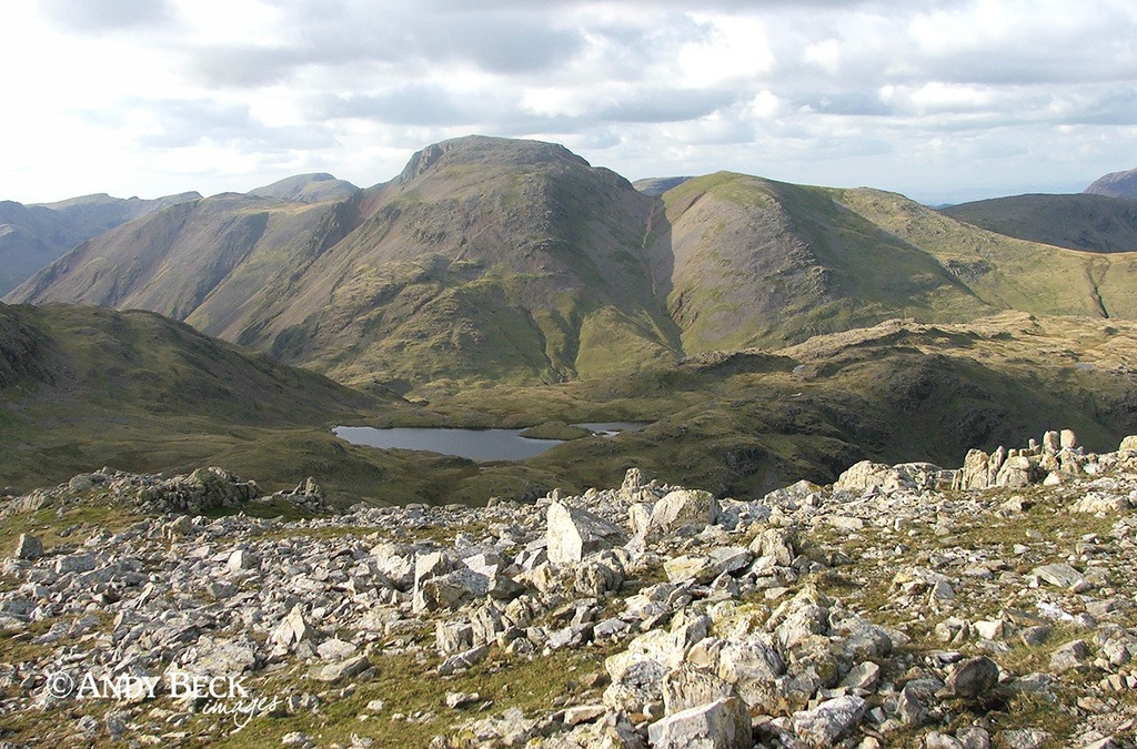
In instances like this I wander with a purpose, Pictorial Guide in hand, comparing the landscape in front of me to the drawings. On numerous occassions kind walkers ask if I was lost and needed assistance. A simple explanation clarifed my purpose but I am sure that many of them thought that I was mad. But like the photo of Sprinkling Tarn and Great Gable above, the wandering paid off. (See WIC p154)
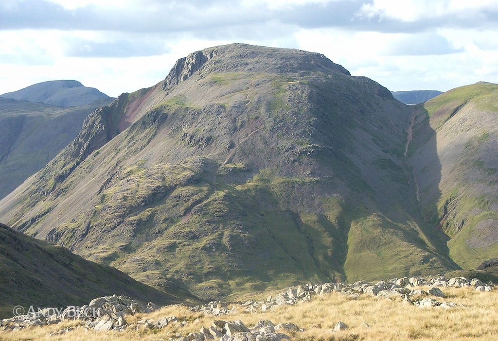
This location provides a fine view of Great Gable and Windy Gap.
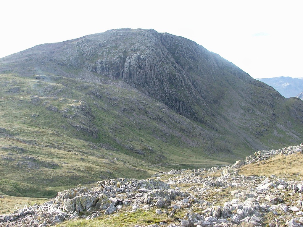
As well as the craggy face of Great End. I return to the wall shelter and pick up the path to Langdale.
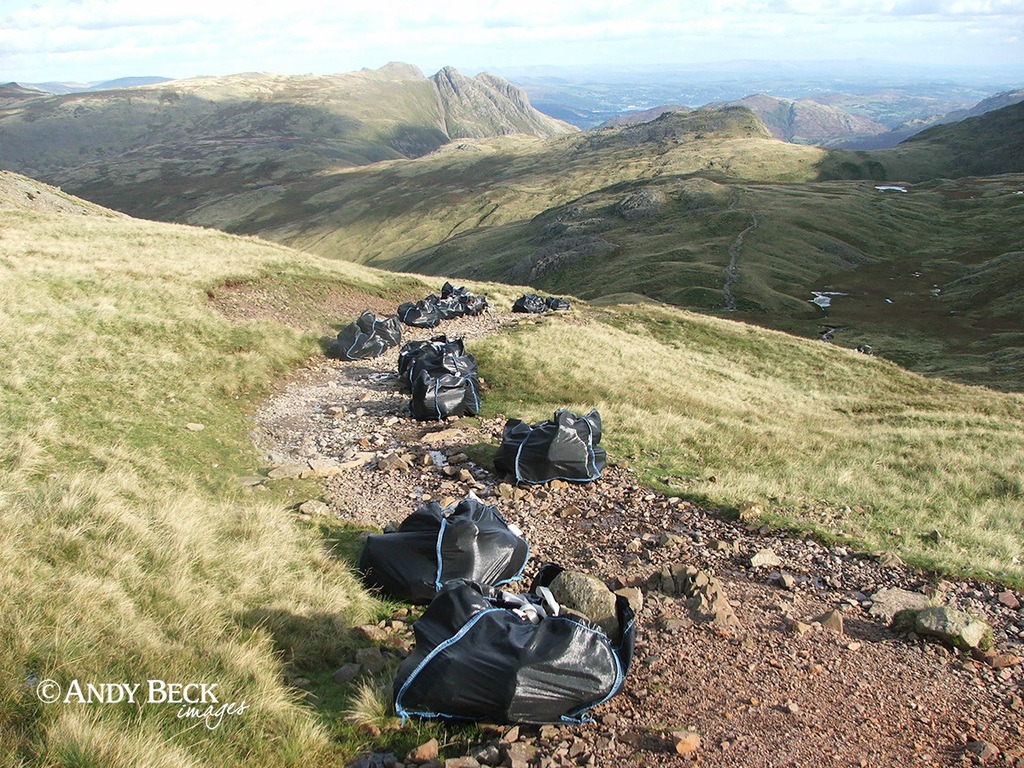
The popular route is undergoing repairs to prevent further erosion. I knew time was of the essence if I was going to obtain more references today so we stepped out to the top of Rossett Pike.
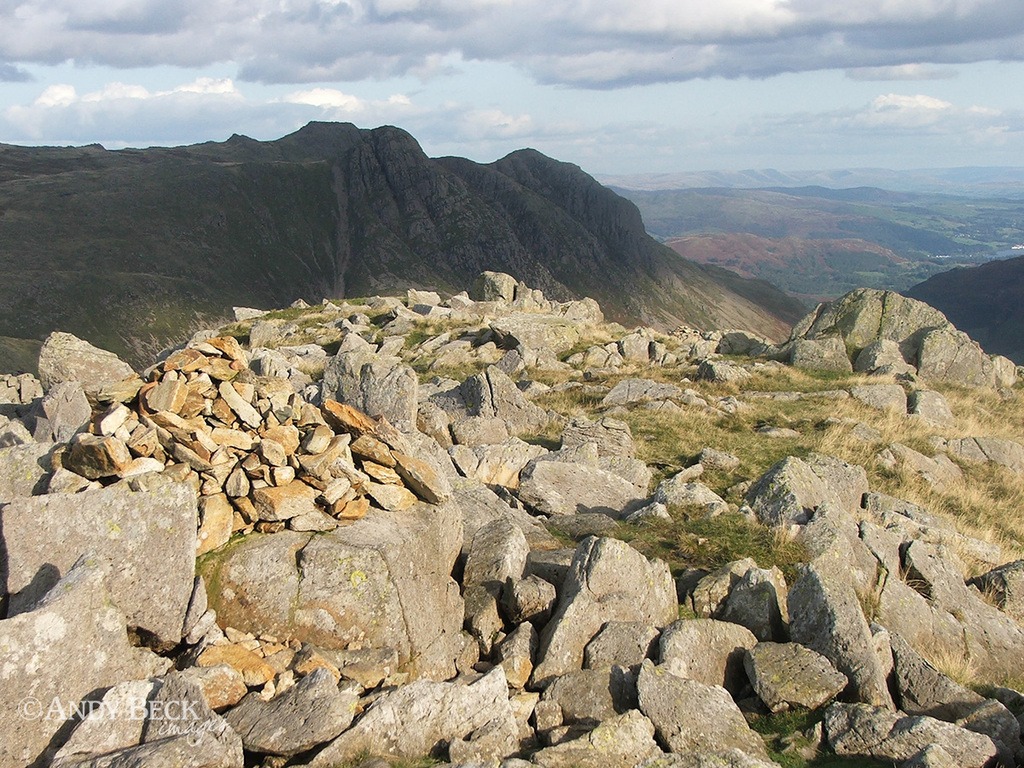
It was a beautiful late afternoon (4.30pm) as we summited the fell. The cairn marking the top is made of orange coloured rocks but the distant Mickleden cairn in AW’s summit drawing has collapsed since his day and just about be seen. See WIC p186.
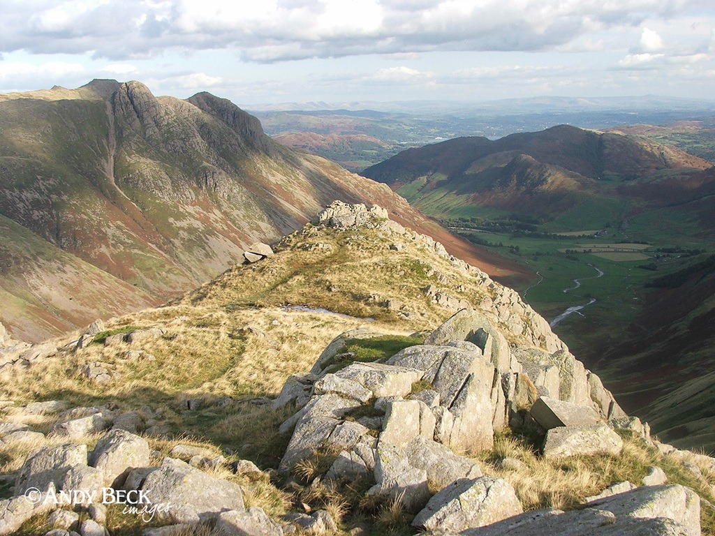
It is a delightful walk along the ridge to the Mickleden cairn, a walk that I am sure many folk don’t undertake.
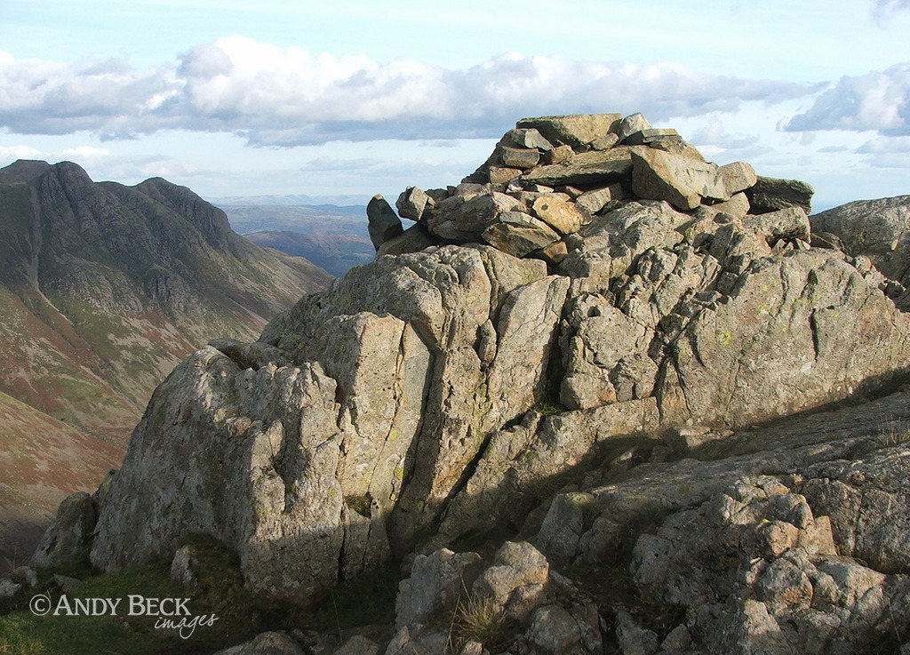
The now fallen Mickelden cairn on the last outcrop of rock on the eastern end of the ridge. Wainwright Rossett Pike 7 (See WIC p187 (For variation I have enhanced the colours)). I now returned west along the ridge and descended back to the Langdale path.
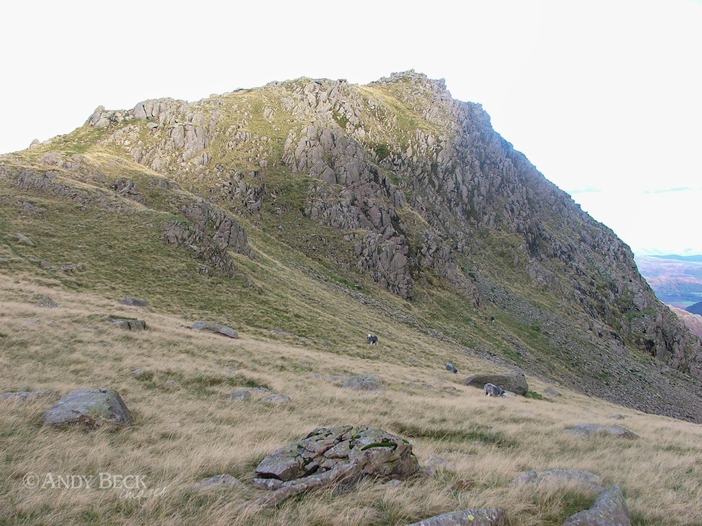
From the top of Rossett Pass I was able to photograph the scene for AW’s image. WIC p186.
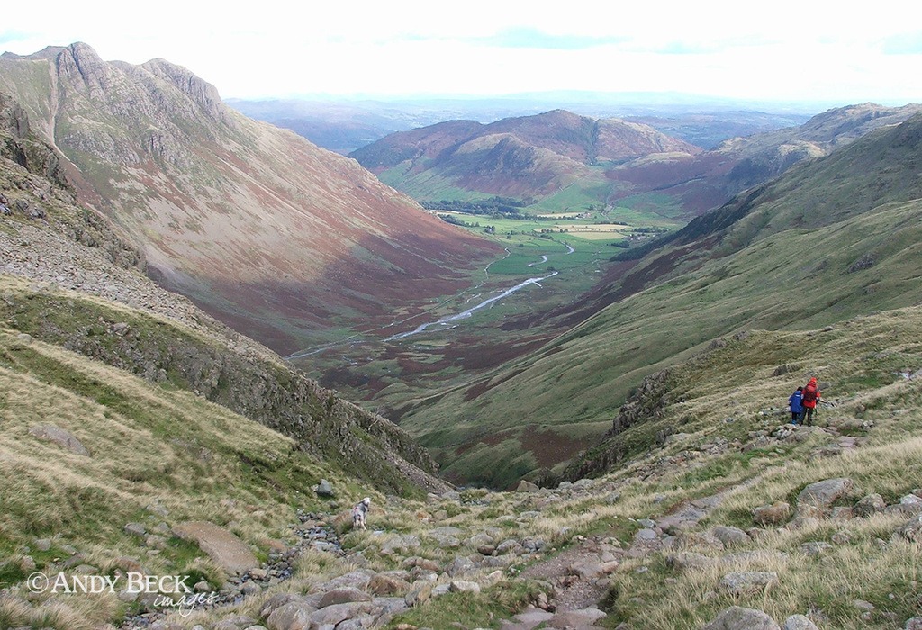
I now began the descent into Langdale. I recall that in the early years of my days walking the fells the main route through the valley was via the steep and rocky Rossett Gill, the gorge in the centre. Now the old pony route has been repaired and makes a much easier but less direct path. We follow those walkers on the descent.
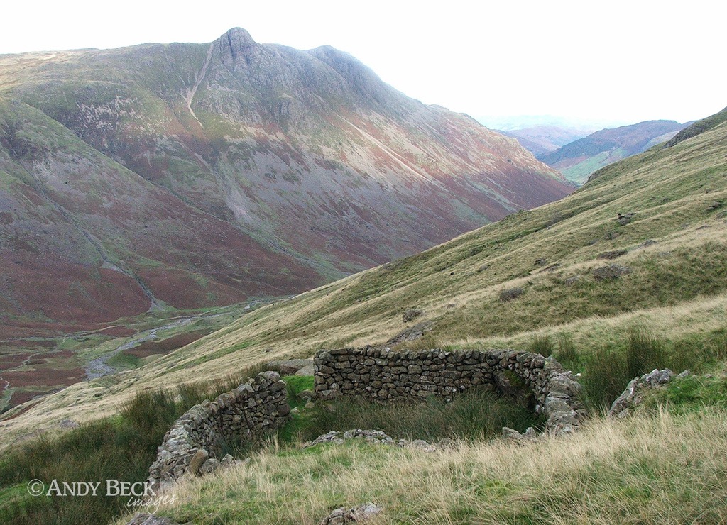
Stopping along the way to visit this old sheep fold, tucked into a small despression and butted up to a small rockface.
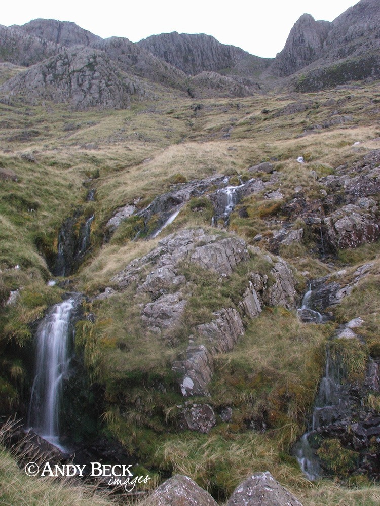
Above us to our right are the crags of Bow Fell, where we were earlier. Bowfell Buttress can be seen on the right.
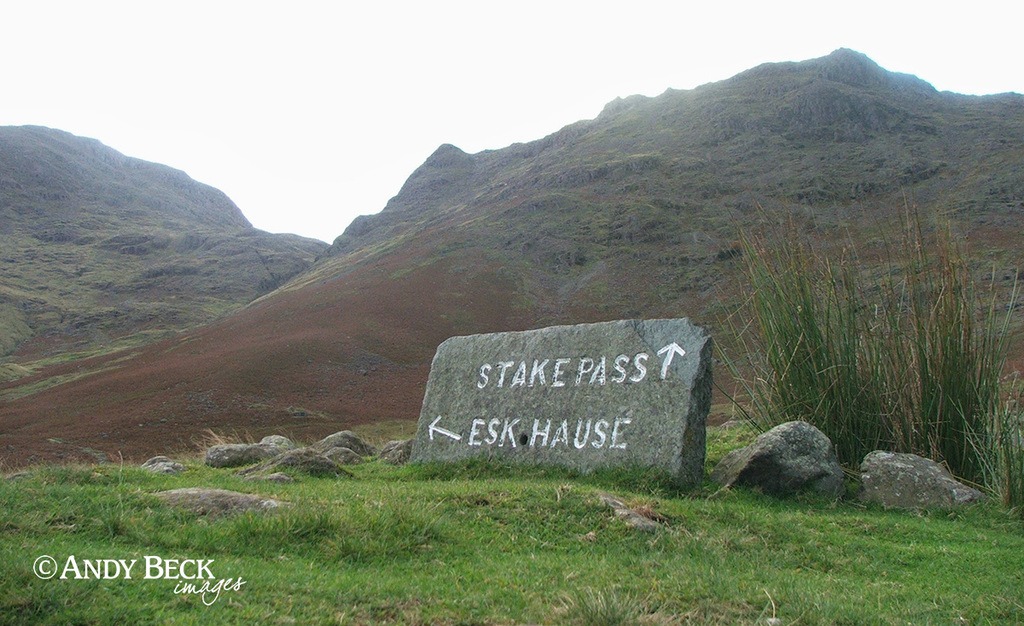
After a steady descent we reach the crossing of the paths at the end of Mickleden.
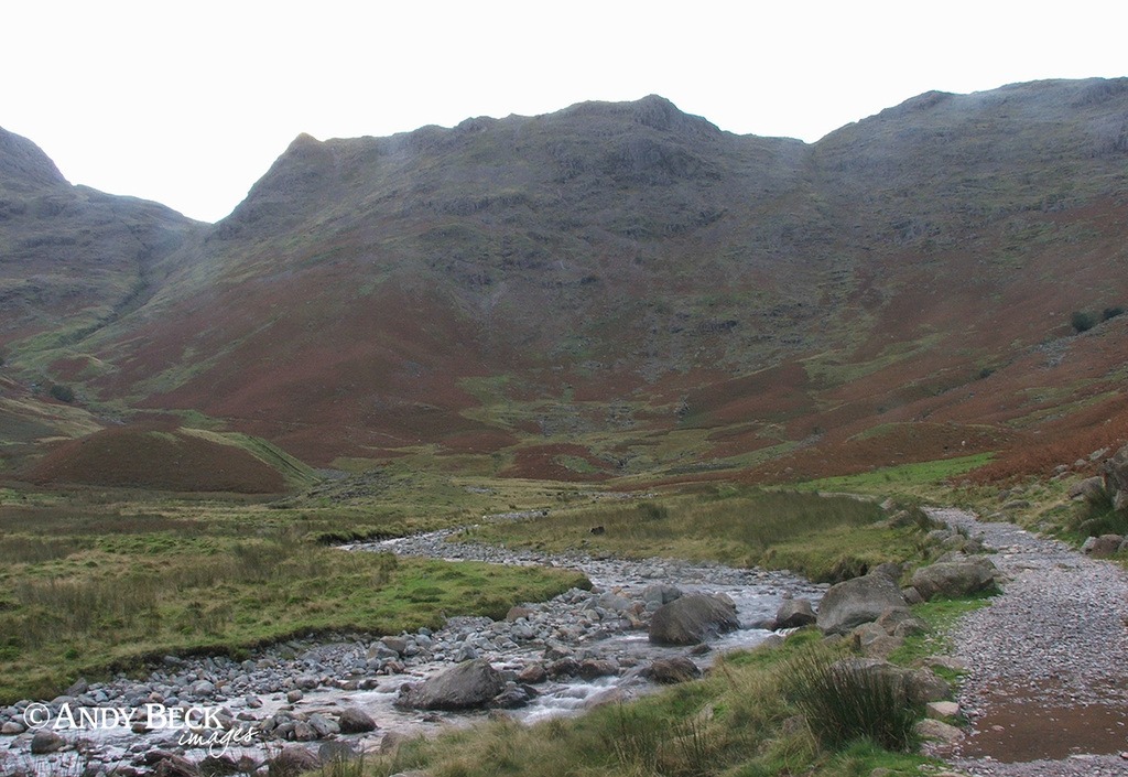
A steady walk now along the good path through Mickleden with Rossett Pike at our back.
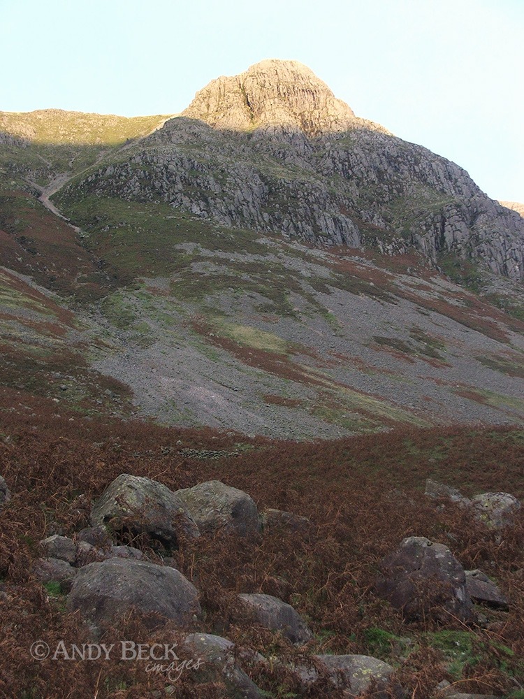
The last of the day’s sunshine on the distinctive top of Pike o’Stickle.
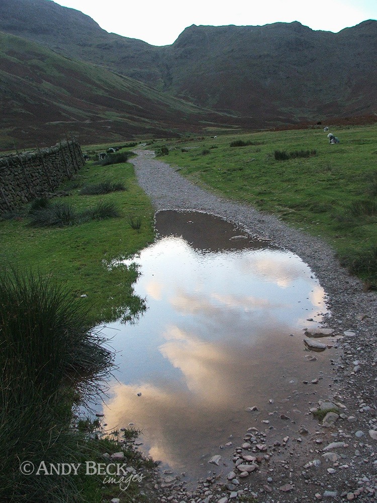
And light is all but gone as we near our starting point at The Old Dungeon Ghyll.
It was 6.30pm by the time we returned to the car. Exactly 11 hours on the fells. I don’t rush, my challenge doesn’t allow that and besides, the fells are there to be enjoyed and appreciated.
If you haven’t already obtained your copy of The Wainwrights in Colour, don’t leave it too late, available copies are limited.
I hope that you have enjoyed this walk. Feel free to comment or ask any questions below.
Thanks for reading.


Hi Andy, great to do this walk with you, albeit from my desk through your great series of pictures!
Coincidentally, Bowfell, Esk Pike and Rosset Pike are the last ones on our second round if the 214 due to be completed in the next few months.
No intentions to do rounds 3, 4 or 5……as such, just to continue wandering the fells wherever and whenever we can.
Cheers
Steve
Hi Steve,
Thanks for taking the time to read and then to comment. Yes, that was a great day out. Like you, I have no plans to intentionally do a third round, just plan to walk to some interesting locations and see how it goes.
Regards
Andy